Estimated Value: $1,303,273
Studio
1
Bath
5,280
Sq Ft
$247/Sq Ft
Est. Value
About This Home
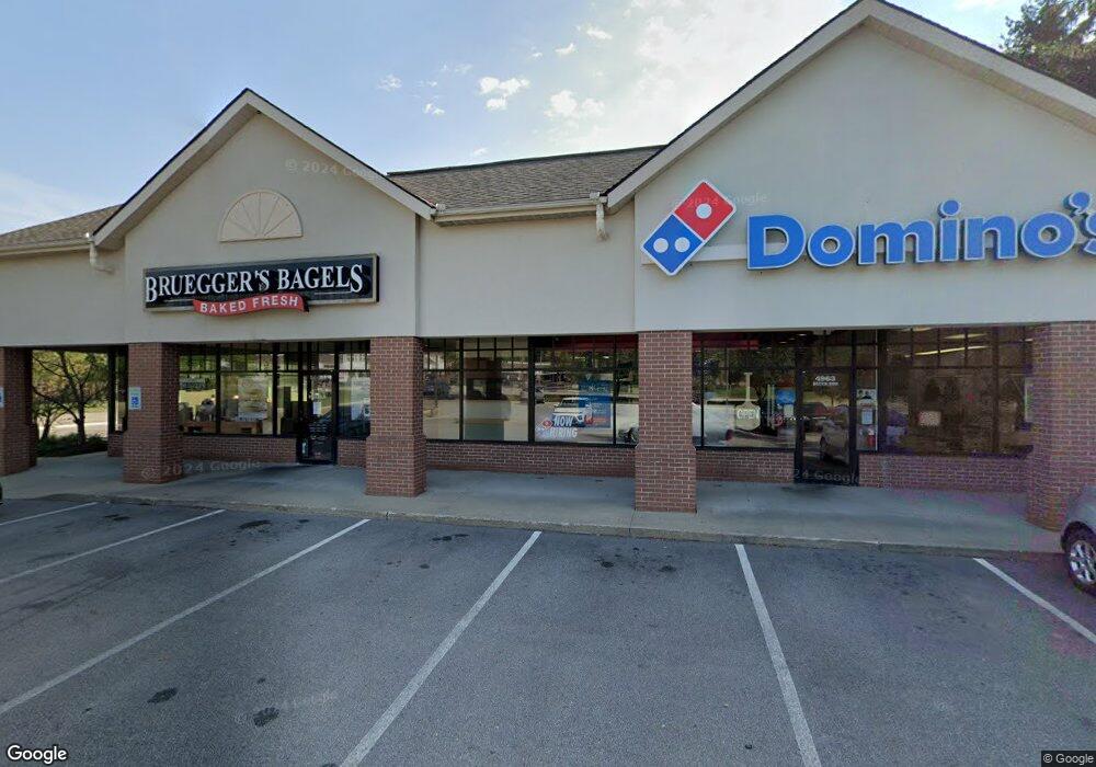
This home is located at 4963 Darrow Rd, Stow, OH 44224 and is currently estimated at $1,303,273, approximately $246 per square foot. 4963 Darrow Rd is a home located in Summit County with nearby schools including Stow-Munroe Falls High School, Primrose School of Hudson, and Holy Family Elementary School.
Ownership History
Date
Name
Owned For
Owner Type
Purchase Details
Closed on
Jun 1, 2013
Sold by
Dubelko Mary
Bought by
Three J S Partners Llc
Current Estimated Value
Purchase Details
Closed on
Jul 16, 2012
Sold by
Firstmerit Bank Na
Bought by
Mary Dubelko
Purchase Details
Closed on
May 6, 2011
Sold by
Omni Fishcreek 91 Llc
Bought by
4963 Properties Llc
Home Financials for this Owner
Home Financials are based on the most recent Mortgage that was taken out on this home.
Original Mortgage
$335,000
Interest Rate
4.91%
Mortgage Type
Future Advance Clause Open End Mortgage
Purchase Details
Closed on
Feb 10, 2003
Sold by
Cohn Victor Trustee
Bought by
Omni Fishcreek 91 Llc
Create a Home Valuation Report for This Property
The Home Valuation Report is an in-depth analysis detailing your home's value as well as a comparison with similar homes in the area
Home Values in the Area
Average Home Value in this Area
Purchase History
| Date | Buyer | Sale Price | Title Company |
|---|---|---|---|
| Three J S Partners Llc | -- | None Available | |
| Mary Dubelko | $94,500 | Patriot Title Agency Inc | |
| 4963 Properties Llc | $595,000 | Guardian Title | |
| Omni Fishcreek 91 Llc | -- | Chicago Title Insurance Comp |
Source: Public Records
Mortgage History
| Date | Status | Borrower | Loan Amount |
|---|---|---|---|
| Previous Owner | 4963 Properties Llc | $335,000 |
Source: Public Records
Tax History
| Year | Tax Paid | Tax Assessment Tax Assessment Total Assessment is a certain percentage of the fair market value that is determined by local assessors to be the total taxable value of land and additions on the property. | Land | Improvement |
|---|---|---|---|---|
| 2025 | $16,042 | $243,954 | $65,625 | $178,329 |
| 2024 | $16,042 | $243,954 | $65,625 | $178,329 |
| 2023 | $12,514 | $243,954 | $65,625 | $178,329 |
| 2022 | $12,514 | $167,916 | $43,750 | $124,166 |
| 2021 | $11,374 | $167,916 | $43,750 | $124,166 |
Source: Public Records
Map
Nearby Homes
- 1525 Spruce Hill Dr
- 5123 Sodalite Dr
- 0 Hibbard Dr
- 5091 Ridge Meadow Dr
- 4623 Cox Dr
- 2279 Becket Cir
- 2352 Becket Cir
- V/L Norton Rd
- 5150 Bayside Lake Blvd
- 2221 Crockett Cir
- 5163 Beckett Ridge
- 1921-1929 Ritchie Rd
- 1995 Weston Dr
- 1953 Arndale Rd
- 4424 Timberdale Dr Unit 4428
- V/L Housley Rd
- 2344 Echo Valley Dr
- 4534 Foresthill Rd
- 5866 Ogilby Dr
- 2055-2059 Bryn Mawr Dr
- 4926 Darrow Rd
- 4916 Darrow Rd
- 1529 Spruce Hill Dr
- 1527 Spruce Hill Dr
- 7B Cedar Crest Ln
- 4880 Cedar Crest Ln
- 4876 Cedar Crest Ln
- 1531 Spruce Hill Dr
- 4891 Cedar Crest Ln
- 1533 Spruce Hill Dr
- 4902 Darrow Rd
- 4978 Cedar Crest Ln
- 1535 Spruce Hill Dr
- 1537 Spruce Hill Dr
- 5D Spruce Hill Dr
- 1539 Spruce Hill Dr
- 5C Spruce Hill Dr
- 4887 Cedar Crest Ln
- 5B Spruce Hill Dr
- 11-S/L Spruce Hill Dr
Your Personal Tour Guide
Ask me questions while you tour the home.