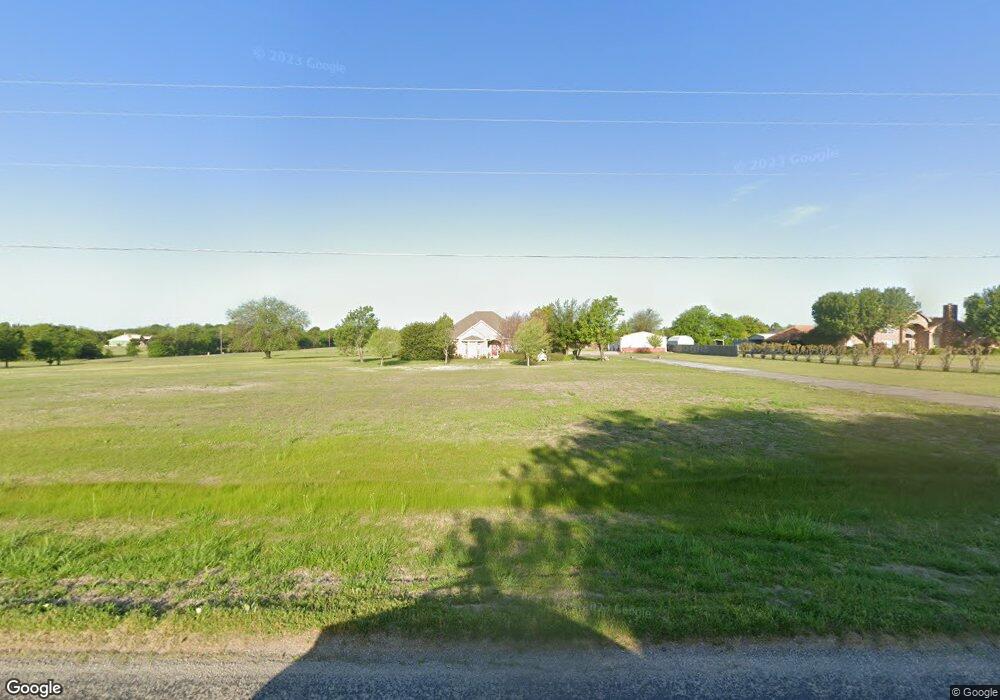
4963 Highland Dr Denison, TX 75020
Estimated Value: $552,665 - $656,000
3
Beds
3
Baths
2,816
Sq Ft
$215/Sq Ft
Est. Value
About This Home
This home is located at 4963 Highland Dr, Denison, TX 75020 and is currently estimated at $604,333, approximately $214 per square foot. 4963 Highland Dr is a home located in Grayson County with nearby schools including Mayes Elementary School, Scott Middle School, and Denison High School.
Ownership History
Date
Name
Owned For
Owner Type
Purchase Details
Closed on
Jul 10, 2015
Sold by
Martin Charles and Martin Jan
Bought by
Martin Rodney and Martin Linda
Current Estimated Value
Purchase Details
Closed on
Mar 9, 2012
Sold by
Johnson Lynn W and Johnson Barbara
Bought by
Martin Charles and Martin Jan
Purchase Details
Closed on
May 4, 2005
Sold by
Dozier Carol B and Dozier Carol Barker
Bought by
Johnson Lynn W and Johnson Barbara A
Purchase Details
Closed on
Jan 2, 2004
Sold by
Dozier Don Stewart
Bought by
Dozier Carol Barker
Create a Home Valuation Report for This Property
The Home Valuation Report is an in-depth analysis detailing your home's value as well as a comparison with similar homes in the area
Home Values in the Area
Average Home Value in this Area
Purchase History
| Date | Buyer | Sale Price | Title Company |
|---|---|---|---|
| Martin Rodney | -- | Chapin Title Co Inc | |
| Martin Charles | -- | Grayson County Title | |
| Johnson Lynn W | -- | -- | |
| Dozier Carol Barker | -- | -- |
Source: Public Records
Tax History
| Year | Tax Paid | Tax Assessment Tax Assessment Total Assessment is a certain percentage of the fair market value that is determined by local assessors to be the total taxable value of land and additions on the property. | Land | Improvement |
|---|---|---|---|---|
| 2025 | $2,862 | $571,683 | -- | -- |
| 2024 | $8,374 | $519,712 | $0 | $0 |
| 2023 | $2,797 | $472,465 | $0 | $0 |
| 2022 | $7,404 | $429,514 | $0 | $0 |
| 2021 | $7,302 | $390,467 | $60,532 | $329,935 |
| 2020 | $7,548 | $380,133 | $50,246 | $329,887 |
| 2019 | $7,924 | $374,089 | $44,452 | $329,637 |
| 2018 | $7,700 | $359,691 | $44,224 | $315,467 |
| 2017 | $7,270 | $337,459 | $38,376 | $299,083 |
| 2016 | $6,659 | $309,130 | $35,748 | $273,382 |
| 2015 | $4,361 | $309,402 | $27,695 | $281,707 |
| 2014 | $3,656 | $246,640 | $27,695 | $218,945 |
Source: Public Records
Map
Nearby Homes
- 5300 Highland Dr
- 106 Glenwood Dr
- 20 Golf Walk Cir
- 108 Golf Walk Cir
- 334 Golf Walk Cir
- 000 TBD Golf Walk Cir
- 3906 Highland Dr
- 2922 Layne Dr
- TBD W Fm 120
- 2912 W Elm St
- 3930 W Fm 120
- Lot #8 Summit Oaks Cir
- 0000 S Hwy 75
- 2811 W Washington St
- 2820 W Washington St
- 2 Summit Oaks Cir
- 48 Summit Oaks Cir
- 1000 Layne Dr
- 6914 Farm To Market 120
- 1 Farm To Market 120
- 4981 Highland Dr
- 4585 Helen Dr
- 4946 Highland Dr
- 54 Highland Terrace Cir
- 112 Highland Terrace Cir
- 138 Highland Terrace Cir
- 5000 Highland Dr
- 000 Helen Dr
- 5097 Highland Dr
- 4550 Helen Dr
- 101 Highland Terrace Cir
- 39.8AC Helen Dr
- TBD Darryl Dr
- TBD Freeman B Rd
- TBD Freeman A Rd
- TBD E Fm 120 D
- TBD E Fm 120 C
- TBD E Fm 120 B
- TBD Shannon Rd
- #7 Lakeview Dr N
Your Personal Tour Guide
Ask me questions while you tour the home.