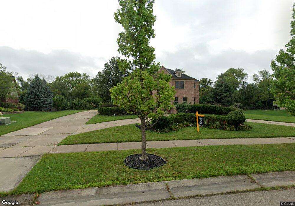
49648 Flushing Ave Unit Bldg-Unit Canton, MI 48188
Estimated Value: $701,000 - $819,000
Studio
5
Baths
3,550
Sq Ft
$215/Sq Ft
Est. Value
About This Home
This home is located at 49648 Flushing Ave Unit Bldg-Unit, Canton, MI 48188 and is currently estimated at $762,991, approximately $214 per square foot. 49648 Flushing Ave Unit Bldg-Unit is a home located in Wayne County with nearby schools including Canton High School, Workman Elementary School, and Plymouth High School.
Ownership History
Date
Name
Owned For
Owner Type
Purchase Details
Closed on
Feb 21, 2019
Sold by
Saad Imad and Saad Inshad
Bought by
Aiyash Noman Mohamad Ali
Current Estimated Value
Purchase Details
Closed on
Jan 24, 2007
Sold by
Wells Fargo Bank Na
Bought by
Saad Imad
Purchase Details
Closed on
Nov 23, 2005
Sold by
Covington Bennie
Bought by
Wells Fargo Bank Na
Create a Home Valuation Report for This Property
The Home Valuation Report is an in-depth analysis detailing your home's value as well as a comparison with similar homes in the area
Home Values in the Area
Average Home Value in this Area
Purchase History
| Date | Buyer | Sale Price | Title Company |
|---|---|---|---|
| Aiyash Noman Mohamad Ali | $529,000 | Ata National Title Group Llc | |
| Saad Imad | $410,000 | Attorneys Title Agency Llc | |
| Wells Fargo Bank Na | $411,141 | None Available |
Source: Public Records
Tax History
| Year | Tax Paid | Tax Assessment Tax Assessment Total Assessment is a certain percentage of the fair market value that is determined by local assessors to be the total taxable value of land and additions on the property. | Land | Improvement |
|---|---|---|---|---|
| 2025 | $5,290 | $350,200 | $0 | $0 |
| 2024 | $5,139 | $306,000 | $0 | $0 |
| 2023 | $4,899 | $271,300 | $0 | $0 |
| 2022 | $10,615 | $261,200 | $0 | $0 |
| 2021 | $6,059 | $275,400 | $0 | $0 |
| 2020 | $10,776 | $264,200 | $0 | $0 |
| 2019 | $8,778 | $233,750 | $0 | $0 |
| 2018 | $7,499 | $223,060 | $0 | $0 |
| 2017 | $8,789 | $220,900 | $0 | $0 |
| 2016 | $7,965 | $232,900 | $0 | $0 |
| 2015 | $20,276 | $227,960 | $0 | $0 |
| 2013 | $19,643 | $214,250 | $0 | $0 |
| 2010 | -- | $184,290 | $93,710 | $90,580 |
Source: Public Records
Map
Nearby Homes
- 985 Truman Dr
- 897 Harrison St
- 379 Springfield Dr
- 50249 Jefferson St Unit 415
- 000 Filmore St
- 001 Filmore St
- 002 Filmore St
- 724 Constitution St
- 1024 Ghent St
- 370 Roosevelt St
- 990 Shay St
- 50413 Monroe St Unit 36
- 48318 Manhattan Cir
- 000 Patriot St
- 137 Village Way
- 0000 Denton Rd
- 00000 Denton Rd
- 913 Ridge Rd S
- 464 Waterview Ct
- 51229 Glen Hollow Ave
- 49648 Flushing Ave Unit 17
- 49618 Flushing Ave
- 49676 Flushing Ave
- 49675 Flushing Ave
- 49601 Flushing Ave Unit 20
- 49706 Flushing Ave Unit 15
- 49588 Flushing Ave Unit 19
- 49559 Flushing Ave
- 49722 Flushing Ave Unit 14
- 49729 Hudson Dr
- 49551 Hudson Dr
- 49751 Flushing Ave
- 49501 Hudson Dr Unit 28
- 49734 Flushing Ave
- 49791 Flushing Ave Unit Bldg-Unit
- 49791 Flushing Ave
- 49451 Hudson Dr
- 49650 Hudson Dr Unit 5
- 49600 Hudson Dr
- 49700 Hudson Dr
Your Personal Tour Guide
Ask me questions while you tour the home.