49664 Surf Ln Neskowin, OR 97149
Estimated Value: $1,292,000 - $1,452,000
6
Beds
4
Baths
2,938
Sq Ft
$460/Sq Ft
Est. Value
About This Home
This home is located at 49664 Surf Ln, Neskowin, OR 97149 and is currently estimated at $1,352,097, approximately $460 per square foot. 49664 Surf Ln is a home located in Tillamook County with nearby schools including Nestucca K-8 School and Nestucca High School.
Ownership History
Date
Name
Owned For
Owner Type
Purchase Details
Closed on
Sep 29, 2025
Sold by
Erickson Michael K
Bought by
Erickson Vacation Homes Llc
Current Estimated Value
Purchase Details
Closed on
Oct 26, 2018
Sold by
Lsp Properties Llc
Bought by
Erickson Michael K
Home Financials for this Owner
Home Financials are based on the most recent Mortgage that was taken out on this home.
Original Mortgage
$532,480
Interest Rate
4.1%
Mortgage Type
Adjustable Rate Mortgage/ARM
Purchase Details
Closed on
Feb 26, 2018
Sold by
Carlos Lars David and Gregorio Sarah Jo
Bought by
Lsp Properties Llc
Create a Home Valuation Report for This Property
The Home Valuation Report is an in-depth analysis detailing your home's value as well as a comparison with similar homes in the area
Home Values in the Area
Average Home Value in this Area
Purchase History
| Date | Buyer | Sale Price | Title Company |
|---|---|---|---|
| Erickson Vacation Homes Llc | -- | None Listed On Document | |
| Erickson Michael K | $808,000 | Fidelity National Title | |
| Lsp Properties Llc | -- | None Available |
Source: Public Records
Mortgage History
| Date | Status | Borrower | Loan Amount |
|---|---|---|---|
| Previous Owner | Erickson Michael K | $532,480 |
Source: Public Records
Tax History Compared to Growth
Tax History
| Year | Tax Paid | Tax Assessment Tax Assessment Total Assessment is a certain percentage of the fair market value that is determined by local assessors to be the total taxable value of land and additions on the property. | Land | Improvement |
|---|---|---|---|---|
| 2024 | $11,711 | $945,300 | $559,720 | $385,580 |
| 2023 | $11,739 | $917,770 | $543,420 | $374,350 |
| 2022 | $11,322 | $891,040 | $527,590 | $363,450 |
| 2021 | $11,004 | $865,090 | $512,230 | $352,860 |
| 2020 | $10,611 | $839,900 | $497,320 | $342,580 |
| 2019 | $10,162 | $792,720 | $482,840 | $309,880 |
| 2018 | $9,220 | $769,640 | $468,790 | $300,850 |
| 2017 | $8,431 | $760,110 | $502,600 | $257,510 |
| 2016 | $7,840 | $746,070 | $507,420 | $238,650 |
| 2015 | $8,162 | $728,640 | $497,760 | $230,880 |
| 2014 | $8,022 | $712,060 | $502,590 | $209,470 |
| 2013 | -- | $704,540 | $361,100 | $343,440 |
Source: Public Records
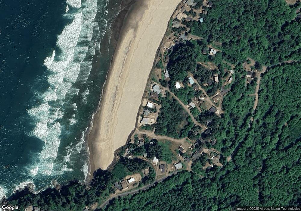
Map
Nearby Homes
- 49855 Seasand Rd
- 49750 Nescove Dr
- 50040 S Beach Rd
- 49400 Blk Nescove Dr Tl303
- TL 4400 Rocky Cove Way
- TL 3102 S Beach Rd
- 3102 S Beach Rd
- 53000
- 48988 S Highway 101 (#338) Hwy
- 49002 U S 101 S
- 49002 S Hwy Unit B share B
- 54150 S Beach Rd
- 53000 Blk South Beach Road Tl 219
- 48988 Highway 101 S Unit 338
- 48988 Highway 101 S Unit 137-F
- 55000 Southbeach Ptn Tl300 Rd
- 55000 Blk S Beach Rd Ptn Tl 300
- 0 Hilltop Ln Unit 704164730
- 4800 Blk Valley View Dr Tl 4000
- 6600 Schoolhouse Rd
- 49664 Surf Rd
- 49670 Surf
- 49660 Surf Rd
- TL2000 Surf Rd
- 0 Surf
- 49674 Surf Rd
- 0 5s1136bc 2000 Unit 13000446
- 49640 Surf Ln
- 49640 Surf Rd
- 2900 Nescove Dr
- 302 Nescove Dr
- 3402 Nescove Dr
- 3404 Nescove Dr
- 1300 Nescove Dr
- 49625 Nescove Dr
- 49976 Seasand Cir
- TL 219 Seasand Cir
- TL 223 Seasand Cir
- 0000 Seasand Cir
- 4100 Seacrest Dr