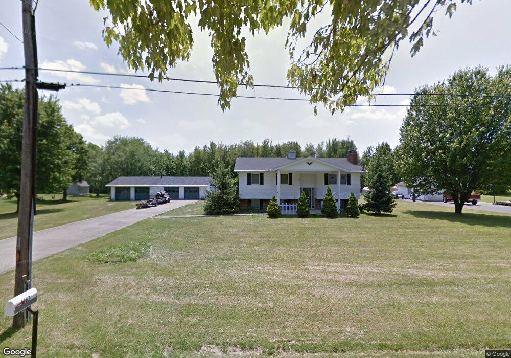
4967 Brant Rd Morrow, OH 45152
Estimated Value: $236,196 - $333,000
2
Beds
2
Baths
2,008
Sq Ft
$140/Sq Ft
Est. Value
About This Home
This home is located at 4967 Brant Rd, Morrow, OH 45152 and is currently estimated at $281,549, approximately $140 per square foot. 4967 Brant Rd is a home located in Warren County with nearby schools including Little Miami Early Childhood Center, Little Miami Intermediate Middle School, and Little Miami Middle School.
Ownership History
Date
Name
Owned For
Owner Type
Purchase Details
Closed on
Jan 18, 2011
Sold by
Bank Of America National Associatiion
Bought by
Colwell Michael
Current Estimated Value
Purchase Details
Closed on
Apr 5, 2010
Sold by
Helton David and Case #09Cv75515
Bought by
Bank Of America National Association
Purchase Details
Closed on
Jan 30, 1991
Sold by
Helton David and Helton Betty
Bought by
Helton and Helton David
Create a Home Valuation Report for This Property
The Home Valuation Report is an in-depth analysis detailing your home's value as well as a comparison with similar homes in the area
Home Values in the Area
Average Home Value in this Area
Purchase History
| Date | Buyer | Sale Price | Title Company |
|---|---|---|---|
| Colwell Michael | $95,000 | Prism Title & Closing Servic | |
| Bank Of America National Association | $100,000 | Attorney | |
| Helton | -- | -- |
Source: Public Records
Tax History
| Year | Tax Paid | Tax Assessment Tax Assessment Total Assessment is a certain percentage of the fair market value that is determined by local assessors to be the total taxable value of land and additions on the property. | Land | Improvement |
|---|---|---|---|---|
| 2025 | $2,591 | $67,260 | $19,870 | $47,390 |
| 2024 | $2,591 | $67,260 | $19,870 | $47,390 |
| 2023 | $2,315 | $54,502 | $13,601 | $40,901 |
| 2022 | $2,291 | $54,502 | $13,601 | $40,901 |
| 2021 | $2,189 | $54,502 | $13,601 | $40,901 |
| 2020 | $2,062 | $45,416 | $11,333 | $34,083 |
| 2019 | $2,098 | $45,416 | $11,333 | $34,083 |
| 2018 | $2,133 | $45,416 | $11,333 | $34,083 |
| 2017 | $1,926 | $41,195 | $10,350 | $30,846 |
| 2016 | $1,965 | $41,195 | $10,350 | $30,846 |
| 2015 | $1,841 | $41,195 | $10,350 | $30,846 |
| 2014 | $1,451 | $31,640 | $9,470 | $22,170 |
| 2013 | $1,427 | $37,710 | $11,190 | $26,520 |
Source: Public Records
Map
Nearby Homes
- 2841 Ohio 123
- 5777 U S 22
- 5031 Ohio 123
- 6051 U S 22 Unit 56
- 114 Highlawn Ave
- 4997 Jessica Suzanne Dr
- 1845 Phillips Rd
- 3155 Rosemary Ct Unit Lot 94
- 3155 Rosemary Ct
- Birch with Included Basement Plan at Woodlands at Morrow
- Spruce with Included Basement Plan at Woodlands at Morrow
- Aspen with Included Basement Plan at Woodlands at Morrow
- Hazel with Included Basement Plan at Woodlands at Morrow
- Elder with Basement Plan at Woodlands at Morrow
- 7182 Brook Dr
- 5039 Mary Louise Ct
- 4836 Jessica Suzanne Dr
- 6407 Cooper Grace Ln
- 5194 Lucy James Ct
- 6490 Cooper Grace Ln
- 4989 Brant Rd
- 4935 Brant Rd
- 4982 Brant Rd
- 4940 Brant Rd
- 4953 Brant Rd
- 4908 Brant Rd
- 5024 Brant Rd
- 5024 Brant Rd Unit 48
- 4875 Brant Rd
- 5015 Brant Rd
- 4880 Brant Rd
- 4849 Brant Rd
- 3288 S State Route 123
- 3262 S State Route 123
- 3340 S State Route 123
- 4850 Brant Rd
- 3300 S State Route 123
- 3300 S State Route 123
- 3152 State Route 123
- 3650 Anderson Rd
Your Personal Tour Guide
Ask me questions while you tour the home.