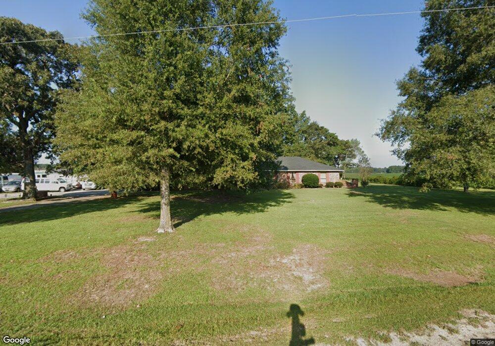
4967 Wrye Branch Rd Newton Grove, NC 28366
Estimated Value: $248,000 - $327,000
2
Beds
3
Baths
2,278
Sq Ft
$125/Sq Ft
Est. Value
About This Home
This home is located at 4967 Wrye Branch Rd, Newton Grove, NC 28366 and is currently estimated at $285,120, approximately $125 per square foot. 4967 Wrye Branch Rd is a home located in Sampson County with nearby schools including Hobbton Elementary School, Hobbton Middle School, and Hobbton High School.
Ownership History
Date
Name
Owned For
Owner Type
Purchase Details
Closed on
Dec 11, 2018
Sold by
Marshburn Thanomsri D and Marshburn Somboon Chotiphas
Bought by
Cox Vera T and Boylas Katrina A
Current Estimated Value
Home Financials for this Owner
Home Financials are based on the most recent Mortgage that was taken out on this home.
Original Mortgage
$129,600
Outstanding Balance
$113,004
Interest Rate
4.3%
Mortgage Type
Adjustable Rate Mortgage/ARM
Estimated Equity
$172,116
Purchase Details
Closed on
Aug 29, 1979
Bought by
Marshburn Thanomsri
Create a Home Valuation Report for This Property
The Home Valuation Report is an in-depth analysis detailing your home's value as well as a comparison with similar homes in the area
Home Values in the Area
Average Home Value in this Area
Purchase History
| Date | Buyer | Sale Price | Title Company |
|---|---|---|---|
| Cox Vera T | $144,000 | -- | |
| Marshburn Thanomsri | -- | -- |
Source: Public Records
Mortgage History
| Date | Status | Borrower | Loan Amount |
|---|---|---|---|
| Open | Cox Vera T | $129,600 |
Source: Public Records
Tax History Compared to Growth
Tax History
| Year | Tax Paid | Tax Assessment Tax Assessment Total Assessment is a certain percentage of the fair market value that is determined by local assessors to be the total taxable value of land and additions on the property. | Land | Improvement |
|---|---|---|---|---|
| 2025 | $1,963 | $250,032 | $25,674 | $224,358 |
| 2024 | $1,750 | $250,032 | $25,674 | $224,358 |
| 2023 | $1,286 | $139,047 | $22,326 | $116,721 |
| 2022 | $1,286 | $139,047 | $22,326 | $116,721 |
| 2021 | $1,286 | $139,047 | $22,326 | $116,721 |
| 2020 | $1,286 | $139,047 | $22,326 | $116,721 |
| 2019 | $1,286 | $139,047 | $0 | $0 |
| 2018 | $765 | $153,071 | $0 | $0 |
| 2017 | $765 | $153,071 | $0 | $0 |
| 2016 | $770 | $153,071 | $0 | $0 |
| 2015 | $770 | $153,071 | $0 | $0 |
| 2014 | $770 | $153,071 | $0 | $0 |
Source: Public Records
Map
Nearby Homes
- 00 Trail End Ln
- 00 Trail End Ln Unit LotWP001
- 445 Bud Johnson Rd
- 267 Ed Collins Ln
- 224 Oak Hill Dr
- 1509 Sampson Acres Dr
- 352 Old Crow Rd
- 3092 Harnett-Dunn Hwy
- 623 O B J Rd
- 879 O B J Rd
- 260 Naylor School Rd
- 520 Fayetteville St
- 636 Tart Town Rd
- Tract 1 Tart Town Rd
- Tract One Tart Town Rd
- 0 Hobbton Hwy Unit 100510708
- 762 Share Cake Rd
- 13015 Hobbton Hwy
- 390 Sandy Ridge Rd
- 10455 U S 701 Hwy
- 4947 Wrye Branch Rd
- 38 Jones Rd
- 267 Jones Rd
- 340 Jones Rd
- 4472 Wrye Branch Rd
- 4487 Wrye Branch Rd
- 411 Jones Rd
- 0 Newton Grove Hwy
- 4442 Wrye Branch Rd
- 520 Jones Rd
- 495 Jones Rd
- 5464 Newton Grove Hwy
- 550 Jones Rd
- 531 Jones Rd
- 5670 Newton Grove Hwy
- 4322 Wrye Branch Rd
- 4325 Wrye Branch Rd
- 1602 Dudley Rd
- 1726 Dudley Rd
- 1680 Dudley Rd