49689 State Route 14 East Palestine, OH 44413
Estimated Value: $209,000 - $276,000
3
Beds
2
Baths
1,836
Sq Ft
$135/Sq Ft
Est. Value
About This Home
This home is located at 49689 State Route 14, East Palestine, OH 44413 and is currently estimated at $248,654, approximately $135 per square foot. 49689 State Route 14 is a home located in Columbiana County with nearby schools including East Palestine Elementary School, East Palestine Middle School, and East Palestine High School.
Ownership History
Date
Name
Owned For
Owner Type
Purchase Details
Closed on
Mar 20, 2017
Sold by
Donnelly William J and Donnelly Mary Jane
Bought by
Donnelly Daniel J and Donnelly Family Trust
Current Estimated Value
Purchase Details
Closed on
Aug 12, 2005
Sold by
Badamo Steven and Badamo Jamie
Bought by
Donnelly William J and Donnelly Mary Jane
Purchase Details
Closed on
Oct 1, 2001
Sold by
Mort Gayle L and Estate Of Raymond C Lindsay
Bought by
Badamo Steven and Badamo Jamie
Home Financials for this Owner
Home Financials are based on the most recent Mortgage that was taken out on this home.
Original Mortgage
$147,250
Outstanding Balance
$58,060
Interest Rate
6.99%
Estimated Equity
$190,594
Create a Home Valuation Report for This Property
The Home Valuation Report is an in-depth analysis detailing your home's value as well as a comparison with similar homes in the area
Home Values in the Area
Average Home Value in this Area
Purchase History
| Date | Buyer | Sale Price | Title Company |
|---|---|---|---|
| Donnelly Daniel J | -- | None Available | |
| Donnelly William J | $168,500 | None Available | |
| Badamo Steven | -- | Heritage Title Agency |
Source: Public Records
Mortgage History
| Date | Status | Borrower | Loan Amount |
|---|---|---|---|
| Open | Badamo Steven | $147,250 |
Source: Public Records
Tax History Compared to Growth
Tax History
| Year | Tax Paid | Tax Assessment Tax Assessment Total Assessment is a certain percentage of the fair market value that is determined by local assessors to be the total taxable value of land and additions on the property. | Land | Improvement |
|---|---|---|---|---|
| 2024 | $2,097 | $64,020 | $9,800 | $54,220 |
| 2023 | $2,099 | $64,020 | $9,800 | $54,220 |
| 2022 | $2,098 | $64,020 | $9,800 | $54,220 |
| 2021 | $1,802 | $52,370 | $9,280 | $43,090 |
| 2020 | $1,802 | $52,370 | $9,280 | $43,090 |
| 2019 | $1,801 | $52,370 | $9,280 | $43,090 |
| 2018 | $1,694 | $47,610 | $8,440 | $39,170 |
| 2017 | $1,694 | $47,610 | $8,440 | $39,170 |
| 2016 | $1,654 | $46,900 | $8,470 | $38,430 |
| 2015 | $1,654 | $46,900 | $8,470 | $38,430 |
| 2014 | $1,651 | $46,900 | $8,470 | $38,430 |
Source: Public Records
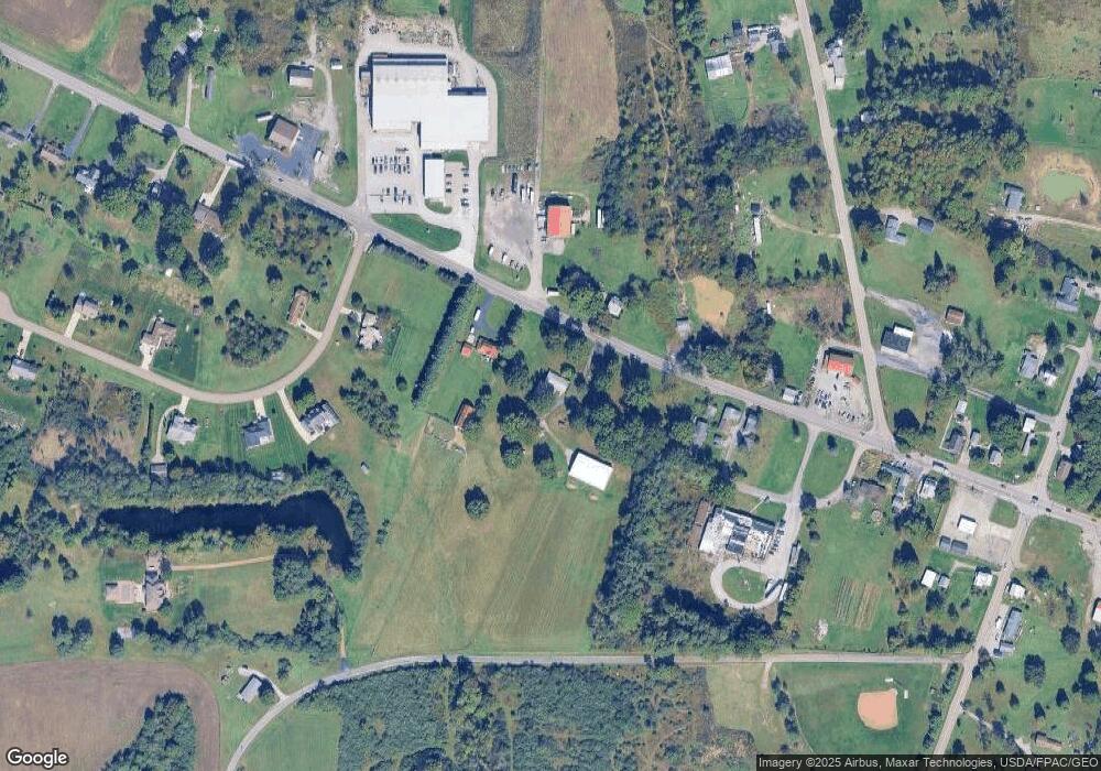
Map
Nearby Homes
- 49631 Foxwood Dr
- 49587 Foxwood Ln
- 49632 Foxwood Dr
- 49451 Foxwood Ln
- 2022 Waterford Rd
- 1939 Waterford Rd
- 1711 Waterford Rd
- 51028 Ohio 14
- 681 Grandview Ave
- 51155 Chain School Rd
- 1141 Howell Ave
- 601 W North Ave
- 581 W North Ave Unit 2
- 51522 State Route 14
- 288 W North Ave
- 737 Moore Ln
- 28 Poland Rd
- 395 W Clark St
- 365 Lyons Ave
- 377 N Market St
- 49649 State Route 14
- 49704 State Route 14
- 49742 Sr 14
- 49769 State Route 14
- 49601 Foxwood Ln
- 49975 State Route 14
- 49557 Foxwood Ln
- 49787 State Route 14
- 49600 Foxwood Ln
- 49838 State Route 14
- 2301 State Route 165
- 49547 Foxwood Ln
- 49852 State Route 14
- 49513 Foxwood Ln
- 49507 State Route 14
- 49522 State Route 14
- 49863 State Route 14
- 2211 State Route 165
- 49994 State Route 14
- 2298 State Route 165