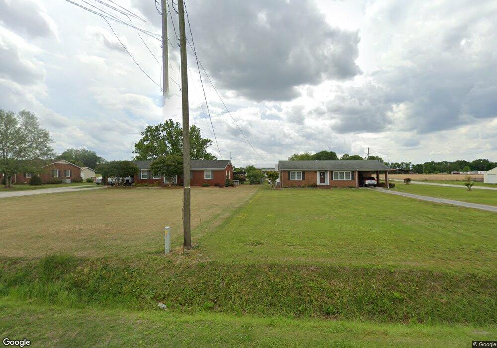
4969 Washington St La Grange, NC 28551
Estimated Value: $148,000 - $211,000
3
Beds
2
Baths
1,388
Sq Ft
$132/Sq Ft
Est. Value
About This Home
This home is located at 4969 Washington St, La Grange, NC 28551 and is currently estimated at $182,525, approximately $131 per square foot. 4969 Washington St is a home with nearby schools including La Grange Elementary School, E.B. Frink Middle School, and North Lenoir High School.
Ownership History
Date
Name
Owned For
Owner Type
Purchase Details
Closed on
Oct 17, 2014
Sold by
Abbott Jean A
Bought by
Rouse James Franklin
Current Estimated Value
Purchase Details
Closed on
Dec 18, 2013
Sold by
Rouse James Franklin and Rouse Peggy Hart
Bought by
Rouse James Franklin
Home Financials for this Owner
Home Financials are based on the most recent Mortgage that was taken out on this home.
Original Mortgage
$68,620
Interest Rate
4.19%
Mortgage Type
Purchase Money Mortgage
Create a Home Valuation Report for This Property
The Home Valuation Report is an in-depth analysis detailing your home's value as well as a comparison with similar homes in the area
Home Values in the Area
Average Home Value in this Area
Purchase History
| Date | Buyer | Sale Price | Title Company |
|---|---|---|---|
| Rouse James Franklin | $7,000 | None Available | |
| Rouse James Franklin | $68,000 | None Available |
Source: Public Records
Mortgage History
| Date | Status | Borrower | Loan Amount |
|---|---|---|---|
| Previous Owner | Rouse James Franklin | $68,620 |
Source: Public Records
Tax History Compared to Growth
Tax History
| Year | Tax Paid | Tax Assessment Tax Assessment Total Assessment is a certain percentage of the fair market value that is determined by local assessors to be the total taxable value of land and additions on the property. | Land | Improvement |
|---|---|---|---|---|
| 2025 | $1,362 | $185,793 | $26,673 | $159,120 |
| 2024 | $931 | $100,668 | $17,240 | $83,428 |
| 2023 | $891 | $100,668 | $17,240 | $83,428 |
| 2022 | $891 | $100,668 | $17,240 | $83,428 |
| 2021 | $719 | $81,229 | $17,240 | $63,989 |
| 2020 | $719 | $81,229 | $17,240 | $63,989 |
| 2019 | $809 | $81,229 | $17,240 | $63,989 |
| 2018 | $797 | $81,229 | $17,240 | $63,989 |
| 2017 | $795 | $81,229 | $17,240 | $63,989 |
| 2014 | $736 | $74,556 | $11,194 | $63,362 |
| 2013 | -- | $74,556 | $11,194 | $63,362 |
| 2011 | -- | $74,556 | $11,194 | $63,362 |
Source: Public Records
Map
Nearby Homes
- 101 Forest Dr
- Hayden Plan at Blair Ridge
- Freeport Plan at Blair Ridge
- Cali Plan at Blair Ridge
- Belhaven Plan at Blair Ridge
- 210 Wood St
- 201 Wood St
- 202 Wood St
- 208 Wood St
- 217 Wood St
- 204 Wood St
- 205 Wood St
- 206 Wood St
- 6272 Highway 70 E
- 303 E James St
- 3619 S Caswell St
- 219 Wood St
- 202 E Washington St
- 4725 Packhouse Rd
- 614 S Caswell St
- 4955 Washington St
- 4977 Washington St
- 4983 Washington St
- 4939 Washington St
- 4995 Washington St
- 5003 Washington St
- 4927 Washington St
- 5011 Washington St
- 4917 Washington St
- 4917 E Washington St
- 5021 Washington St
- 5033 Washington St
- 4849 Washington St
- 5049 Washington St
- 5119 Washington St
- 4831 Washington St
- 5061 Washington St
- 103 Amanda Dawn Cir Unit 36
- 104 Patrick Sydney Place
- 103 Patrick Sydney Place Unit 87