Estimated Value: $396,000 - $607,000
2
Beds
1
Bath
1,098
Sq Ft
$425/Sq Ft
Est. Value
About This Home
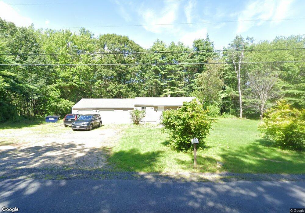
This home is located at 497 Burnt Mill Rd, Wells, ME 04090 and is currently estimated at $466,430, approximately $424 per square foot. 497 Burnt Mill Rd is a home located in York County with nearby schools including Wells Junior High School, Wells Elementary School, and Wells High School.
Ownership History
Date
Name
Owned For
Owner Type
Purchase Details
Closed on
Mar 21, 2008
Sold by
Wentzell Willis F
Bought by
Wentzell Michael J
Current Estimated Value
Home Financials for this Owner
Home Financials are based on the most recent Mortgage that was taken out on this home.
Original Mortgage
$600,000
Outstanding Balance
$373,991
Interest Rate
5.75%
Mortgage Type
Purchase Money Mortgage
Estimated Equity
$92,439
Create a Home Valuation Report for This Property
The Home Valuation Report is an in-depth analysis detailing your home's value as well as a comparison with similar homes in the area
Home Values in the Area
Average Home Value in this Area
Purchase History
| Date | Buyer | Sale Price | Title Company |
|---|---|---|---|
| Wentzell Michael J | -- | -- |
Source: Public Records
Mortgage History
| Date | Status | Borrower | Loan Amount |
|---|---|---|---|
| Open | Wentzell Michael J | $600,000 | |
| Closed | Wentzell Michael J | $600,000 |
Source: Public Records
Tax History Compared to Growth
Tax History
| Year | Tax Paid | Tax Assessment Tax Assessment Total Assessment is a certain percentage of the fair market value that is determined by local assessors to be the total taxable value of land and additions on the property. | Land | Improvement |
|---|---|---|---|---|
| 2024 | $2,514 | $413,480 | $132,170 | $281,310 |
| 2023 | $2,464 | $413,480 | $132,170 | $281,310 |
| 2022 | $2,014 | $192,510 | $60,040 | $132,470 |
| 2021 | $2,025 | $192,510 | $56,190 | $136,320 |
| 2020 | $2,018 | $192,510 | $60,040 | $132,470 |
| 2019 | $2,006 | $192,510 | $60,040 | $132,470 |
| 2018 | $1,987 | $192,510 | $60,040 | $132,470 |
| 2017 | $1,956 | $192,510 | $60,040 | $132,470 |
| 2016 | $1,937 | $192,510 | $60,040 | $132,470 |
| 2015 | $1,915 | $192,510 | $60,040 | $132,470 |
| 2013 | $1,756 | $192,510 | $60,040 | $132,470 |
Source: Public Records
Map
Nearby Homes
- 47 Whistle Stop Cir
- 64 Anna Robert Cir
- 21 Whistle Stop Cir
- 11 Whistle Stop Cir
- 343 Sanford Rd
- 417 Sanford Rd
- 89 Skyline Cir
- 392 Sanford Rd
- 238 Flintlock Village Unit 1
- 176 Flintlock Village Unit 3
- 35 Burnt Mill Rd Unit B
- 1762 Post Rd Unit 209
- 22 N Berwick Rd
- 1516 Post Rd
- 1733 Post Rd
- 97 Flintlock Village Rd Unit 3
- 126 Flintlock Village Unit 3
- 126 Flintlock Village Rd Unit 3
- 43 Sylvan Way Unit 10
- 22 Baker Rd
- 473 Burnt Mill Rd
- 553 Burnt Mill Rd
- 455 Burnt Mill Rd
- 411 Burnt Mill Rd
- 461 Burnt Mill Rd
- 0 Lindsey Rd
- 643 Burnt Mill Rd
- Lot 1 Maplewood Ln
- 391 Burnt Mill Rd
- Lot30 Lindsey
- 18 Lindsey Rd
- 21 Lindsey Rd
- 20 Maplewood Ln
- 42 Lindsey Rd
- 650 Burnt Mill Rd
- 00 Burnt Mill Rd
- 357 Burnt Mill Rd
- 32 Maplewood Ln
- 358 Burnt Mill Rd
- Lot 2 Maplewood