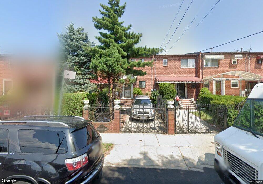
497 Christopher Ave Brooklyn, NY 11212
Brownsville NeighborhoodEstimated Value: $546,087 - $624,000
Studio
--
Bath
1,128
Sq Ft
$518/Sq Ft
Est. Value
About This Home
This home is located at 497 Christopher Ave, Brooklyn, NY 11212 and is currently estimated at $584,772, approximately $518 per square foot. 497 Christopher Ave is a home located in Kings County with nearby schools including P.S. 165 Ida Posner, P.S. 150 - Christopher, and P.S. 156 Waverly.
Ownership History
Date
Name
Owned For
Owner Type
Purchase Details
Closed on
Sep 8, 2000
Sold by
Deshong Joann
Bought by
Mok Yui Knog
Current Estimated Value
Home Financials for this Owner
Home Financials are based on the most recent Mortgage that was taken out on this home.
Original Mortgage
$106,000
Interest Rate
7.83%
Create a Home Valuation Report for This Property
The Home Valuation Report is an in-depth analysis detailing your home's value as well as a comparison with similar homes in the area
Home Values in the Area
Average Home Value in this Area
Purchase History
| Date | Buyer | Sale Price | Title Company |
|---|---|---|---|
| Mok Yui Knog | $133,000 | -- |
Source: Public Records
Mortgage History
| Date | Status | Borrower | Loan Amount |
|---|---|---|---|
| Previous Owner | Mok Yui Knog | $106,000 |
Source: Public Records
Tax History
| Year | Tax Paid | Tax Assessment Tax Assessment Total Assessment is a certain percentage of the fair market value that is determined by local assessors to be the total taxable value of land and additions on the property. | Land | Improvement |
|---|---|---|---|---|
| 2025 | $4,074 | $34,320 | $13,560 | $20,760 |
| 2024 | $4,074 | $32,520 | $13,560 | $18,960 |
| 2023 | $4,120 | $33,120 | $13,560 | $19,560 |
| 2022 | $4,009 | $34,440 | $13,560 | $20,880 |
| 2021 | $3,977 | $30,840 | $13,560 | $17,280 |
| 2019 | $3,488 | $25,140 | $13,560 | $11,580 |
| 2018 | $3,386 | $18,072 | $11,440 | $6,632 |
| 2017 | $3,356 | $17,935 | $11,852 | $6,083 |
| 2016 | $3,073 | $16,920 | $12,579 | $4,341 |
| 2015 | $1,914 | $15,963 | $11,156 | $4,807 |
| 2014 | $1,914 | $15,060 | $11,280 | $3,780 |
Source: Public Records
Map
Nearby Homes
- 699 Sackman St
- 797 Mother Gaston Blvd
- 592 Powell St
- 546 Powell St
- 555 Christopher Ave
- 578 Christopher Ave
- 625 Sackman St
- 892 Mother Gaston Blvd
- 584 Hinsdale St
- 533 Snediker Ave
- 923 Rockaway Ave
- 589 Hinsdale St
- 1753 Linden Blvd
- 1755 Linden Blvd
- 582 Williams Ave
- 578 Williams Ave
- 650 Williams Ave
- 660 Williams Ave
- 524 Chester St
- 460 Hinsdale St
- 495 Christopher Ave
- 499 Christopher Ave
- 501 Christopher Ave
- 493 Christopher Ave
- 503 Christopher Ave
- 491 Christopher Ave
- 489 Christopher Ave
- 489 Christopher Ave Unit Building
- 505 Christopher Ave
- 505 Chistopher Ave
- 487 Christopher Ave
- 507 Christopher Ave
- 714 Sackman St
- 712 Sackman St
- 718 Sackman St
- 708 Sackman St
- 720 Sackman St
- 706 Sackman St
- 724 Sackman St
- 702 Sackman St
Your Personal Tour Guide
Ask me questions while you tour the home.