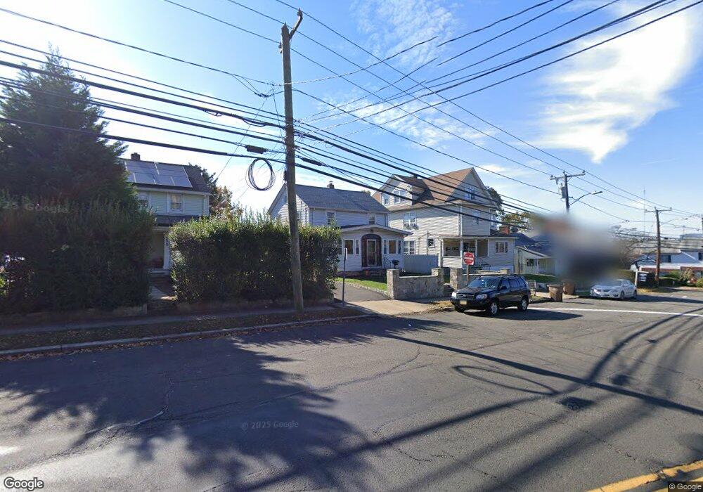
497 Cove Rd Stamford, CT 06902
The Cove NeighborhoodEstimated Value: $593,231 - $642,000
3
Beds
2
Baths
1,460
Sq Ft
$426/Sq Ft
Est. Value
About This Home
This home is located at 497 Cove Rd, Stamford, CT 06902 and is currently estimated at $622,558, approximately $426 per square foot. 497 Cove Rd is a home located in Fairfield County with nearby schools including K. T. Murphy Elementary School, Rippowam Middle School, and Stamford High School.
Ownership History
Date
Name
Owned For
Owner Type
Purchase Details
Closed on
Aug 1, 1991
Sold by
Moore Thomas
Bought by
Johnson Oswald and Johnson Mauca
Current Estimated Value
Purchase Details
Closed on
May 5, 1987
Sold by
Aupranti Mary
Bought by
Moore Thom
Create a Home Valuation Report for This Property
The Home Valuation Report is an in-depth analysis detailing your home's value as well as a comparison with similar homes in the area
Home Values in the Area
Average Home Value in this Area
Purchase History
| Date | Buyer | Sale Price | Title Company |
|---|---|---|---|
| Johnson Oswald | $175,500 | -- | |
| Moore Thom | $199,000 | -- |
Source: Public Records
Mortgage History
| Date | Status | Borrower | Loan Amount |
|---|---|---|---|
| Closed | Moore Thom | $123,000 | |
| Closed | Moore Thom | $132,500 | |
| Closed | Moore Thom | $5,000 | |
| Closed | Moore Thom | $122,400 |
Source: Public Records
Tax History Compared to Growth
Tax History
| Year | Tax Paid | Tax Assessment Tax Assessment Total Assessment is a certain percentage of the fair market value that is determined by local assessors to be the total taxable value of land and additions on the property. | Land | Improvement |
|---|---|---|---|---|
| 2025 | $7,571 | $316,530 | $191,150 | $125,380 |
| 2024 | $7,394 | $316,530 | $191,150 | $125,380 |
| 2023 | $7,989 | $316,530 | $191,150 | $125,380 |
| 2022 | $6,457 | $237,660 | $138,500 | $99,160 |
| 2021 | $6,403 | $237,660 | $138,500 | $99,160 |
| 2020 | $6,262 | $237,660 | $138,500 | $99,160 |
| 2019 | $6,262 | $237,660 | $138,500 | $99,160 |
| 2018 | $6,067 | $237,660 | $138,500 | $99,160 |
| 2017 | $5,524 | $205,440 | $108,400 | $97,040 |
| 2016 | $5,366 | $205,440 | $108,400 | $97,040 |
| 2015 | $5,224 | $205,440 | $108,400 | $97,040 |
| 2014 | $5,093 | $205,440 | $108,400 | $97,040 |
Source: Public Records
Map
Nearby Homes
- 21 Saint Benedict Cir
- 697 Cove Rd Unit 1E
- 697 Cove Rd Unit 2A
- 31 Wascussee Ln Unit 65
- 737 Cove Rd Unit D2
- 15 Robin St
- 421 Sylvan Knoll Rd
- 55 Avery St
- 114 Sylvan Knoll Rd
- 274 Sylvan Knoll Rd
- 107 Lockwood Ave Unit 1B
- 78 Warren St
- 14 Park St
- 209 Seaside Ave Unit 2
- 214 Seaside Ave
- 214 Seaside Ave Unit 2
- 53 William St Unit C
- 171 Sylvan Knoll Rd
- 16 Neponsit St
- 203 Sylvan Knoll Rd