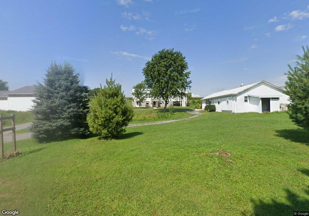
497 Cranberry Rd New Wilmington, PA 16142
Estimated Value: $130,000 - $207,000
3
Beds
--
Bath
1,658
Sq Ft
$105/Sq Ft
Est. Value
About This Home
This home is located at 497 Cranberry Rd, New Wilmington, PA 16142 and is currently estimated at $174,258, approximately $105 per square foot. 497 Cranberry Rd is a home located in Lawrence County with nearby schools including Wilmington Area Elementary School, Wilmington Area Middle School, and Wilmington Area High School.
Ownership History
Date
Name
Owned For
Owner Type
Purchase Details
Closed on
Jan 14, 2021
Sold by
Byler Aaron E and Byler Amanda D
Bought by
Byler Gideon A and Byler Emma
Current Estimated Value
Home Financials for this Owner
Home Financials are based on the most recent Mortgage that was taken out on this home.
Original Mortgage
$90,000
Outstanding Balance
$80,325
Interest Rate
2.71%
Mortgage Type
Future Advance Clause Open End Mortgage
Estimated Equity
$93,933
Purchase Details
Closed on
Jan 28, 2008
Sold by
Byler Jonathan U and Byler Fannie C
Bought by
Byler Sam S and Byler Lydia H
Home Financials for this Owner
Home Financials are based on the most recent Mortgage that was taken out on this home.
Original Mortgage
$30,000
Interest Rate
6.18%
Mortgage Type
Purchase Money Mortgage
Create a Home Valuation Report for This Property
The Home Valuation Report is an in-depth analysis detailing your home's value as well as a comparison with similar homes in the area
Home Values in the Area
Average Home Value in this Area
Purchase History
| Date | Buyer | Sale Price | Title Company |
|---|---|---|---|
| Byler Gideon A | $115,000 | Fc Settlement Services | |
| Byler Sam S | $65,000 | None Available |
Source: Public Records
Mortgage History
| Date | Status | Borrower | Loan Amount |
|---|---|---|---|
| Open | Byler Gideon A | $90,000 | |
| Previous Owner | Byler Sam S | $30,000 |
Source: Public Records
Tax History Compared to Growth
Tax History
| Year | Tax Paid | Tax Assessment Tax Assessment Total Assessment is a certain percentage of the fair market value that is determined by local assessors to be the total taxable value of land and additions on the property. | Land | Improvement |
|---|---|---|---|---|
| 2025 | $2,006 | $72,800 | $22,000 | $50,800 |
| 2024 | $1,839 | $72,800 | $22,000 | $50,800 |
| 2023 | $1,839 | $72,800 | $22,000 | $50,800 |
| 2022 | $1,771 | $70,100 | $22,000 | $48,100 |
| 2021 | $1,742 | $70,100 | $22,000 | $48,100 |
| 2020 | $1,489 | $59,900 | $22,000 | $37,900 |
| 2019 | $1,429 | $59,900 | $22,000 | $37,900 |
| 2018 | $1,398 | $59,900 | $22,000 | $37,900 |
| 2017 | $1,379 | $59,900 | $22,000 | $37,900 |
| 2016 | $420 | $59,900 | $22,000 | $37,900 |
| 2015 | $420 | $59,900 | $22,000 | $37,900 |
| 2014 | $420 | $59,900 | $22,000 | $37,900 |
Source: Public Records
Map
Nearby Homes
- 214 Raptor Cir
- 4166 Pennsylvania 158
- 5216 Old Pulaski Rd
- 977 Glen Rd
- 334 Dutch Ln
- 315 Maidenblush Dr
- 4536 State Route 158
- 1218 McGary Rd
- 3503 State Route 208
- 138 Presnar Dr
- 8 Stephen Dr
- 3660 State Route 208
- 3674 Pennsylvania 208
- 245 Chippewa Dr
- 3340 S Parkside Dr
- 258 Justice Ln
- 3699 Mitchell Rd
- 127 W Vine St
- 0 Plank Rd
- 1946 State Route 208
- 500 Cranberry Rd
- 441 Cranberry Rd
- 584 Cranberry Rd
- 418 Poverty Point Rd
- 324 Cranberry Rd
- 416 Poverty Point Rd
- 670 Cranberry Rd
- 451 Poverty Point Rd
- 575 Poverty Point Rd
- 1111 Cotton Rd
- 1101 Cotton Rd
- 1329 Cotton Rd
- 156 Yoder Rd
- 684 Orchard Ln
- 1567 Cotton Rd
- 884 Poverty Point Rd
- 1713 Heather Heights Rd
- 877 Poverty Point Rd
- 1829 Heather Heights Rd
- 315 Hutchison Ln