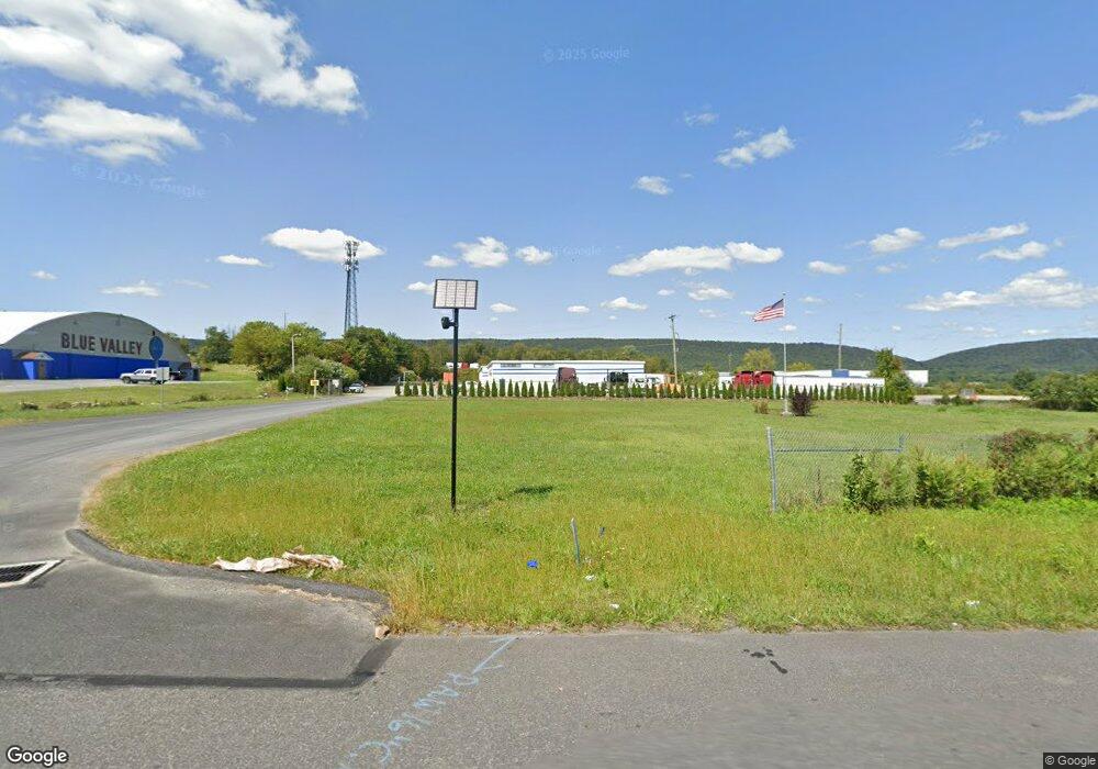
497 E Moorestown Rd Wind Gap, PA 18091
Estimated Value: $1,508,471
Studio
--
Bath
18,130
Sq Ft
$83/Sq Ft
Est. Value
About This Home
This home is located at 497 E Moorestown Rd, Wind Gap, PA 18091 and is currently estimated at $1,508,471, approximately $83 per square foot. 497 E Moorestown Rd is a home located in Northampton County with nearby schools including Plainfield Elementary School, Wind Gap Middle School, and Pen Argyl Area High School.
Ownership History
Date
Name
Owned For
Owner Type
Purchase Details
Closed on
Jul 29, 2020
Sold by
Edwards Craig T and Windgap Interstate 33 Land Tru
Bought by
Singh Balvir and Bs Virk Llc
Current Estimated Value
Home Financials for this Owner
Home Financials are based on the most recent Mortgage that was taken out on this home.
Original Mortgage
$1,000,000
Interest Rate
2.8%
Mortgage Type
Purchase Money Mortgage
Purchase Details
Closed on
Dec 4, 2019
Sold by
Silver Line Inc
Bought by
Wind Gap Interstate 33 Land Trust
Purchase Details
Closed on
Mar 8, 2019
Sold by
County Of Northampton
Bought by
Bernie Enterprises Inc
Purchase Details
Closed on
Nov 20, 2003
Sold by
Silver Line Inc
Bought by
Wind Gap Interstate
Purchase Details
Closed on
Jan 1, 1979
Bought by
Silver Line Inc
Create a Home Valuation Report for This Property
The Home Valuation Report is an in-depth analysis detailing your home's value as well as a comparison with similar homes in the area
Home Values in the Area
Average Home Value in this Area
Purchase History
| Date | Buyer | Sale Price | Title Company |
|---|---|---|---|
| Singh Balvir | $1,050,000 | Pensbury Abstract Inc | |
| Wind Gap Interstate 33 Land Trust | $1,566 | None Available | |
| Bernie Enterprises Inc | $184,638 | None Available | |
| Wind Gap Interstate | $87,000 | -- | |
| Silver Line Inc | -- | -- |
Source: Public Records
Mortgage History
| Date | Status | Borrower | Loan Amount |
|---|---|---|---|
| Previous Owner | Singh Balvir | $1,000,000 |
Source: Public Records
Tax History Compared to Growth
Tax History
| Year | Tax Paid | Tax Assessment Tax Assessment Total Assessment is a certain percentage of the fair market value that is determined by local assessors to be the total taxable value of land and additions on the property. | Land | Improvement |
|---|---|---|---|---|
| 2025 | $3,211 | $297,300 | $98,500 | $198,800 |
| 2024 | $22,405 | $297,300 | $98,500 | $198,800 |
| 2023 | $22,405 | $297,300 | $98,500 | $198,800 |
| 2022 | $21,959 | $297,300 | $98,500 | $198,800 |
| 2021 | $22,256 | $297,300 | $98,500 | $198,800 |
| 2020 | $22,256 | $297,300 | $98,500 | $198,800 |
| 2019 | $21,789 | $297,300 | $98,500 | $198,800 |
| 2018 | $21,299 | $297,300 | $98,500 | $198,800 |
| 2017 | $20,867 | $297,300 | $98,500 | $198,800 |
| 2016 | -- | $297,300 | $98,500 | $198,800 |
| 2015 | -- | $297,300 | $98,500 | $198,800 |
| 2014 | -- | $297,300 | $98,500 | $198,800 |
Source: Public Records
Map
Nearby Homes
- 0 Pennsylvania 33
- 0 W Center St
- 1731 W 8th St W
- 6366 Sullivan Trail
- 1220 Jane Ln
- 6 Indian Trail
- 3 Tribe Ln
- 12 Indian Trail
- 0 Pa 33 Unit 18-3648
- 102 E Moorestown Rd
- 901 Renaldi Rd
- 913 Constitution Ave
- 845 W Pennsylvania Ave
- 1747 Pen Argyl Rd
- 639 George St
- 0 Belfast Rd
- 919 Breidinger Rd
- 968 Bangor Rd
- 1111 Delabole Junction Rd
- 312 N Robinson Ave
- 493 E Moorestown Rd
- 0 Epps St
- 382 Epps St
- 178 Epps St
- 386 Epps St
- 455 E Moorestown Rd
- 1413 Jacobsburg Rd
- 1420 Jacobsburg Rd
- 497 Bushkill Ln
- 512 E Moorestown Rd
- 1403 Jacobsburg Rd
- 0 Abel Colony Rd
- 0 Abel Colony Rd Unit 7-3862
- 0 Abel Colony Rd Unit PM-118456
- 0 Abel Colony Rd Unit 744759
- 0 Abel Colony Rd Unit PM-115312
- 0 Abel Colony Rd Unit 738202
- 0 Abel Colony Rd Unit 707949
- 0 Abel Colony Rd Unit PM-75743
- 0 Abel Colony Rd Unit 672831