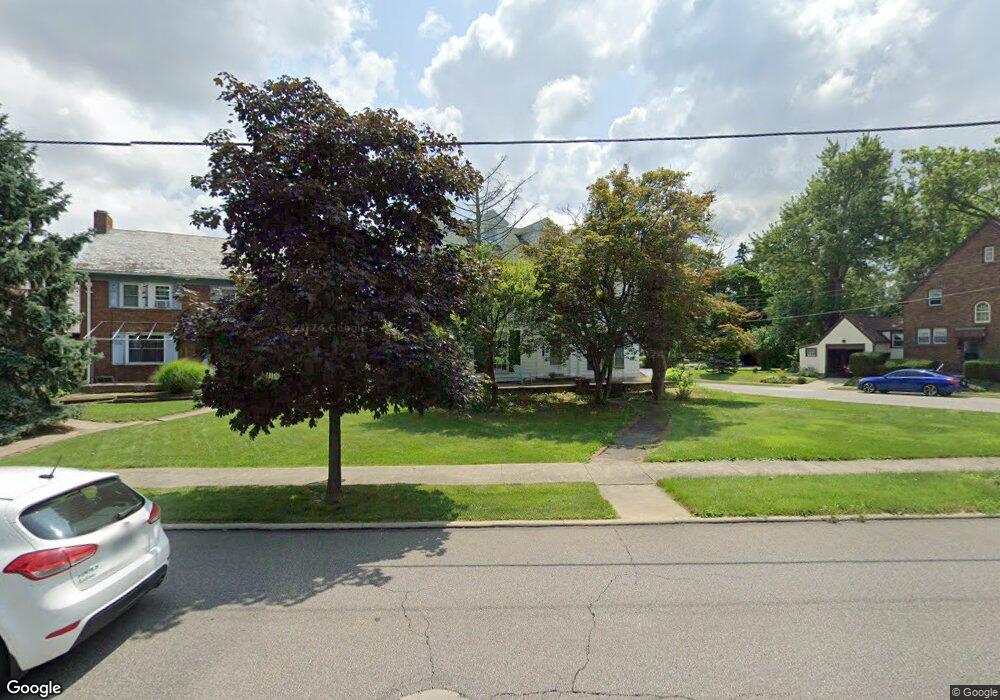
497 Marion Ave Mansfield, OH 44903
Estimated Value: $138,000 - $179,000
4
Beds
3
Baths
2,437
Sq Ft
$65/Sq Ft
Est. Value
About This Home
This home is located at 497 Marion Ave, Mansfield, OH 44903 and is currently estimated at $157,695, approximately $64 per square foot. 497 Marion Ave is a home located in Richland County with nearby schools including Goal Digital Academy, Discovery School, and St. Peter's High School/Junior High.
Ownership History
Date
Name
Owned For
Owner Type
Purchase Details
Closed on
Mar 20, 2019
Sold by
Nash Donald P and Nash Jo Ann
Bought by
Kipp William P A and Kipp Kristin J
Current Estimated Value
Home Financials for this Owner
Home Financials are based on the most recent Mortgage that was taken out on this home.
Original Mortgage
$79,200
Interest Rate
4.4%
Mortgage Type
Future Advance Clause Open End Mortgage
Create a Home Valuation Report for This Property
The Home Valuation Report is an in-depth analysis detailing your home's value as well as a comparison with similar homes in the area
Home Values in the Area
Average Home Value in this Area
Purchase History
| Date | Buyer | Sale Price | Title Company |
|---|---|---|---|
| Kipp William P A | $88,000 | Chicago Title |
Source: Public Records
Mortgage History
| Date | Status | Borrower | Loan Amount |
|---|---|---|---|
| Closed | Kipp William P A | $79,200 |
Source: Public Records
Tax History Compared to Growth
Tax History
| Year | Tax Paid | Tax Assessment Tax Assessment Total Assessment is a certain percentage of the fair market value that is determined by local assessors to be the total taxable value of land and additions on the property. | Land | Improvement |
|---|---|---|---|---|
| 2024 | $1,867 | $39,870 | $4,890 | $34,980 |
| 2023 | $1,867 | $39,870 | $4,890 | $34,980 |
| 2022 | $1,595 | $28,550 | $4,200 | $24,350 |
| 2021 | $1,606 | $28,550 | $4,200 | $24,350 |
| 2020 | $1,643 | $28,550 | $4,200 | $24,350 |
| 2019 | $1,502 | $23,040 | $4,200 | $18,840 |
| 2018 | $1,483 | $23,040 | $4,200 | $18,840 |
| 2017 | $1,443 | $23,040 | $4,200 | $18,840 |
| 2016 | $1,358 | $21,030 | $5,570 | $15,460 |
| 2015 | $1,358 | $31,550 | $5,860 | $25,690 |
| 2014 | $1,877 | $31,550 | $5,860 | $25,690 |
| 2012 | $517 | $31,550 | $5,860 | $25,690 |
Source: Public Records
Map
Nearby Homes
- 616 Cline Ave
- 679 Coleman Rd
- 538 Broadview Ave
- 133 Stewart Ave S
- 126 Dawson Ave
- 118 Parkwood Blvd
- 88 Sherman Ave
- 78 Glenwood Blvd
- 114 Vennum Ave
- 76 Bartley Ave
- 191 Fairlawn Ave
- 408 Fairlawn Ave
- 118 Lind Ave
- 143 Fairlawn Ave
- 135 Fairlawn Ave
- 129 Fairlawn Ave
- 257 Wood St
- 41 Parkwood Blvd
- 24 Stewart Ave S
- 212 Marlow Rd
- 505 Marion Ave
- 491 Marion Ave
- 511 Marion Ave
- 481 Marion Ave
- 514 Marion Ave
- 476 Marion Ave
- 517 Woodward Ave
- 479 Marion Ave
- 512 Woodward Ave
- 558 Coleman Rd
- 470 Marion Ave
- 515 Woodward Ave
- 516 Marion Ave
- 560 Coleman Rd
- 508 Woodward Ave
- 466 Marion Ave
- 522 Forest St
- 511 Woodward Ave
- 465 Marion Ave
- 518 Forest St