Estimated Value: $334,671 - $480,000
--
Bed
--
Bath
2,444
Sq Ft
$165/Sq Ft
Est. Value
About This Home
This home is located at 497 N Cardinal Rd, Azle, TX 76020 and is currently estimated at $402,168, approximately $164 per square foot. 497 N Cardinal Rd is a home located in Parker County with nearby schools including Cross Timbers Elementary School, W E Hoover Elementary School, and Santo Forte Junior High School.
Ownership History
Date
Name
Owned For
Owner Type
Purchase Details
Closed on
Jun 14, 2018
Sold by
Dorotha Harris Smith
Bought by
Blair Banty and Blair Kathy
Current Estimated Value
Home Financials for this Owner
Home Financials are based on the most recent Mortgage that was taken out on this home.
Original Mortgage
$150,000
Outstanding Balance
$130,073
Interest Rate
4.62%
Estimated Equity
$272,095
Purchase Details
Closed on
Nov 20, 1984
Bought by
Blair Kathy Dianne
Create a Home Valuation Report for This Property
The Home Valuation Report is an in-depth analysis detailing your home's value as well as a comparison with similar homes in the area
Home Values in the Area
Average Home Value in this Area
Purchase History
| Date | Buyer | Sale Price | Title Company |
|---|---|---|---|
| Blair Banty | -- | -- | |
| Blair Kathy Dianne | -- | -- |
Source: Public Records
Mortgage History
| Date | Status | Borrower | Loan Amount |
|---|---|---|---|
| Open | Blair Banty | $150,000 | |
| Closed | Blair Banty | -- |
Source: Public Records
Tax History Compared to Growth
Tax History
| Year | Tax Paid | Tax Assessment Tax Assessment Total Assessment is a certain percentage of the fair market value that is determined by local assessors to be the total taxable value of land and additions on the property. | Land | Improvement |
|---|---|---|---|---|
| 2025 | $331 | $116,402 | -- | -- |
| 2024 | $331 | $105,820 | -- | -- |
| 2023 | $331 | $96,200 | $0 | $0 |
| 2022 | $1,940 | $131,450 | $23,770 | $107,680 |
| 2021 | $1,875 | $131,450 | $23,770 | $107,680 |
| 2020 | $1,697 | $72,280 | $18,460 | $53,820 |
| 2019 | $1,704 | $72,280 | $18,460 | $53,820 |
| 2018 | $1,553 | $65,440 | $9,880 | $55,560 |
| 2017 | $1,363 | $65,440 | $9,880 | $55,560 |
| 2016 | $1,239 | $51,970 | $9,880 | $42,090 |
| 2015 | $321 | $51,970 | $9,880 | $42,090 |
| 2014 | $1,223 | $61,840 | $22,350 | $39,490 |
Source: Public Records
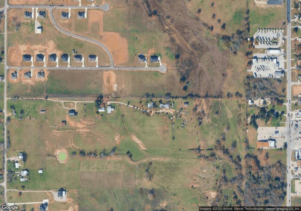
Map
Nearby Homes
- 1012 Katie Ct
- 1001 Katie Ct
- 1633 Kay Ln
- 2001 Donna Ct
- 560 N Cardinal Rd
- 845 N Cardinal Rd
- 11870 Fm 730 N
- 1300 Tiffany St
- TBD Nelson Rd
- TBD Harris Rd
- 934 Tiffany St
- 110 Tiffany Ct
- 2001 Wood Trail
- 729 E Reno Rd
- 809 Amon Trail
- 971 E Barry St
- 979 E Barry St
- 975 E Barry St
- 3.760 acres Boyd Rd
- 3.78 acres Boyd Rd
- 495 N Cardinal Rd
- 1024 Katie Ct
- 1020 Katie Ct
- 3019 Rebecca Ln
- 1016 Katie Ct
- 493 N Cardinal Rd
- 2024 Donna Ct
- 2020 Donna Ct
- 1008 Katie Ct
- 1009 Katie Ct
- 11713 Fm 730 N
- 2025 Donna Ct
- 11701 Fm 730 N
- 11645 Fm 730 N
- 2017 Donna Ct
- 11815 Farm To Market Road 730 N
- 2013 Donna Ct
- 1000 Katie Ct
- 455 N Cardinal Rd
- 11645 Fm Road 730 N