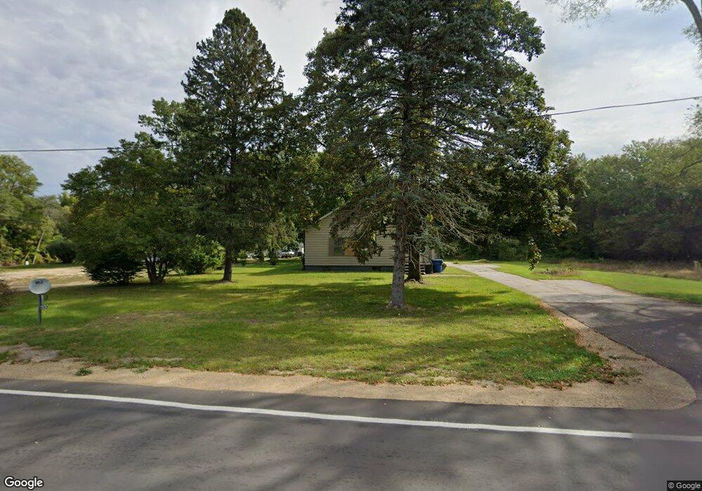
497 N Euclid Ave Benton Harbor, MI 49022
Benton Heights NeighborhoodEstimated Value: $111,000 - $141,000
--
Bed
--
Bath
1,300
Sq Ft
$97/Sq Ft
Est. Value
About This Home
This home is located at 497 N Euclid Ave, Benton Harbor, MI 49022 and is currently estimated at $126,632, approximately $97 per square foot. 497 N Euclid Ave is a home located in Berrien County with nearby schools including Fair Plain Middle School, Benton Harbor High School, and Mildred C. Wells Preparatory Academy.
Ownership History
Date
Name
Owned For
Owner Type
Purchase Details
Closed on
Jun 17, 2024
Sold by
Harris Denyale
Bought by
Berrien County Treasurer
Current Estimated Value
Purchase Details
Closed on
Jun 13, 2023
Sold by
Harris Denyale
Bought by
Berrien County Treasurer
Purchase Details
Closed on
Jul 23, 2013
Sold by
Barnes Jessie
Bought by
Harris Denyale
Purchase Details
Closed on
Mar 30, 2000
Purchase Details
Closed on
Nov 7, 1988
Purchase Details
Closed on
Jun 23, 1979
Purchase Details
Closed on
May 10, 1979
Create a Home Valuation Report for This Property
The Home Valuation Report is an in-depth analysis detailing your home's value as well as a comparison with similar homes in the area
Home Values in the Area
Average Home Value in this Area
Purchase History
| Date | Buyer | Sale Price | Title Company |
|---|---|---|---|
| Berrien County Treasurer | -- | -- | |
| Berrien County Treasurer | -- | -- | |
| Harris Denyale | -- | None Available | |
| -- | $32,000 | -- | |
| -- | $32,000 | -- | |
| -- | $19,900 | -- | |
| -- | $16,000 | -- |
Source: Public Records
Tax History Compared to Growth
Tax History
| Year | Tax Paid | Tax Assessment Tax Assessment Total Assessment is a certain percentage of the fair market value that is determined by local assessors to be the total taxable value of land and additions on the property. | Land | Improvement |
|---|---|---|---|---|
| 2025 | $3,041 | $52,600 | $0 | $0 |
| 2024 | $1,573 | $47,600 | $0 | $0 |
| 2023 | $1,498 | $46,600 | $0 | $0 |
| 2022 | $1,426 | $42,400 | $0 | $0 |
| 2021 | $1,969 | $40,800 | $1,400 | $39,400 |
| 2020 | $2,097 | $40,800 | $0 | $0 |
| 2019 | $2,526 | $36,500 | $1,200 | $35,300 |
| 2018 | $1,644 | $36,500 | $0 | $0 |
| 2017 | $1,636 | $36,000 | $0 | $0 |
| 2016 | $1,206 | $37,300 | $0 | $0 |
| 2015 | $1,544 | $47,900 | $0 | $0 |
| 2014 | $814 | $47,600 | $0 | $0 |
Source: Public Records
Map
Nearby Homes
- 425 N Euclid Ave
- 2202 Berg Ave
- 000 N Euclid Ave
- 00 N Euclid Ave
- 0 N Euclid Ave Unit 24029856
- 855 Milo St
- 948 Baldanza Ave
- 0 Vl Clinton Rd
- 2416 Highland Ave
- VL Clinton Rd
- 140 N Crystal Ave
- 2039 Taube Ave
- 1993 Taube Ave
- 149 Bridgman Ave
- 2062 Hatch Ave
- 1081 Villa Ct
- 185 Felton St
- 1187 Villa Ct
- 2277 Laurel Dr
- 2431 E Britain Ave
- 519 N Euclid Ave
- 2150 Territorial Rd
- 476 N Euclid Ave
- 2076 Territorial Rd
- 464 N Euclid Ave
- 2125 Territorial Rd
- 438 N Euclid Ave
- 2077 Peterson Dr
- 2070 Territorial Rd
- 2080 Peterson Dr
- 426 N Euclid Ave
- 2069 Peterson Dr
- 2072 Peterson Dr
- 2058 Territorial Rd
- 414 N Euclid Ave
- 2057 Peterson Dr
- 2064 Peterson Dr
- 2168 Territorial Rd
- 2188 Territorial Rd
- 2050 Territorial Rd