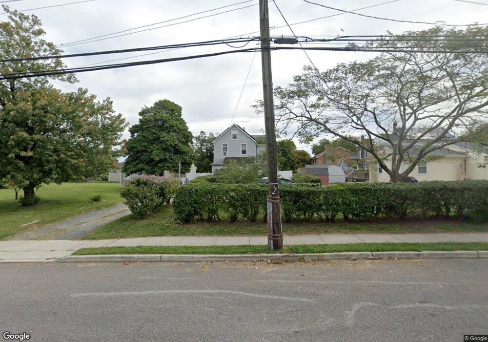
497 Sairs Ave Long Branch, NJ 07740
Estimated Value: $598,837 - $863,000
4
Beds
1
Bath
1,532
Sq Ft
$474/Sq Ft
Est. Value
About This Home
This home is located at 497 Sairs Ave, Long Branch, NJ 07740 and is currently estimated at $726,459, approximately $474 per square foot. 497 Sairs Ave is a home located in Monmouth County with nearby schools including Long Branch High School, Holy Trinity School, and Bet Yaakov of the Jersey Shore.
Ownership History
Date
Name
Owned For
Owner Type
Purchase Details
Closed on
May 6, 2025
Sold by
Buttonwood Llc
Bought by
Buttonwood Llc
Current Estimated Value
Purchase Details
Closed on
Jun 23, 2018
Sold by
Langan Lenor
Bought by
Langan Lenor
Purchase Details
Closed on
Oct 15, 1998
Sold by
Weyhknecht Leon
Bought by
Langan Michael and Langan Lenor
Home Financials for this Owner
Home Financials are based on the most recent Mortgage that was taken out on this home.
Original Mortgage
$94,400
Interest Rate
6.49%
Create a Home Valuation Report for This Property
The Home Valuation Report is an in-depth analysis detailing your home's value as well as a comparison with similar homes in the area
Home Values in the Area
Average Home Value in this Area
Purchase History
| Date | Buyer | Sale Price | Title Company |
|---|---|---|---|
| Buttonwood Llc | -- | Coastal Title | |
| Langan Lenor | -- | Coastal Title | |
| Langan Lenor | -- | Coastal Title | |
| Vieira Mario | -- | Coastal Title | |
| Langan Lenor | -- | Coastal Title | |
| Langan Lenor | -- | Not Availiable | |
| Langan Michael | $118,000 | -- |
Source: Public Records
Mortgage History
| Date | Status | Borrower | Loan Amount |
|---|---|---|---|
| Previous Owner | Langan Michael | $94,400 |
Source: Public Records
Tax History Compared to Growth
Tax History
| Year | Tax Paid | Tax Assessment Tax Assessment Total Assessment is a certain percentage of the fair market value that is determined by local assessors to be the total taxable value of land and additions on the property. | Land | Improvement |
|---|---|---|---|---|
| 2025 | $8,098 | $556,500 | $335,100 | $221,400 |
| 2024 | $7,102 | $526,900 | $315,100 | $211,800 |
| 2023 | $7,102 | $457,300 | $255,100 | $202,200 |
| 2022 | $6,391 | $388,900 | $210,800 | $178,100 |
| 2021 | $6,391 | $319,400 | $152,800 | $166,600 |
| 2020 | $6,337 | $303,200 | $137,600 | $165,600 |
| 2019 | $6,188 | $294,400 | $137,600 | $156,800 |
| 2018 | $6,169 | $291,800 | $140,800 | $151,000 |
| 2017 | $5,824 | $282,600 | $134,400 | $148,200 |
| 2016 | $5,713 | $282,700 | $138,400 | $144,300 |
| 2015 | $3,946 | $177,200 | $60,300 | $116,900 |
| 2014 | $3,820 | $180,800 | $77,000 | $103,800 |
Source: Public Records
Map
Nearby Homes
- 107 W End Ave
- 119 Avery Ave Unit H21
- 464 2nd Ave
- 480 Ocean Ave Unit 2K
- 510 Ocean Ave N Unit 10
- 23 Woolley Ave
- 665 2nd Ave Unit 309
- 665 2nd Ave Unit 202
- 665 2nd Ave Unit 310
- 665 2nd Ave Unit 303
- 665 2nd Ave Unit 201
- 279 W West End Ave
- 12 Coral Place
- 17 Tower Rd Unit D2
- 65 Cedar Ave Unit C11
- 21 Riviera Dr
- 14 Tower Rd
- 675 Ocean Ave Unit 9F
- 675 Ocean Ave Unit 5J
- 675 Ocean Ave Unit 4I
- 493 Sairs Ave
- 135 Hulick St
- 131 Hulick St
- 124 Hulick St
- 139 Hulick St
- 129 Hulick St
- 122 Hulick St
- 122 Hulick Place
- 120 Hulick Place
- 515 Sairs Ave
- 151 Hulick St
- 125 Hulick St
- 120 Hulick St
- 521 Sairs Ave
- 521 Sairs Ave Unit B
- 521 Sairs Ave Unit D
- 521 Sairs Ave Unit C
- 521 Sairs Ave Unit A
- 488 Sairs Ave
- 153 Hulick St