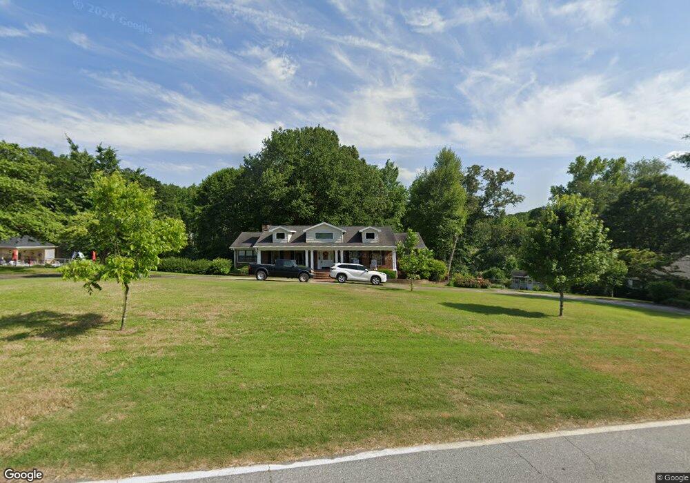
497 Sam Brown Blvd Commerce, GA 30529
Estimated Value: $380,350 - $496,000
Studio
2
Baths
2,443
Sq Ft
$182/Sq Ft
Est. Value
About This Home
This home is located at 497 Sam Brown Blvd, Commerce, GA 30529 and is currently estimated at $445,088, approximately $182 per square foot. 497 Sam Brown Blvd is a home located in Jackson County with nearby schools including Commerce Primary School, Commerce Elementary School, and Commerce Middle School.
Ownership History
Date
Name
Owned For
Owner Type
Purchase Details
Closed on
Aug 9, 2024
Sold by
Rhoads Ann
Bought by
Rhoads Ann and Rhoads Michael D
Current Estimated Value
Purchase Details
Closed on
Jul 16, 2008
Sold by
Rhoads Mike
Bought by
Rhoads Ann
Purchase Details
Closed on
Nov 1, 2001
Sold by
Rhodes Michael D
Bought by
Rhoads Michael D
Create a Home Valuation Report for This Property
The Home Valuation Report is an in-depth analysis detailing your home's value as well as a comparison with similar homes in the area
Home Values in the Area
Average Home Value in this Area
Purchase History
| Date | Buyer | Sale Price | Title Company |
|---|---|---|---|
| Rhoads Ann | -- | -- | |
| Rhoads Ann | -- | -- | |
| Rhoads Michael D | -- | -- |
Source: Public Records
Tax History
| Year | Tax Paid | Tax Assessment Tax Assessment Total Assessment is a certain percentage of the fair market value that is determined by local assessors to be the total taxable value of land and additions on the property. | Land | Improvement |
|---|---|---|---|---|
| 2024 | $3,069 | $159,528 | $23,680 | $135,848 |
| 2023 | $3,587 | $103,808 | $23,680 | $80,128 |
| 2022 | $1,521 | $76,448 | $13,800 | $62,648 |
| 2021 | $1,506 | $76,448 | $13,800 | $62,648 |
| 2020 | $1,321 | $66,288 | $13,800 | $52,488 |
| 2019 | $1,346 | $66,288 | $13,800 | $52,488 |
| 2018 | $1,253 | $63,840 | $13,800 | $50,040 |
| 2017 | $1,165 | $60,957 | $13,835 | $47,122 |
| 2016 | $1,107 | $59,159 | $12,037 | $47,122 |
| 2015 | $2,004 | $59,159 | $12,037 | $47,122 |
| 2014 | $1,541 | $46,671 | $12,037 | $34,634 |
| 2013 | -- | $43,677 | $11,344 | $32,332 |
Source: Public Records
Map
Nearby Homes
- 208 Piedmont St
- 994 Lakeview Dr
- 172 Scott St
- 80 Overlook Trace
- 1029 S Elm St
- 64 College Ave
- 246 Spring St
- 1050 Waterworks Rd
- 173 Williford St
- 184 Ashford Ln
- 67 Cotton St
- 174 Cherry St
- 270 Victoria St
- 173 Madison St
- 161 Cotton St
- 406 Shankle Rd
- 192 Nunn St
- 94 Hillcrest St
- 36 Wildcat Ln
- 2140 N Broad St
- 469 Sam Brown Blvd
- 531 Sam Brown Blvd
- 504 Sam Brown Blvd
- 504 Piedmont St
- 536 Piedmont St
- 437 Sam Brown Blvd
- 526 Piedmont St
- 480 Sam Brown Blvd
- 539 Sam Brown Blvd
- 542 Sam Brown Blvd
- 27 Millwood Dr
- 0 Millwood Dr Unit 8390928
- 458 Sam Brown Blvd
- 79 Millwood Dr
- 424 Sam Brown Blvd
- 103 Millwood Dr
- 395 Sam Brown Blvd
- 56 Millwood Dr
- 410 Sam Brown Blvd
- 507 Scott St
Your Personal Tour Guide
Ask me questions while you tour the home.