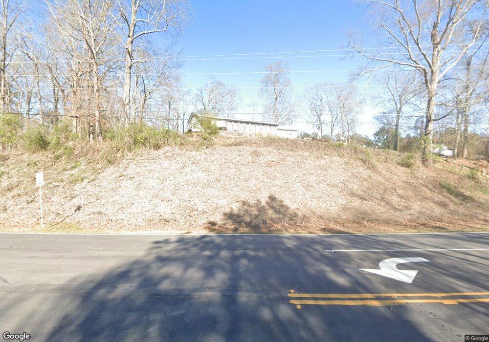
4970 Derrick Rd Atlanta, GA 30349
Estimated Value: $237,000 - $283,000
3
Beds
3
Baths
1,397
Sq Ft
$181/Sq Ft
Est. Value
About This Home
This home is located at 4970 Derrick Rd, Atlanta, GA 30349 and is currently estimated at $252,775, approximately $180 per square foot. 4970 Derrick Rd is a home located in Fulton County with nearby schools including Wolf Creek Elementary, Renaissance Middle School, and Langston Hughes High School.
Ownership History
Date
Name
Owned For
Owner Type
Purchase Details
Closed on
Oct 11, 2000
Sold by
Friscia Faralynn
Bought by
Zappa Joseph M
Current Estimated Value
Purchase Details
Closed on
Mar 19, 1998
Sold by
Angel Shannon G and Angel Jose L
Bought by
Acostas Alfredo
Purchase Details
Closed on
Oct 29, 1993
Sold by
Richmond W C Rebecca
Bought by
Angel Jose L Shannon G
Home Financials for this Owner
Home Financials are based on the most recent Mortgage that was taken out on this home.
Original Mortgage
$29,973
Interest Rate
6.97%
Create a Home Valuation Report for This Property
The Home Valuation Report is an in-depth analysis detailing your home's value as well as a comparison with similar homes in the area
Home Values in the Area
Average Home Value in this Area
Purchase History
| Date | Buyer | Sale Price | Title Company |
|---|---|---|---|
| Zappa Joseph M | -- | -- | |
| Acostas Alfredo | $33,000 | -- | |
| Angel Jose L Shannon G | $30,000 | -- |
Source: Public Records
Mortgage History
| Date | Status | Borrower | Loan Amount |
|---|---|---|---|
| Previous Owner | Angel Jose L Shannon G | $29,973 |
Source: Public Records
Tax History Compared to Growth
Tax History
| Year | Tax Paid | Tax Assessment Tax Assessment Total Assessment is a certain percentage of the fair market value that is determined by local assessors to be the total taxable value of land and additions on the property. | Land | Improvement |
|---|---|---|---|---|
| 2025 | $6 | $74,200 | $15,280 | $58,920 |
| 2023 | $2,171 | $76,920 | $13,960 | $62,960 |
| 2022 | $460 | $46,920 | $6,360 | $40,560 |
| 2021 | $407 | $33,440 | $6,160 | $27,280 |
| 2020 | $373 | $28,920 | $3,320 | $25,600 |
| 2019 | $366 | $28,920 | $3,320 | $25,600 |
| 2018 | $349 | $28,920 | $3,320 | $25,600 |
| 2017 | $364 | $21,320 | $7,480 | $13,840 |
| 2016 | $362 | $21,320 | $7,480 | $13,840 |
| 2015 | $364 | $21,320 | $7,480 | $13,840 |
| 2014 | $302 | $18,000 | $7,880 | $10,120 |
Source: Public Records
Map
Nearby Homes
- 474 Boxelder Rd
- 4915 Lower Elm St
- 5018 Upper Elm St
- 5092 Derrick Rd
- 5090 Derrick Rd
- 5124 Lower Elm St
- 5095 Lower Elm St
- 546 Jadetree Ln
- 5945 Raventree Ct
- 6540 Muirfield Point
- 6608 Oak Hill Pass
- 5150 Amberland Square
- 1005 Belfry Terrace
- 5730 Koweta Rd
- 809 Belfry Terrace
- 5212 Rosewood Place Unit 2
- 5212 Rosewood Place
- 2075 Ivy Ln
- 2435 Vine St
- 4990 Derrick Rd
- 4979 Upper Elm St
- 5005 Derrick Rd
- 454 Boxelder Rd
- 458 Boxelder Rd
- 4983 Upper Elm St Unit 85
- 4983 Upper Elm St
- 450 Boxelder Rd
- 4956 Lower Elm St Unit 20
- 4954 Lower Elm St
- 4954 Lower Elm St
- 4954 Lower Elm St Unit 19
- 4952 Lower Elm St
- 4952 Lower Elm St Unit 18
- 4948 Lower Elm St Unit 16
- 4950 Lower Elm St
- 4950 Lower Elm St Unit 17
- 462 Boxelder Rd
- 4946 Lower Elm St Unit 15