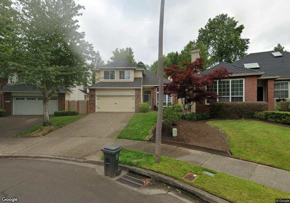
4971 Bilford Ln Lake Oswego, OR 97035
Westlake NeighborhoodEstimated Value: $902,588 - $1,149,000
3
Beds
3
Baths
2,263
Sq Ft
$446/Sq Ft
Est. Value
About This Home
This home is located at 4971 Bilford Ln, Lake Oswego, OR 97035 and is currently estimated at $1,009,647, approximately $446 per square foot. 4971 Bilford Ln is a home located in Clackamas County with nearby schools including Lake Grove Elementary School, Lake Oswego Junior High School, and Lake Oswego Senior High School.
Ownership History
Date
Name
Owned For
Owner Type
Purchase Details
Closed on
Sep 13, 2010
Sold by
Varni Anthony B
Bought by
Lamb Timothy Alan
Current Estimated Value
Purchase Details
Closed on
Nov 14, 2001
Sold by
Varni Anthony B and Varni Marlene M
Bought by
Lamb Timothy Alan
Home Financials for this Owner
Home Financials are based on the most recent Mortgage that was taken out on this home.
Original Mortgage
$150,000
Interest Rate
6.06%
Purchase Details
Closed on
Oct 4, 2000
Sold by
Varni Anthony B and Varni Marlene M
Bought by
Varni Anthony B and Varni Marlene M
Create a Home Valuation Report for This Property
The Home Valuation Report is an in-depth analysis detailing your home's value as well as a comparison with similar homes in the area
Home Values in the Area
Average Home Value in this Area
Purchase History
| Date | Buyer | Sale Price | Title Company |
|---|---|---|---|
| Lamb Timothy Alan | -- | Fidelity National Title Co | |
| Lamb Timothy Alan | $335,000 | Fidelity National Title Co | |
| Varni Anthony B | -- | Oregon Title Insurance Co |
Source: Public Records
Mortgage History
| Date | Status | Borrower | Loan Amount |
|---|---|---|---|
| Previous Owner | Lamb Timothy Alan | $150,000 |
Source: Public Records
Tax History Compared to Growth
Tax History
| Year | Tax Paid | Tax Assessment Tax Assessment Total Assessment is a certain percentage of the fair market value that is determined by local assessors to be the total taxable value of land and additions on the property. | Land | Improvement |
|---|---|---|---|---|
| 2025 | $8,998 | $468,539 | -- | -- |
| 2024 | $8,758 | $454,893 | -- | -- |
| 2023 | $8,758 | $441,644 | $0 | $0 |
| 2022 | $8,248 | $428,781 | $0 | $0 |
| 2021 | $7,618 | $416,293 | $0 | $0 |
| 2020 | $7,427 | $404,168 | $0 | $0 |
| 2019 | $7,244 | $392,397 | $0 | $0 |
| 2018 | $6,889 | $380,968 | $0 | $0 |
| 2017 | $6,647 | $369,872 | $0 | $0 |
| 2016 | $6,052 | $359,099 | $0 | $0 |
| 2015 | $5,847 | $348,640 | $0 | $0 |
| 2014 | $5,771 | $338,485 | $0 | $0 |
Source: Public Records
Map
Nearby Homes
- 4674 Chelsea Ln
- 5094 Denton Dr
- 4735 Amherst Ct
- 4300 Orchard Way
- 4355 Silver Ct
- 4451 Golden Ln
- 14488 Pfeifer Dr
- 86 SW Kingsgate Unit 22
- 4463 Thunder Vista Ln
- 4459 Thunder Vista Ln
- 4455 Thunder Vista Ln
- 4437 Thunder Vista Ln
- 3990 Carman Dr
- 5185 Carman Dr
- 4963 Suntree Ln
- 3853 Carman Dr
- 14417 Orchard Springs Rd
- 5093 Galen St
- 15601 Manchester Dr
- 5437 Rosalia Way
- 4975 Bilford Ln
- 4967 Bilford Ln
- 4979 Bilford Ln
- 4963 Bilford Ln
- 4836 Hastings Dr
- 4824 Hastings Dr
- 4959 Bilford Ln Unit 1
- 4959 Bilford Ln
- 4848 Hastings Dr
- 14013 Edenberry Ct
- 4987 Bilford Ln
- 4812 Hastings Dr
- 4972 Bilford Ln
- 4962 Bilford Ln
- 4955 Bilford Ln
- 14021 Edenberry Ct
- 14265 Camden Ln
- 14009 Edenberry Ct
- 4991 Bilford Ln
- 4800 Hastings Dr