4974 Highway 255 S Cleveland, GA 30528
Estimated Value: $472,000 - $851,000
3
Beds
2
Baths
2,338
Sq Ft
$267/Sq Ft
Est. Value
About This Home
This home is located at 4974 Highway 255 S, Cleveland, GA 30528 and is currently estimated at $624,684, approximately $267 per square foot. 4974 Highway 255 S is a home located in White County with nearby schools including Mount Yonah Elementary School, White County 9th Grade Academy, and White County Middle School.
Ownership History
Date
Name
Owned For
Owner Type
Purchase Details
Closed on
Apr 25, 2024
Sold by
Brown David E
Bought by
Brown David E and Brown Dorothy H
Current Estimated Value
Purchase Details
Closed on
Nov 1, 2007
Sold by
Not Provided
Bought by
Brown David E and Brown Dorothy H
Purchase Details
Closed on
Sep 1, 2006
Sold by
Not Provided
Bought by
Brown David E and Brown Dorothy H
Home Financials for this Owner
Home Financials are based on the most recent Mortgage that was taken out on this home.
Original Mortgage
$340,000
Interest Rate
6.52%
Mortgage Type
New Conventional
Create a Home Valuation Report for This Property
The Home Valuation Report is an in-depth analysis detailing your home's value as well as a comparison with similar homes in the area
Home Values in the Area
Average Home Value in this Area
Purchase History
| Date | Buyer | Sale Price | Title Company |
|---|---|---|---|
| Brown David E | -- | -- | |
| Brown David E | $420,000 | -- | |
| Brown David E | $390,000 | -- |
Source: Public Records
Mortgage History
| Date | Status | Borrower | Loan Amount |
|---|---|---|---|
| Previous Owner | Brown David E | $340,000 |
Source: Public Records
Tax History Compared to Growth
Tax History
| Year | Tax Paid | Tax Assessment Tax Assessment Total Assessment is a certain percentage of the fair market value that is determined by local assessors to be the total taxable value of land and additions on the property. | Land | Improvement |
|---|---|---|---|---|
| 2024 | $2,164 | $193,192 | $39,484 | $153,708 |
| 2023 | $1,711 | $177,532 | $35,100 | $142,432 |
| 2022 | $1,875 | $155,776 | $30,712 | $125,064 |
| 2021 | $1,663 | $127,956 | $29,804 | $98,152 |
| 2020 | $1,529 | $121,856 | $27,672 | $94,184 |
| 2019 | $1,531 | $121,856 | $27,672 | $94,184 |
| 2018 | $1,441 | $118,672 | $27,672 | $91,000 |
| 2017 | $2,863 | $114,132 | $27,672 | $86,460 |
| 2016 | $2,864 | $114,132 | $27,672 | $86,460 |
| 2015 | $2,723 | $284,780 | $27,672 | $86,240 |
| 2014 | $2,628 | $275,790 | $0 | $0 |
Source: Public Records
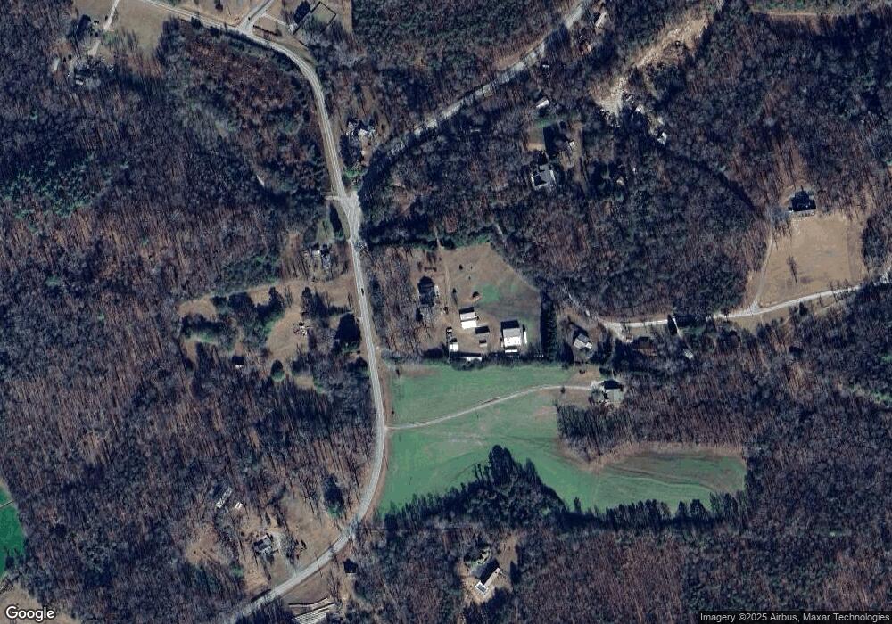
Map
Nearby Homes
- 67 Rainbow Cir
- 125 Rainbow Cir
- 125 AND 87 Rainbow Cir
- 2123 Goat Neck Rd
- 0 Amys Ford Trail Unit 10542887
- 474 White Pine Cir
- 922 Amys Ford Trail
- 239 Cool Springs Lot #8 Rd
- 2798 Riverbend Rd
- 360 Sandra Ln
- 1200 Roy Powers Rd
- 125 Sang Springs Trail
- 305 Cool Springs Rd
- 0 Cool Springs Lot #8 Rd Unit 10603895
- 69 Blue Creek Cove
- 0 Alfred Taylor Rd Unit LOT 5 10447910
- 811 Merck Rd
- 0 River Forest Run Unit 10615697
- 0 River Forest Run Unit 10595356
- 0 River Forest Run Unit 10586074
- 206 Stone Hedge Dr Unit 1
- 206 Stone Hedge Dr
- 0 Highway 255 Stonehedge Unit 7022167
- 0 Highway 255 Stonehedge Unit 7290683
- 4918 Highway 255 S
- 244 Stone Hedge Dr Unit 2
- 244 Stone Hedge Dr
- 0 Stonehedge Dr Unit 8969397
- 5074 Highway 255 S
- 22 Catnip Dr
- 0 Highway 255 S Unit 8332326
- 0 Highway 255 S Unit 8644610
- 0 Highway 255 S
- 5049 Highway 255 S
- 14 Goat Neck Rd Unit 14&15B
- 280 Stone Hedge Dr
- 5073 Highway 255 S
- 4845 Highway 255 S
- 5210 Highway 255 S
- 5210 Highway 255 S