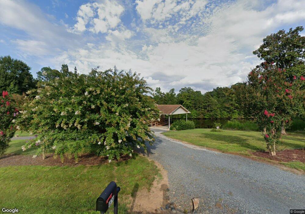
49746 Rider Rd Richfield, NC 28137
Estimated Value: $238,000 - $266,573
2
Beds
1
Bath
1,008
Sq Ft
$252/Sq Ft
Est. Value
About This Home
This home is located at 49746 Rider Rd, Richfield, NC 28137 and is currently estimated at $254,191, approximately $252 per square foot. 49746 Rider Rd is a home located in Stanly County with nearby schools including Richfield Elementary School, North Stanly Middle School, and North Stanly High School.
Ownership History
Date
Name
Owned For
Owner Type
Purchase Details
Closed on
Dec 20, 2018
Sold by
Grigg Yolanda and Grigg Donna
Bought by
Grigg Donna and Grigg Mark
Current Estimated Value
Purchase Details
Closed on
Oct 3, 2016
Sold by
Grigg Robert and Grigg Yolanda
Bought by
Grigg Yolanda and Grigg Donna
Purchase Details
Closed on
Sep 30, 2016
Sold by
Grigg Mark
Bought by
Grigg Robert and Grigg Yolanda
Purchase Details
Closed on
Sep 21, 2016
Sold by
Grigg Donna
Bought by
Grigg Robert and Grigg Yolanda
Purchase Details
Closed on
Oct 21, 2015
Sold by
Grigg Robert and Grigg Yolanda
Bought by
Grigg Donna and Grigg Mark
Purchase Details
Closed on
Nov 13, 2008
Sold by
Grigg Robert and Grigg Yolanda
Bought by
Grigg Donna and Grigg Mark K
Create a Home Valuation Report for This Property
The Home Valuation Report is an in-depth analysis detailing your home's value as well as a comparison with similar homes in the area
Home Values in the Area
Average Home Value in this Area
Purchase History
| Date | Buyer | Sale Price | Title Company |
|---|---|---|---|
| Grigg Donna | -- | None Available | |
| Grigg Yolanda | -- | Attorney | |
| Grigg Robert | -- | Attorney | |
| Grigg Robert | -- | Attorney | |
| Grigg Donna | -- | Attorney | |
| Grigg Donna | -- | None Available |
Source: Public Records
Tax History Compared to Growth
Tax History
| Year | Tax Paid | Tax Assessment Tax Assessment Total Assessment is a certain percentage of the fair market value that is determined by local assessors to be the total taxable value of land and additions on the property. | Land | Improvement |
|---|---|---|---|---|
| 2025 | $1,254 | $205,506 | $119,986 | $85,520 |
| 2024 | $1,095 | $154,263 | $75,207 | $79,056 |
| 2023 | $1,146 | $154,263 | $75,207 | $79,056 |
| 2022 | $1,146 | $154,263 | $75,207 | $79,056 |
| 2021 | $1,144 | $154,263 | $75,207 | $79,056 |
| 2020 | $1,077 | $134,836 | $68,077 | $66,759 |
| 2019 | $1,083 | $134,836 | $68,077 | $66,759 |
| 2018 | $998 | $134,836 | $68,077 | $66,759 |
| 2017 | $998 | $134,836 | $68,077 | $66,759 |
| 2016 | $956 | $129,145 | $63,511 | $65,634 |
| 2015 | $1,036 | $129,145 | $63,511 | $65,634 |
| 2014 | $974 | $129,145 | $63,511 | $65,634 |
Source: Public Records
Map
Nearby Homes
- 02 State Highway 49
- 319 Nc Hwy 49 S
- 0 Reeves Island Rd
- 0 Wagoner Rd
- 120 Williams Store Rd
- 310 Stoneyard Rd
- 307 Nc Hwy 49 S
- 307 Stoneyard Rd
- 44389 U S 52
- 44434 U S 52
- 48708 U S 52
- 0 River Rd
- 44401 U S 52
- 29746 Tiffany Woods Rd
- 31655 Pinewood Dr
- 42765 Caudle Rd
- 00 Herlocker Rd
- 0 Woody Way Unit CAR4284179
- 00 N Carolina 740
- 232 E Gold St
- 49721 Rider Rd
- 48374 Gold Branch Rd
- 49828 Rider Rd
- 49645 Rider Rd
- 48422 Gold Branch Rd
- 0 Gold Branch Rd
- 00 Gold Branch Rd
- 48363 Gold Branch Rd
- 48574 High Rock Rd
- 48574 High Rock Rd
- 48412 High Rock Rd
- 48405 Gold Branch Rd
- 48498 High Rock Rd
- 48441 Gold Branch Rd
- 48429 Gold Branch Rd
- 48347 Gold Branch Rd
- 48442 High Rock Rd
- 49371 Parker Memorial Rd
- 49305 Parker Memorial Rd
- 48475 Gold Branch Rd