Estimated Value: $106,000 - $204,000
--
Bed
--
Bath
--
Sq Ft
8,276
Sq Ft Lot
About This Home
This home is located at 4975 Alabama Hwy SW Unit A, Rome, GA 30165 and is currently estimated at $166,333. 4975 Alabama Hwy SW Unit A is a home located in Floyd County with nearby schools including Coosa Middle School and Coosa High School.
Ownership History
Date
Name
Owned For
Owner Type
Purchase Details
Closed on
Jul 2, 1986
Sold by
Welch S G
Bought by
Welch Loida Faye
Current Estimated Value
Purchase Details
Closed on
Jan 28, 1970
Sold by
P\R
Bought by
Welch S G
Purchase Details
Closed on
Aug 11, 1967
Sold by
Welch Faye
Bought by
P\R
Purchase Details
Closed on
May 15, 1967
Sold by
Grigsby John D and Grigsby Storey R
Bought by
Welch Faye
Purchase Details
Closed on
Nov 27, 1965
Sold by
Green J M
Bought by
Grigsby John D and Grigsby Storey R
Purchase Details
Closed on
May 31, 1963
Sold by
Mathis Bernard O
Bought by
Green J M
Purchase Details
Closed on
Jan 1, 1901
Bought by
Mathis Bernard O
Create a Home Valuation Report for This Property
The Home Valuation Report is an in-depth analysis detailing your home's value as well as a comparison with similar homes in the area
Home Values in the Area
Average Home Value in this Area
Purchase History
| Date | Buyer | Sale Price | Title Company |
|---|---|---|---|
| Welch Loida Faye | -- | -- | |
| Welch S G | -- | -- | |
| P\R | -- | -- | |
| Welch Faye | $600 | -- | |
| Grigsby John D | -- | -- | |
| Green J M | -- | -- | |
| Mathis Bernard O | -- | -- |
Source: Public Records
Tax History Compared to Growth
Tax History
| Year | Tax Paid | Tax Assessment Tax Assessment Total Assessment is a certain percentage of the fair market value that is determined by local assessors to be the total taxable value of land and additions on the property. | Land | Improvement |
|---|---|---|---|---|
| 2024 | $42 | $1,338 | $1,338 | $0 |
| 2023 | $38 | $1,217 | $1,217 | $0 |
| 2022 | $30 | $1,014 | $1,014 | $0 |
| 2021 | $31 | $1,014 | $1,014 | $0 |
| 2020 | $25 | $811 | $811 | $0 |
| 2019 | $24 | $811 | $811 | $0 |
| 2018 | $24 | $811 | $811 | $0 |
| 2017 | $24 | $811 | $811 | $0 |
| 2016 | $24 | $800 | $800 | $0 |
| 2015 | $24 | $800 | $800 | $0 |
| 2014 | $24 | $800 | $800 | $0 |
Source: Public Records
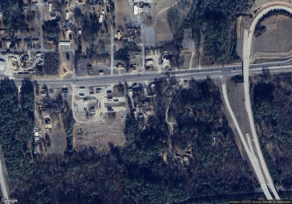
Map
Nearby Homes
- 43 Brownlow Dr NW
- 4813 Alabama Hwy SW
- 0 Alabama Hwy Unit 10590171
- 0 Alabama Hwy Unit 7635346
- 0 Alabama Hwy Unit 7494552
- 33 Cedar Ln NW
- 31 Cedar Ln NW
- 10 Nest Dr NW
- 48 Atwood Dr NW
- 4485 Alabama Hwy
- 5 Red Fox Dr SW
- 8 Kayla Dr NW
- 775 Mays Bridge Rd SW
- 26 Red Fox Dr SW
- 1 Ann Dr NW
- 36 Stargazer Trail NW
- 458 Kraftsman Rd SW
- 293 N Avery Rd NW
- 45 Albert Ave NW
- 86 N Avery Rd NW
- 4975 Alabama Hwy SW Unit A
- 4975 Alabama Hwy SW Unit A
- 4975 Alabama Hwy SW Unit A
- 4975 Alabama Hwy SW Unit A
- 5005 Alabama Hwy SW
- 2 Brownlow Dr NW
- 4961 Alabama Hwy SW
- 41 Harold Dr SW
- 5032 Alabama Hwy
- 33 Harold Dr SW
- 33 Harold Dr SW
- 4954 Alabama Hwy NW
- 17 2nd Coosa St SW
- 102 Brownlow Dr NW
- 0 Brownlow Dr NW
- 46 Brownlow Dr NW
- 40 Eagle Dr NW
- 10 Eagle Dr NW
- 4879 Alabama Hwy SW
- 0 Martin Rd NW