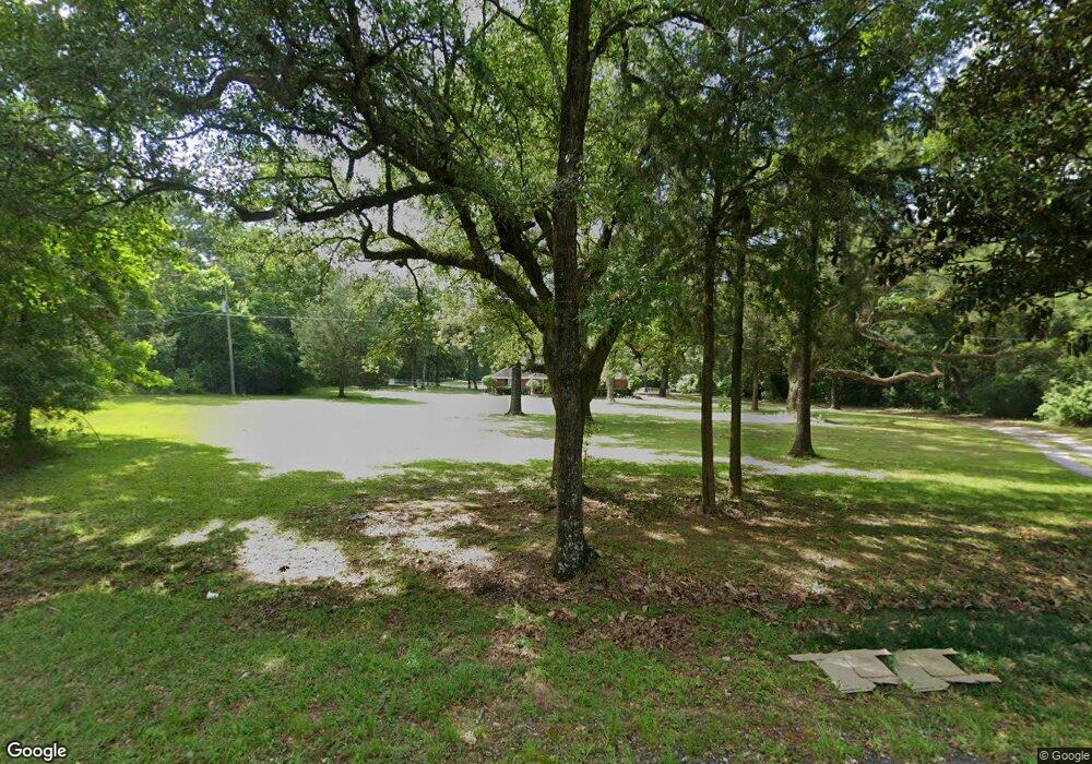
4975 Dawes Rd Theodore, AL 36582
Dawes NeighborhoodEstimated Value: $317,000 - $383,000
3
Beds
3
Baths
2,289
Sq Ft
$155/Sq Ft
Est. Value
About This Home
This home is located at 4975 Dawes Rd, Theodore, AL 36582 and is currently estimated at $355,054, approximately $155 per square foot. 4975 Dawes Rd is a home located in Mobile County with nearby schools including Meadowlake Elementary School, Katherine H Hankins Middle School, and Theodore High School.
Ownership History
Date
Name
Owned For
Owner Type
Purchase Details
Closed on
Sep 30, 2025
Sold by
Morgan Michael Wayne and Morgan Julie Ann
Bought by
Webber Steven Scott and Webber Kenzie
Current Estimated Value
Home Financials for this Owner
Home Financials are based on the most recent Mortgage that was taken out on this home.
Original Mortgage
$208,000
Outstanding Balance
$208,000
Interest Rate
6.58%
Mortgage Type
New Conventional
Estimated Equity
$147,054
Purchase Details
Closed on
May 25, 2005
Sold by
Sanders Evelyn Louise
Bought by
Morgan Michael Wayne
Purchase Details
Closed on
Jan 29, 2003
Sold by
March Woodie I and March Jan C
Bought by
Morgan Michael Wayne and Morgan Julie Ann
Create a Home Valuation Report for This Property
The Home Valuation Report is an in-depth analysis detailing your home's value as well as a comparison with similar homes in the area
Home Values in the Area
Average Home Value in this Area
Purchase History
| Date | Buyer | Sale Price | Title Company |
|---|---|---|---|
| Webber Steven Scott | $260,000 | Delta South Title Inc | |
| Morgan Michael Wayne | -- | -- | |
| Morgan Michael Wayne | -- | -- |
Source: Public Records
Mortgage History
| Date | Status | Borrower | Loan Amount |
|---|---|---|---|
| Open | Webber Steven Scott | $208,000 |
Source: Public Records
Tax History Compared to Growth
Tax History
| Year | Tax Paid | Tax Assessment Tax Assessment Total Assessment is a certain percentage of the fair market value that is determined by local assessors to be the total taxable value of land and additions on the property. | Land | Improvement |
|---|---|---|---|---|
| 2024 | $2,967 | $30,590 | $8,460 | $22,130 |
| 2023 | $3,087 | $27,640 | $7,230 | $20,410 |
| 2022 | $1,286 | $27,870 | $7,230 | $20,640 |
| 2021 | $1,206 | $26,220 | $7,830 | $18,390 |
| 2020 | $1,218 | $26,480 | $7,830 | $18,650 |
| 2019 | $1,109 | $24,230 | $7,830 | $16,400 |
| 2018 | $1,127 | $24,620 | $0 | $0 |
| 2017 | $1,146 | $25,000 | $0 | $0 |
| 2016 | $1,163 | $25,360 | $0 | $0 |
| 2013 | $1,071 | $24,220 | $0 | $0 |
Source: Public Records
Map
Nearby Homes
- 0 Wear Rd
- 0 Wear Rd Unit 7583928
- 5181 Southern Oaks Trail
- 0 McCovery Rd
- 10124 Crossley Hill Dr
- 9501 Ben Hamilton Rd
- 00 Dawes Rd
- 4256 Baird Coxwell Rd
- 0 Ben Hamilton Rd Unit 7628509
- 4236 Baird Coxwell Rd
- 4246 Baird Coxwell Rd
- 4236 Baird Coxwell Rd
- 4226 Baird Coxwell Rd
- 10735 Mcleod Rd
- 5269 Dawes Rd
- 9358 Mcleod Rd
- 5561 Hannah Ct
- 0 Dawes Creek Dr Unit 7673330
- 10769 Mcleod Rd
- 9451 Sir Brutus Run
- 4995 Dawes Rd
- 4925 Dawes Rd
- 5005 Dawes Rd
- 5000 Dawes Rd
- 5015 Dawes Rd
- 5012 Dawes Rd
- 4990 Dawes Rd
- 5025 Dawes Rd
- 5030 Dawes Rd Unit 2
- 0 Dawes Rd Unit 7417172
- 0 Dawes Rd Unit 7338036
- 0 Dawes Rd Unit 7110017
- 0 Dawes Rd Unit 322007
- 0 Dawes Rd Unit 659313
- 0 Dawes Rd Unit 638278
- 0 Dawes Rd Unit 652054
- 5151 Wear Rd
- 5153 Wear Rd
- 5211 Wear Rd
- 5231 Wear Rd
