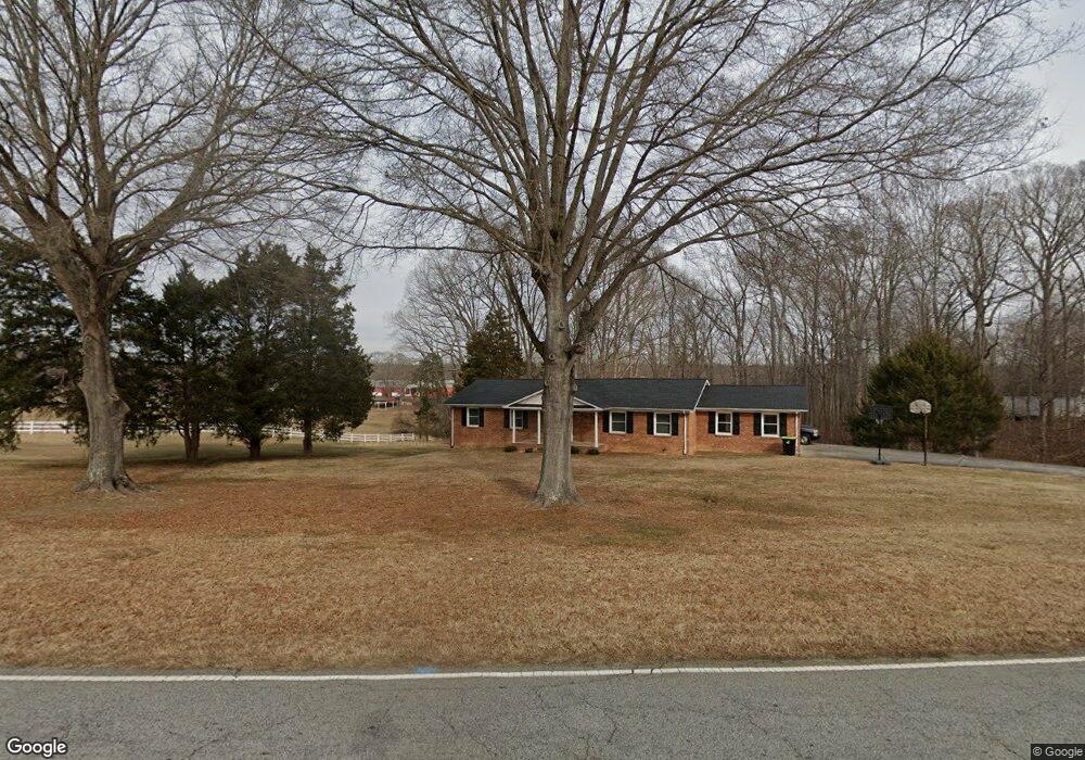
4975 Hampton Rd Clemmons, NC 27012
Estimated Value: $329,000 - $375,000
6
Beds
4
Baths
3,480
Sq Ft
$100/Sq Ft
Est. Value
About This Home
This home is located at 4975 Hampton Rd, Clemmons, NC 27012 and is currently estimated at $349,375, approximately $100 per square foot. 4975 Hampton Rd is a home located in Forsyth County with nearby schools including Clemmons Elementary School, Clemmons Middle School, and West Forsyth High.
Ownership History
Date
Name
Owned For
Owner Type
Purchase Details
Closed on
Jul 9, 2024
Sold by
Dull Louie Edward and Stanley Morgan Dull
Bought by
Stanley Hunter Edward
Current Estimated Value
Purchase Details
Closed on
Jul 22, 2009
Sold by
Dull Melissa L
Bought by
Dull Louie E
Home Financials for this Owner
Home Financials are based on the most recent Mortgage that was taken out on this home.
Original Mortgage
$51,000
Interest Rate
5.37%
Mortgage Type
New Conventional
Create a Home Valuation Report for This Property
The Home Valuation Report is an in-depth analysis detailing your home's value as well as a comparison with similar homes in the area
Purchase History
| Date | Buyer | Sale Price | Title Company |
|---|---|---|---|
| Stanley Hunter Edward | $71,000 | None Listed On Document | |
| Stanley Hunter Edward | $71,000 | None Listed On Document | |
| Dull Louie E | -- | Accommodation |
Source: Public Records
Mortgage History
| Date | Status | Borrower | Loan Amount |
|---|---|---|---|
| Previous Owner | Dull Louie E | $51,000 |
Source: Public Records
Tax History
| Year | Tax Paid | Tax Assessment Tax Assessment Total Assessment is a certain percentage of the fair market value that is determined by local assessors to be the total taxable value of land and additions on the property. | Land | Improvement |
|---|---|---|---|---|
| 2025 | $1,493 | $314,400 | $110,100 | $204,300 |
| 2024 | $1,454 | $196,000 | $83,000 | $113,000 |
| 2023 | $1,454 | $196,000 | $83,000 | $113,000 |
| 2022 | $1,454 | $196,000 | $83,000 | $113,000 |
| 2021 | $1,454 | $196,000 | $83,000 | $113,000 |
| 2020 | $1,443 | $178,000 | $70,300 | $107,700 |
| 2019 | $1,461 | $178,000 | $70,300 | $107,700 |
| 2018 | $1,401 | $178,000 | $70,300 | $107,700 |
| 2016 | $1,393 | $176,057 | $67,906 | $108,151 |
Source: Public Records
Map
Nearby Homes
- 925 Salem Glen Ct
- 2017 Muirfield Place
- 6030 Bobbybrook Dr
- 102 Salem Village Ct
- 0 Frye Bridge Rd Unit 1202070
- 5269 Sunny Brook Ct
- 205 Alex Hayes Rd
- 5220 Bridge Pointe Dr
- 5229 Bridge Pointe Dr
- 6021 Stone Bluff Dr
- 6033 Stone Bluff Dr
- 6045 Stone Bluff Dr
- 6168 Sunny Brook Dr
- 6231 Queens Gate Ct
- 6279 Queens Gate Ct
- 245 Centenary Ridge Dr
- 5920 Loop Rd
- 3010 Deercroft Ln
- 405 Meadowfield Run
- 6284 Finch Meadow Ct
- 4803 Hampton Oak Ct
- 4995 Hampton Rd
- 4802 Hampton Oak Ct
- 4994 Hampton Rd
- 4818 Hampton Oak Ct
- 4831 Hampton Oak Ct
- 4830 Hampton Oak Ct
- 4801 Bent Ridge Ln
- 4844 Hampton Oak Ct
- 4859 Hampton Oak Ct
- 4858 Hampton Oak Ct
- 4810 Bent Ridge Ln
- 4800 Bent Ridge Ln
- 4872 Hampton Oak Ct
- 4873 Hampton Oak Ct
- 4886 Hampton Oak Ct
- 4924 Hampton Rd
- 4921 Hampton Rd
- 5098 Hampton Rd
- 5081 Hampton Rd
Your Personal Tour Guide
Ask me questions while you tour the home.