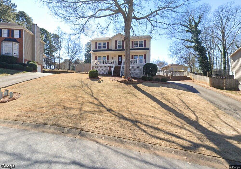
4975 Shallow Ridge Rd NE Unit 2 Kennesaw, GA 30144
Estimated Value: $389,000 - $460,000
3
Beds
3
Baths
1,916
Sq Ft
$219/Sq Ft
Est. Value
About This Home
This home is located at 4975 Shallow Ridge Rd NE Unit 2, Kennesaw, GA 30144 and is currently estimated at $419,678, approximately $219 per square foot. 4975 Shallow Ridge Rd NE Unit 2 is a home located in Cobb County with nearby schools including Blackwell Elementary School, McCleskey Middle School, and Kell High School.
Ownership History
Date
Name
Owned For
Owner Type
Purchase Details
Closed on
Aug 18, 2006
Sold by
Secretary Of Hud
Bought by
Landry Donald H
Current Estimated Value
Purchase Details
Closed on
Jul 28, 1999
Sold by
Millholland Wayne E
Bought by
Ohara Steven Ray
Home Financials for this Owner
Home Financials are based on the most recent Mortgage that was taken out on this home.
Original Mortgage
$114,950
Interest Rate
7.66%
Mortgage Type
New Conventional
Create a Home Valuation Report for This Property
The Home Valuation Report is an in-depth analysis detailing your home's value as well as a comparison with similar homes in the area
Home Values in the Area
Average Home Value in this Area
Purchase History
| Date | Buyer | Sale Price | Title Company |
|---|---|---|---|
| Landry Donald H | -- | -- | |
| Ohara Steven Ray | $121,000 | -- |
Source: Public Records
Mortgage History
| Date | Status | Borrower | Loan Amount |
|---|---|---|---|
| Previous Owner | Ohara Steven Ray | $114,950 |
Source: Public Records
Tax History Compared to Growth
Tax History
| Year | Tax Paid | Tax Assessment Tax Assessment Total Assessment is a certain percentage of the fair market value that is determined by local assessors to be the total taxable value of land and additions on the property. | Land | Improvement |
|---|---|---|---|---|
| 2024 | $3,307 | $146,908 | $34,000 | $112,908 |
| 2023 | $2,449 | $132,368 | $34,000 | $98,368 |
| 2022 | $3,089 | $135,696 | $20,000 | $115,696 |
| 2021 | $2,322 | $100,660 | $20,000 | $80,660 |
| 2020 | $2,109 | $90,948 | $20,000 | $70,948 |
| 2019 | $1,984 | $85,252 | $20,000 | $65,252 |
| 2018 | $1,984 | $85,252 | $20,000 | $65,252 |
| 2017 | $1,604 | $70,368 | $12,000 | $58,368 |
| 2016 | $1,607 | $70,368 | $12,000 | $58,368 |
| 2015 | $1,383 | $58,780 | $12,000 | $46,780 |
| 2014 | $1,393 | $58,780 | $0 | $0 |
Source: Public Records
Map
Nearby Homes
- 2111 Yorkshire Ct
- 4992 Shallow Ridge Rd NE
- 2108 Yorkshire Ct
- 1816 Yorkshire Dr
- 4904 Shallow Creek Trail NW
- 163 Castleair Ct NE
- 4903 Shallow Creek Trail NW
- 1502 Lake Koinonia Dr
- 414 Delancy Dr
- 221 Ellis Ln
- 510 Cooper Ln
- 209 Ellis Ln
- 4825 Shallow Creek Dr NW
- 4978 Thornwood Cove NW
- 4834 Shallow Creek Dr NW
- 221 Holden Way
- 4973 Shallow Ridge Rd NE
- 4977 Shallow Ridge Rd NE
- 4816R Old Field Dr
- 4816 Old Field Dr NE
- 4814 Old Field Dr NE
- 4818 Old Field Dr NE Unit 2
- 4971 Shallow Ridge Rd NE Unit II
- 4971 Shallow Ridge Rd NE
- 4979 Shallow Ridge Rd NE
- 4976 Shallow Ridge Rd NE Unit 2
- 4974 Shallow Ridge Rd NE Unit 2
- 4812 Old Field Dr NE
- 4820 Old Field Dr NE
- 4820 Old Field Dr NE Unit 186
- 4969 Shallow Ridge Rd NE
- 4980 Shallow Ridge Rd NE
- 4981 Shallow Ridge Rd NE
- 4973 Shallow Ridge Ct NE Unit 2
- 4813 Old Field Dr NE Unit 201
- 4813 Old Field Dr NE