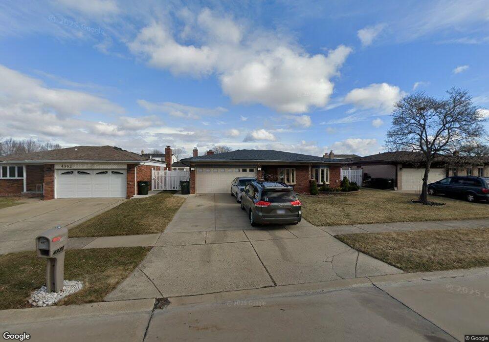
4975 Temple Dr Unit Bldg-Unit Sterling Heights, MI 48310
Estimated Value: $328,000 - $358,000
--
Bed
2
Baths
1,568
Sq Ft
$220/Sq Ft
Est. Value
About This Home
This home is located at 4975 Temple Dr Unit Bldg-Unit, Sterling Heights, MI 48310 and is currently estimated at $345,498, approximately $220 per square foot. 4975 Temple Dr Unit Bldg-Unit is a home located in Macomb County with nearby schools including Jefferson Elementary School, Grissom Middle School, and Sterling Heights Senior H.S..
Ownership History
Date
Name
Owned For
Owner Type
Purchase Details
Closed on
Dec 29, 2017
Sold by
The Joseph P Boland Revocable Trust
Bought by
Butuc Marcel
Current Estimated Value
Home Financials for this Owner
Home Financials are based on the most recent Mortgage that was taken out on this home.
Original Mortgage
$151,000
Outstanding Balance
$127,361
Interest Rate
3.92%
Mortgage Type
New Conventional
Estimated Equity
$218,137
Purchase Details
Closed on
Jun 30, 2015
Sold by
Boland Joseph P and Boland Faye Marie
Bought by
Boland Joseph P and Joseph P Boland Revocable Trust
Create a Home Valuation Report for This Property
The Home Valuation Report is an in-depth analysis detailing your home's value as well as a comparison with similar homes in the area
Home Values in the Area
Average Home Value in this Area
Purchase History
| Date | Buyer | Sale Price | Title Company |
|---|---|---|---|
| Butuc Marcel | $189,000 | None Available | |
| Boland Joseph P | -- | Attorney |
Source: Public Records
Mortgage History
| Date | Status | Borrower | Loan Amount |
|---|---|---|---|
| Open | Butuc Marcel | $151,000 |
Source: Public Records
Tax History Compared to Growth
Tax History
| Year | Tax Paid | Tax Assessment Tax Assessment Total Assessment is a certain percentage of the fair market value that is determined by local assessors to be the total taxable value of land and additions on the property. | Land | Improvement |
|---|---|---|---|---|
| 2025 | $4,999 | $156,000 | $0 | $0 |
| 2024 | $4,822 | $147,000 | $0 | $0 |
| 2023 | $4,577 | $133,100 | $0 | $0 |
| 2022 | $4,439 | $119,300 | $0 | $0 |
| 2021 | $4,588 | $113,100 | $0 | $0 |
| 2020 | $4,361 | $108,800 | $0 | $0 |
| 2019 | $2,999 | $103,200 | $0 | $0 |
| 2018 | $4,294 | $93,800 | $0 | $0 |
| 2017 | $3,064 | $87,800 | $13,900 | $73,900 |
| 2016 | $2,999 | $87,800 | $0 | $0 |
| 2015 | -- | $80,500 | $0 | $0 |
| 2014 | -- | $68,300 | $0 | $0 |
Source: Public Records
Map
Nearby Homes
- 37288 Vernon Dr
- 4761 Fox Hill Dr
- 37683 Adrian Dr
- 37228 Vernon Dr
- 37207 Almont Dr E
- 37129 Almont Dr W
- 37159 Almont Dr E
- 4653 Lucerne Dr
- 4732 Ardmore Dr
- 37258 Carpathia Blvd
- 4325 Fox Hill Dr
- 4622 Ardmore Dr
- 5636 Paris St
- 5556 Noll St
- 38638 Harrison Dr
- 5055 Scarsdale Dr
- 38576 Cottonwood Dr
- 38968 Harrison Dr
- 5024 Bristor Dr
- 38338 Coronation Dr
- 4975 Temple Dr
- 4989 Temple Dr
- 4963 Temple Dr
- 5001 Temple Dr
- 4978 Amherst Dr
- 4990 Amherst Dr
- 4962 Amherst Dr
- 37624 Hacker Dr
- 37610 Hacker Dr
- 37636 Hacker Dr
- 5002 Amherst Dr
- 4972 Temple Dr
- 4984 Temple Dr
- 5013 Temple Dr
- 4998 Temple Dr
- 37650 Hacker Dr Unit Bldg-Unit
- 37650 Hacker Dr
- 4960 Temple Dr
- 5014 Amherst Dr
- 5010 Temple Dr