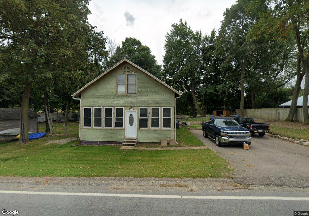
4976 N Branch Rd Benton Harbor, MI 49022
Millburg NeighborhoodEstimated Value: $160,133 - $212,000
2
Beds
2
Baths
1,360
Sq Ft
$132/Sq Ft
Est. Value
About This Home
This home is located at 4976 N Branch Rd, Benton Harbor, MI 49022 and is currently estimated at $180,033, approximately $132 per square foot. 4976 N Branch Rd is a home located in Berrien County with nearby schools including Fair Plain Middle School, Benton Harbor High School, and Grace Christian School.
Ownership History
Date
Name
Owned For
Owner Type
Purchase Details
Closed on
Aug 2, 2021
Sold by
Martin Allen R and Martin Nancy Jo
Bought by
Martin Allen R and Thames Kimberly N
Current Estimated Value
Purchase Details
Closed on
Oct 17, 2001
Purchase Details
Closed on
Nov 11, 1997
Purchase Details
Closed on
Jun 17, 1996
Purchase Details
Closed on
Sep 23, 1991
Purchase Details
Closed on
Dec 28, 1990
Create a Home Valuation Report for This Property
The Home Valuation Report is an in-depth analysis detailing your home's value as well as a comparison with similar homes in the area
Home Values in the Area
Average Home Value in this Area
Purchase History
| Date | Buyer | Sale Price | Title Company |
|---|---|---|---|
| Martin Allen R | -- | None Available | |
| -- | $67,000 | -- | |
| -- | -- | -- | |
| -- | $35,000 | -- | |
| -- | $5,000 | -- | |
| -- | -- | -- |
Source: Public Records
Tax History Compared to Growth
Tax History
| Year | Tax Paid | Tax Assessment Tax Assessment Total Assessment is a certain percentage of the fair market value that is determined by local assessors to be the total taxable value of land and additions on the property. | Land | Improvement |
|---|---|---|---|---|
| 2025 | $680 | $63,700 | $0 | $0 |
| 2024 | $522 | $62,100 | $0 | $0 |
| 2023 | $497 | $54,900 | $0 | $0 |
| 2022 | $474 | $48,800 | $0 | $0 |
| 2021 | $598 | $47,300 | $1,100 | $46,200 |
| 2020 | $590 | $41,700 | $0 | $0 |
| 2019 | $579 | $39,300 | $1,700 | $37,600 |
| 2018 | $571 | $39,300 | $0 | $0 |
| 2017 | $558 | $41,200 | $0 | $0 |
| 2016 | $535 | $36,100 | $0 | $0 |
| 2015 | $537 | $28,000 | $0 | $0 |
| 2014 | $400 | $27,200 | $0 | $0 |
Source: Public Records
Map
Nearby Homes
- 00 Stratton Lot 6 Rd
- 5253 Territorial Rd
- 5310 N Branch Rd
- 1287 Maner Rd
- 4520 Ross Dr
- 4540 Ross Dr
- 5570 Territorial Rd
- 4245 Echo Rd
- 4262 Arrow Wood Curve
- 1370 N Park Rd
- 4172 Pine Wood Dr
- 3547 N Blue Creek Rd
- 1360 Friday Rd
- 6808 Territorial Rd
- 6660 Pine Rd
- 846 N Benton Center Rd
- 1192 N Benton Center Rd
- 1226 N Benton Center Rd
- VL E Napier Ave
- 0 E Napier Ave
- 5006 Northbranch Rd
- 4999 N Branch Rd
- 4938 N Branch Rd
- 4926 N Branch Rd
- 4918 N Branch Rd
- 5040 N Branch Rd
- 4904 N Branch Rd
- 5050 Northbranch Rd
- 4900 N Branch Rd
- 4832 North St
- 4821 North St
- 4925 Territorial Rd
- 4885 Territorial Rd
- 4885 1st St
- 543 2nd St
- 5085 Territorial Rd
- 5085 Territorial Rd
- 4823 Territorial Rd
- 583 3rd St
- 5101 Territorial Rd