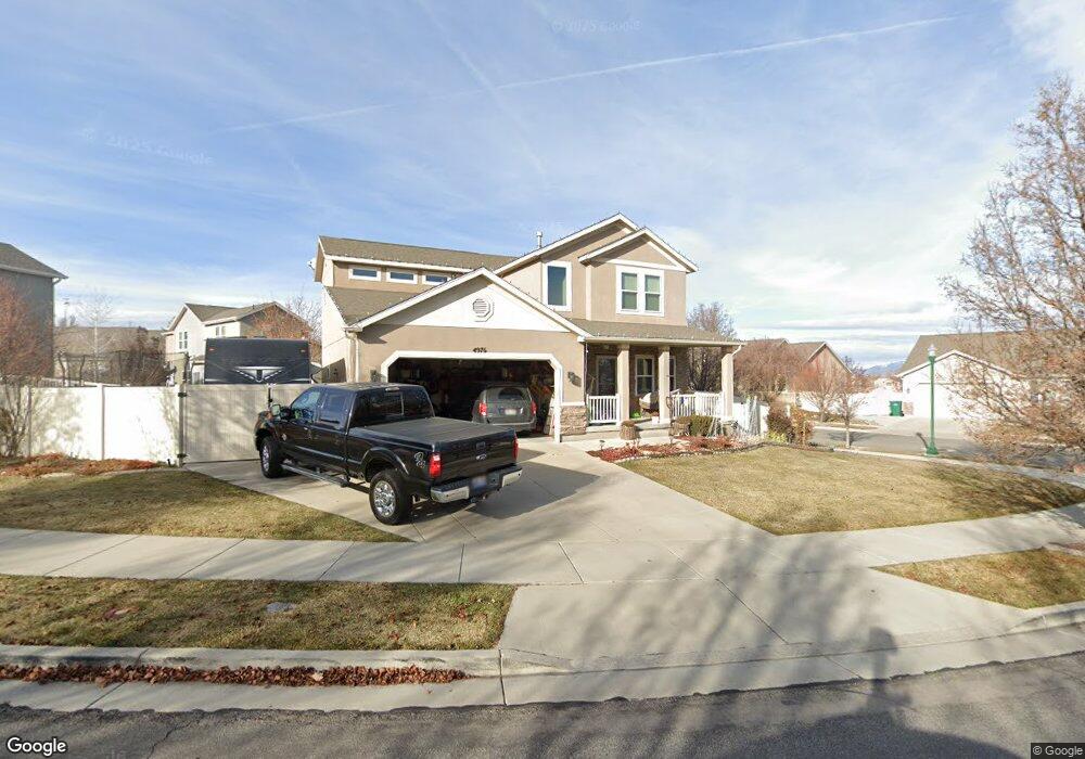
4976 W Greenstreak Dr Riverton, UT 84096
Estimated Value: $549,063 - $609,000
3
Beds
3
Baths
2,315
Sq Ft
$248/Sq Ft
Est. Value
About This Home
This home is located at 4976 W Greenstreak Dr, Riverton, UT 84096 and is currently estimated at $573,016, approximately $247 per square foot. 4976 W Greenstreak Dr is a home located in Salt Lake County with nearby schools including Foothills School, South Hills Middle School, and Mountain Ridge High School.
Ownership History
Date
Name
Owned For
Owner Type
Purchase Details
Closed on
Sep 16, 2016
Sold by
Myers Justin M
Bought by
King Joseph and King Maren
Current Estimated Value
Home Financials for this Owner
Home Financials are based on the most recent Mortgage that was taken out on this home.
Original Mortgage
$277,400
Outstanding Balance
$221,576
Interest Rate
3.43%
Mortgage Type
New Conventional
Estimated Equity
$351,440
Create a Home Valuation Report for This Property
The Home Valuation Report is an in-depth analysis detailing your home's value as well as a comparison with similar homes in the area
Home Values in the Area
Average Home Value in this Area
Purchase History
| Date | Buyer | Sale Price | Title Company |
|---|---|---|---|
| King Joseph | -- | Novation Title Inss Agcy |
Source: Public Records
Mortgage History
| Date | Status | Borrower | Loan Amount |
|---|---|---|---|
| Open | King Joseph | $277,400 |
Source: Public Records
Tax History Compared to Growth
Tax History
| Year | Tax Paid | Tax Assessment Tax Assessment Total Assessment is a certain percentage of the fair market value that is determined by local assessors to be the total taxable value of land and additions on the property. | Land | Improvement |
|---|---|---|---|---|
| 2025 | $2,873 | $518,500 | $131,900 | $386,600 |
| 2024 | $2,873 | $497,200 | $127,300 | $369,900 |
| 2023 | $2,830 | $461,800 | $111,700 | $350,100 |
| 2022 | $2,954 | $472,900 | $109,500 | $363,400 |
| 2021 | $2,533 | $361,000 | $84,300 | $276,700 |
| 2020 | $2,421 | $321,700 | $84,300 | $237,400 |
| 2019 | $2,381 | $311,000 | $84,300 | $226,700 |
| 2018 | $2,318 | $298,100 | $78,700 | $219,400 |
| 2017 | $2,267 | $284,200 | $78,700 | $205,500 |
| 2016 | $2,341 | $258,000 | $78,700 | $179,300 |
| 2015 | $2,267 | $264,300 | $81,300 | $183,000 |
| 2014 | $2,466 | $244,300 | $76,100 | $168,200 |
Source: Public Records
Map
Nearby Homes
- 13597 S Firetip Ct
- 4952 W Atala Way
- 5030 Little Water Peak Dr
- 5036 W Cedar Point Peak Dr
- 13863 S Kessler Peak Dr
- 5217 Autumn Creek Dr
- 5248 Little Water Peak Dr
- 13908 S 5180 W
- 4722 W Cillian Ln Unit 2411
- 4714 W Cillian Ln Unit 2410
- 4698 W Cillian Ln Unit 2409
- 13688 S Hanley Ln Unit JJ204
- 13741 S Hanley Ln Unit FF201
- 13713 S Hanley Ln Unit EE304
- 13713 S Hanley Ln Unit EE303
- 13713 S Hanley Ln Unit EE102
- 13713 S Hanley Ln Unit EE101
- 13687 S Hanley Ln Unit DD303
- 13687 S Hanley Ln Unit DD302
- 13687 S Hanley Ln Unit DD203
- 4976 W Green Streak Dr Or 1 Dr
- 4976 Greenstreak Dr
- 4992 Greenstreak Dr
- 13656 Admiral Dr
- 13656 S Admiral Dr
- 13669 Admiral Dr
- 4967 Greenstreak Dr
- 4973 Greenstreak Dr
- 13659 Admiral Dr W
- 4987 Greenstreak Dr
- 13659 Admiral Dr
- 4987 W Greenstreak Dr
- 13634 Admiral Dr W
- 5002 W Greenstreak Dr
- 5002 Greenstreak Dr
- 13646 Admiral Dr
- 13646 S Admiral Dr
- 13677 Admiral Dr
- 4997 Greenstreak Dr
- 4997 W Greenstreak Dr