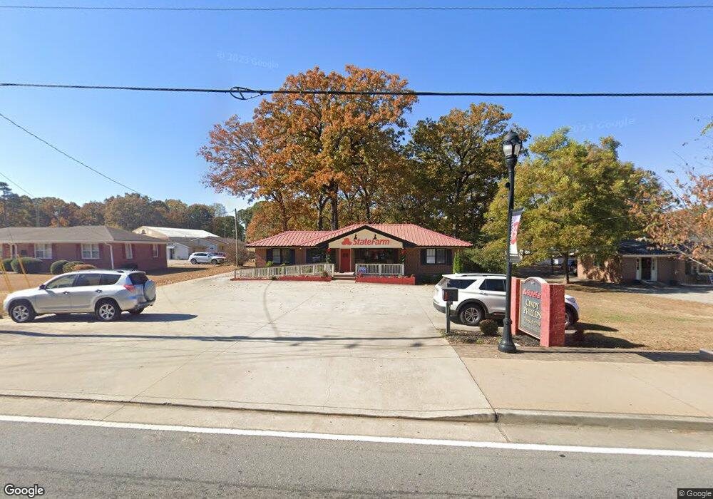
4977 Highway 53 Braselton, GA 30517
Estimated Value: $706,416
--
Bed
2
Baths
1,799
Sq Ft
$393/Sq Ft
Est. Value
About This Home
This home is located at 4977 Highway 53, Braselton, GA 30517 and is currently estimated at $706,416, approximately $392 per square foot. 4977 Highway 53 is a home located in Jackson County with nearby schools including West Jackson Elementary School, West Jackson Middle School, and Jackson County High School.
Ownership History
Date
Name
Owned For
Owner Type
Purchase Details
Closed on
May 24, 2014
Sold by
Phillips Jessie B
Bought by
Phillips Cynthia S
Current Estimated Value
Purchase Details
Closed on
Mar 28, 2008
Sold by
Vaughn Ray
Bought by
Phillips Cynthia S and Phillips Jesse B
Purchase Details
Closed on
Nov 19, 2007
Sold by
Not Provided
Bought by
Phillips Cynthia S and Phillips Jessie B
Home Financials for this Owner
Home Financials are based on the most recent Mortgage that was taken out on this home.
Original Mortgage
$148,865
Interest Rate
6.36%
Mortgage Type
Commercial
Purchase Details
Closed on
Aug 14, 2007
Sold by
Not Provided
Bought by
Phillips Cynthia S and Phillips Jessie B
Home Financials for this Owner
Home Financials are based on the most recent Mortgage that was taken out on this home.
Original Mortgage
$112,932
Interest Rate
6.56%
Mortgage Type
Commercial
Purchase Details
Closed on
Oct 6, 2000
Sold by
Hometown Insurance C
Bought by
Select Brokers Of
Create a Home Valuation Report for This Property
The Home Valuation Report is an in-depth analysis detailing your home's value as well as a comparison with similar homes in the area
Home Values in the Area
Average Home Value in this Area
Purchase History
| Date | Buyer | Sale Price | Title Company |
|---|---|---|---|
| Phillips Cynthia S | -- | -- | |
| Phillips Cynthia S | $325,000 | -- | |
| Phillips Cynthia S | -- | -- | |
| Phillips Cynthia S | -- | -- | |
| Select Brokers Of | $142,500 | -- | |
| Hometown Insurance C | $135,000 | -- |
Source: Public Records
Mortgage History
| Date | Status | Borrower | Loan Amount |
|---|---|---|---|
| Previous Owner | Phillips Cynthia S | $148,865 | |
| Previous Owner | Phillips Cynthia S | $112,932 |
Source: Public Records
Tax History Compared to Growth
Tax History
| Year | Tax Paid | Tax Assessment Tax Assessment Total Assessment is a certain percentage of the fair market value that is determined by local assessors to be the total taxable value of land and additions on the property. | Land | Improvement |
|---|---|---|---|---|
| 2024 | $3,911 | $134,120 | $50,920 | $83,200 |
| 2023 | $4,112 | $128,320 | $50,920 | $77,400 |
| 2022 | $3,597 | $112,240 | $42,440 | $69,800 |
| 2021 | $3,629 | $112,240 | $42,440 | $69,800 |
| 2020 | $3,726 | $105,960 | $42,440 | $63,520 |
| 2019 | $3,793 | $105,960 | $42,440 | $63,520 |
| 2018 | $3,890 | $107,680 | $42,440 | $65,240 |
| 2017 | $2,378 | $65,333 | $0 | $65,333 |
| 2016 | $3,939 | $107,799 | $42,466 | $65,333 |
| 2015 | $3,933 | $107,197 | $41,864 | $65,333 |
| 2014 | $3,858 | $107,197 | $41,864 | $65,333 |
| 2013 | -- | $107,197 | $41,864 | $65,332 |
Source: Public Records
Map
Nearby Homes
- 921 Blind Brook Cir
- 331 Orchid St
- 297 Orchid St
- 73 Osprey Overlook Dr
- 11 Creekside Commons Dr
- 15 Creekside Commons Dr
- 21 Creekside Commons Dr
- 37 Creekside Commons Dr
- 41 Creekside Commons Dr
- 45 Creekside Commons Dr
- 49 Creekside Commons Dr
- 125 Osprey Overlook Dr
- 264 Golden Eagle Pkwy
- 5455 Highway 53
- 222 Hickory Grove Ln
- 370 Golden Eagle Pkwy
- 329 Winterset Cir
- 4997 Highway 53
- 4955 Highway 53
- 56 Henry St
- 0 Henry St Unit Tract 2 8043304
- 0 Henry St Unit Tract 4 8043306
- 0 Henry St Unit Tract 3 8043305
- 0 Henry St Unit TRACT 1 8043220
- 0 Henry St Unit 8782723
- 0 Henry St Unit 8419367
- 4982 Georgia 53 Unit 2080
- 4982 Georgia 53
- HENRY Street Tract 1
- 232 Berkeley Trace
- 154 Berkeley Trace
- 40 Berkeley Trace
- 98 Berkeley Trace
- 4914 Georgia 53
- 126 Harrison St
- 4914 Highway 53
- 65 Frances St