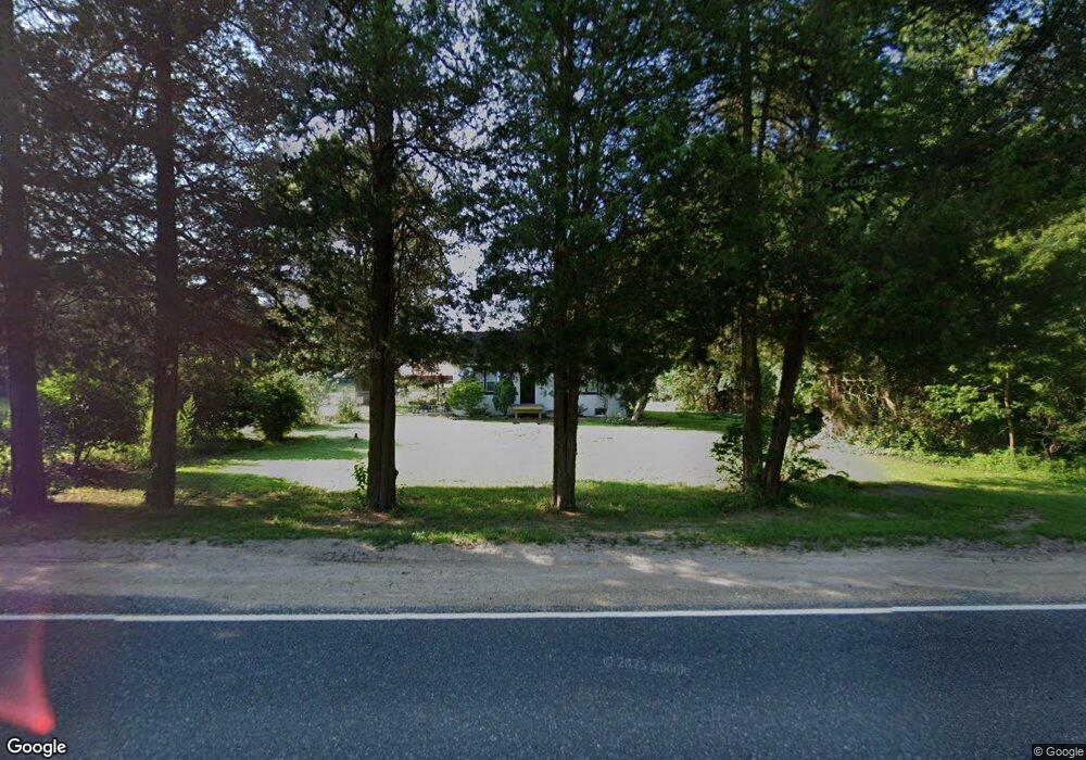
4977 Mays Landing Rd Vineland, NJ 08361
Estimated Value: $227,000 - $300,000
2
Beds
1
Bath
1,080
Sq Ft
$251/Sq Ft
Est. Value
About This Home
This home is located at 4977 Mays Landing Rd, Vineland, NJ 08361 and is currently estimated at $270,588, approximately $250 per square foot. 4977 Mays Landing Rd is a home located in Cumberland County with nearby schools including Anthony Rossi Elementary School, John H. Winslow Elementary School, and Vineland Senior High School.
Ownership History
Date
Name
Owned For
Owner Type
Purchase Details
Closed on
Dec 18, 2012
Sold by
Baruffi And Centuolo Assoc Llc
Bought by
Breeze Kelley S
Current Estimated Value
Purchase Details
Closed on
Oct 21, 2010
Sold by
Federal National Mortgage Association
Bought by
Baruffi And Centuolo Assoc Llc
Purchase Details
Closed on
May 13, 2010
Sold by
Devera Theresa R
Bought by
Federal National Mortgage Association
Create a Home Valuation Report for This Property
The Home Valuation Report is an in-depth analysis detailing your home's value as well as a comparison with similar homes in the area
Home Values in the Area
Average Home Value in this Area
Purchase History
| Date | Buyer | Sale Price | Title Company |
|---|---|---|---|
| Breeze Kelley S | $132,000 | Landis Title Corp | |
| Baruffi And Centuolo Assoc Llc | $85,000 | -- | |
| Federal National Mortgage Association | -- | -- |
Source: Public Records
Tax History Compared to Growth
Tax History
| Year | Tax Paid | Tax Assessment Tax Assessment Total Assessment is a certain percentage of the fair market value that is determined by local assessors to be the total taxable value of land and additions on the property. | Land | Improvement |
|---|---|---|---|---|
| 2025 | $4,805 | $150,900 | $62,700 | $88,200 |
| 2024 | $4,805 | $150,900 | $62,700 | $88,200 |
| 2023 | $4,773 | $150,900 | $62,700 | $88,200 |
| 2022 | $4,631 | $150,900 | $62,700 | $88,200 |
| 2021 | $4,186 | $146,700 | $62,700 | $84,000 |
| 2020 | $4,294 | $146,700 | $62,700 | $84,000 |
| 2019 | $4,235 | $146,700 | $62,700 | $84,000 |
| 2018 | $4,124 | $146,700 | $62,700 | $84,000 |
| 2017 | $3,917 | $146,700 | $62,700 | $84,000 |
| 2016 | $3,666 | $142,300 | $62,700 | $79,600 |
| 2015 | $3,530 | $142,300 | $62,700 | $79,600 |
| 2014 | $3,338 | $142,300 | $62,700 | $79,600 |
Source: Public Records
Map
Nearby Homes
- 4517 Ascher Rd
- 4437 Juniper St
- 4225 Mays Landing Rd
- 3259 S Union Rd
- 0 Ascher Rd
- 3773 Brookhaven Dr
- 2189 Berkeley Dr
- 2020 S Union Rd
- 3294 Hance Bridge Rd
- 3176 Hance Bridge Rd
- 3327 Dove Ct
- 4518 E Sherman Ave
- 27 Cannon Range Rd
- 2151 S Brookfield St
- 3391 Venturi Ln
- 2655 Mays Landing Rd
- 2603 Valhalla Rd
- 2676 Medina St
- 0 Genoa Ave Unit NJCB2013534
- 2769 Dante Ave
- 4962 Mays Landing Rd
- 4910 Mays Landing Rd
- 4937 Mays Landing Rd
- 5030 Mays Landing Rd
- 3801 Cornucopia Ave
- 3799,3801 and 4910 Cornucopia & Mays Landing Rd Ave
- 3799 Cornucopia Ave
- 5055 Mays Landing Rd
- 3812 Cornucopia Ave
- 4840 Mays Landing Rd
- 3791 Cornucopia Ave
- 3750 Cornucopia Ave
- 4825 Mays Landing Rd
- 4820 Mays Landing Rd
- 5147 Mays Landing Rd
- 3651 Cornucopia Ave
- 4815 Mays Landing Rd
- 3694 Cornucopia Ave
- 4758 Mays Landing Rd
- 4700 Mays Landing Rd