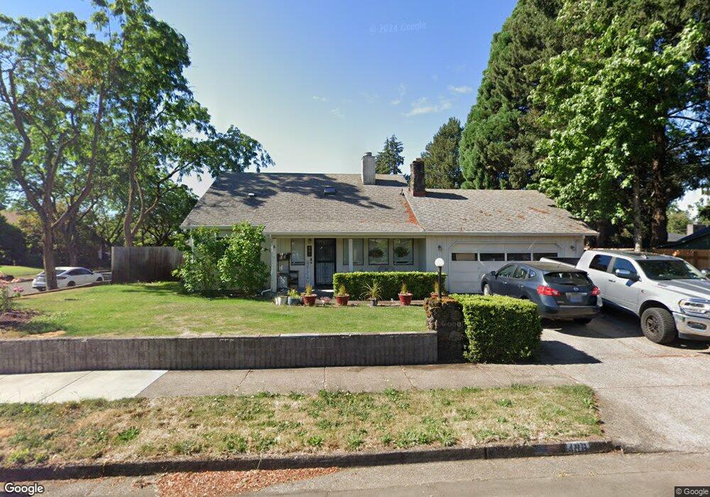
498 Kodiak St Eugene, OR 97401
Harlow NeighborhoodEstimated Value: $459,000 - $480,207
4
Beds
2
Baths
1,617
Sq Ft
$292/Sq Ft
Est. Value
About This Home
This home is located at 498 Kodiak St, Eugene, OR 97401 and is currently estimated at $471,802, approximately $291 per square foot. 498 Kodiak St is a home located in Lane County with nearby schools including Holt Elementary School, Monroe Middle School, and Sheldon High School.
Ownership History
Date
Name
Owned For
Owner Type
Purchase Details
Closed on
Apr 20, 2004
Sold by
Giles Stanford L and Giles Hilda
Bought by
Skinner Richard D and Skinner Julie A
Current Estimated Value
Home Financials for this Owner
Home Financials are based on the most recent Mortgage that was taken out on this home.
Original Mortgage
$181,405
Outstanding Balance
$79,135
Interest Rate
4.62%
Mortgage Type
VA
Estimated Equity
$392,667
Purchase Details
Closed on
Sep 16, 1998
Sold by
Hawley Robert A
Bought by
Giles Stanford L
Home Financials for this Owner
Home Financials are based on the most recent Mortgage that was taken out on this home.
Original Mortgage
$139,000
Interest Rate
6.89%
Mortgage Type
VA
Create a Home Valuation Report for This Property
The Home Valuation Report is an in-depth analysis detailing your home's value as well as a comparison with similar homes in the area
Home Values in the Area
Average Home Value in this Area
Purchase History
| Date | Buyer | Sale Price | Title Company |
|---|---|---|---|
| Skinner Richard D | $177,675 | Fidelity Natl Title Co Of Or | |
| Giles Stanford L | $139,000 | Western Pioneer Title Co |
Source: Public Records
Mortgage History
| Date | Status | Borrower | Loan Amount |
|---|---|---|---|
| Open | Skinner Richard D | $181,405 | |
| Previous Owner | Giles Stanford L | $139,000 |
Source: Public Records
Tax History
| Year | Tax Paid | Tax Assessment Tax Assessment Total Assessment is a certain percentage of the fair market value that is determined by local assessors to be the total taxable value of land and additions on the property. | Land | Improvement |
|---|---|---|---|---|
| 2025 | $4,907 | $251,845 | -- | -- |
| 2024 | $4,846 | $244,510 | -- | -- |
| 2023 | $4,846 | $237,389 | $0 | $0 |
| 2022 | $4,540 | $230,475 | $0 | $0 |
| 2021 | $4,264 | $223,763 | $0 | $0 |
| 2020 | $4,279 | $217,246 | $0 | $0 |
| 2019 | $4,133 | $210,919 | $0 | $0 |
| 2018 | $3,890 | $198,812 | $0 | $0 |
| 2017 | $3,701 | $198,812 | $0 | $0 |
| 2016 | $3,541 | $193,021 | $0 | $0 |
| 2015 | $3,394 | $187,399 | $0 | $0 |
| 2014 | $3,276 | $181,941 | $0 | $0 |
Source: Public Records
Map
Nearby Homes
- 446 Kodiak St
- 3579 Oxbow Way
- 3460 Oxbow Way
- 825 Waverly St
- 1038 President St
- 3700 Babcock Ln Unit 119
- 3700 Babcock Ln Unit 106
- 898 Lochaven Ave
- 2727 Gateway St Unit 27
- 2994 Dapple Way
- 1271 Arcadia Dr
- 341 Ransom Ct
- 1270 Calvin St
- 375 Mia Ln
- 280 Regal Ct
- 1130 Anderson Ln
- 2872 Suffolk Ct
- 2846 El Toro Ct
- 2746 Harlow Rd
- 1770 Brandy Way
Your Personal Tour Guide
Ask me questions while you tour the home.