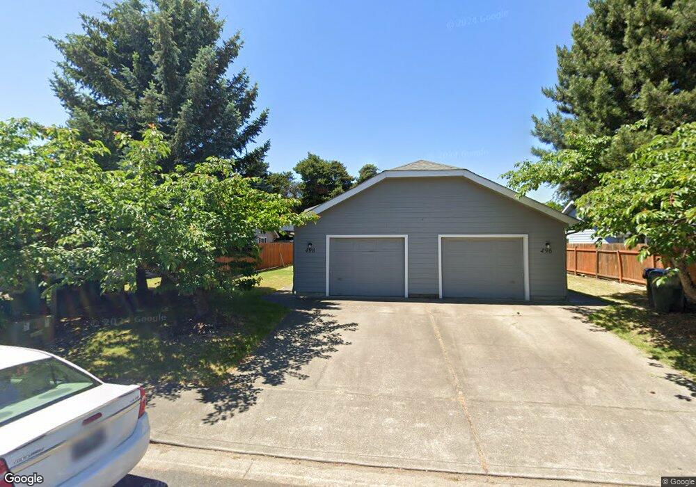
498 Southgate Dr S Monmouth, OR 97361
Estimated Value: $529,000 - $590,000
6
Beds
4
Baths
2,280
Sq Ft
$245/Sq Ft
Est. Value
About This Home
This home is located at 498 Southgate Dr S, Monmouth, OR 97361 and is currently estimated at $558,705, approximately $245 per square foot. 498 Southgate Dr S is a home with nearby schools including Monmouth Elementary School, Talmadge Middle School, and Central High School.
Ownership History
Date
Name
Owned For
Owner Type
Purchase Details
Closed on
Nov 27, 2024
Sold by
Baxter Murel Jean
Bought by
Hook Anna and Hawkins Kayla
Current Estimated Value
Purchase Details
Closed on
Aug 29, 2017
Sold by
Cameron Denise
Bought by
Baxter Ted and Baxter Jean
Home Financials for this Owner
Home Financials are based on the most recent Mortgage that was taken out on this home.
Original Mortgage
$264,000
Interest Rate
3.92%
Mortgage Type
New Conventional
Purchase Details
Closed on
May 27, 2008
Sold by
Cameron Gary and Cameron Denise
Bought by
Cameron Denise
Create a Home Valuation Report for This Property
The Home Valuation Report is an in-depth analysis detailing your home's value as well as a comparison with similar homes in the area
Home Values in the Area
Average Home Value in this Area
Purchase History
| Date | Buyer | Sale Price | Title Company |
|---|---|---|---|
| Hook Anna | -- | None Listed On Document | |
| Baxter Ted | $330,000 | Ticor Title Company | |
| Cameron Denise | -- | None Available |
Source: Public Records
Mortgage History
| Date | Status | Borrower | Loan Amount |
|---|---|---|---|
| Previous Owner | Baxter Ted | $264,000 |
Source: Public Records
Tax History Compared to Growth
Tax History
| Year | Tax Paid | Tax Assessment Tax Assessment Total Assessment is a certain percentage of the fair market value that is determined by local assessors to be the total taxable value of land and additions on the property. | Land | Improvement |
|---|---|---|---|---|
| 2025 | $4,722 | $286,470 | $66,000 | $220,470 |
| 2024 | $4,722 | $278,130 | $64,080 | $214,050 |
| 2023 | $4,920 | $270,030 | $62,220 | $207,810 |
| 2022 | $4,427 | $262,170 | $60,410 | $201,760 |
| 2021 | $4,377 | $254,540 | $58,650 | $195,890 |
| 2020 | $4,203 | $247,130 | $56,940 | $190,190 |
| 2019 | $4,081 | $239,940 | $55,290 | $184,650 |
| 2018 | $3,941 | $232,960 | $53,680 | $179,280 |
| 2017 | $3,919 | $226,180 | $52,120 | $174,060 |
| 2016 | $4,004 | $219,600 | $50,610 | $168,990 |
| 2015 | -- | $213,210 | $49,130 | $164,080 |
Source: Public Records
Map
Nearby Homes
- 0 S Pacific Hwy W Unit 1100+ 24617884
- 0 S Pacific Hwy W
- 505 Broad St S
- 545 Warren St S Unit 12
- 545 Warren St S
- 545 Warren St S Unit 7
- 750 Beaton Ln
- 191 Catron St S
- 1176 Gwinn St E
- 271 Clay St E
- 309 Atwater St S
- 858 Main St E
- 348 Main St E
- 1370 Bentley St E
- 1390 Gwinn St E
- 412 Monmouth Ave S
- 460 Monmouth Ave S
- 355 Jacobson Ct S
- 1470 Ash Creek Dr E
- 1466 Ash Creek Dr E
- 496 Southgate Dr S
- 496 Southgate Dr S
- 504 Southgate Dr S
- 504 Southgate Dr S
- 504 Southgate (- 506) Dr N
- 474 Southgate Dr S
- 474 Southgate Dr S
- 522 Southgate Dr S
- 522 Southgate Dr S
- 460 Southgate Dr S
- 483 Southgate (-485) Dr
- 540 Southgate Dr S
- 540 Southgate Dr S
- 452 Southgate Dr S
- 520 High St S
- 496 High St S
- 463 Southgate Dr S
- 438 Southgate Dr S
- 472 High St S
- 448 High St S