4980 Highway 52 Horseshoe Bend, ID 83629
Gem County NeighborhoodEstimated Value: $414,000 - $809,000
2
Beds
1
Bath
720
Sq Ft
$784/Sq Ft
Est. Value
About This Home
This home is located at 4980 Highway 52, Horseshoe Bend, ID 83629 and is currently estimated at $564,410, approximately $783 per square foot. 4980 Highway 52 is a home located in Boise County with nearby schools including Sweet-Montour Elementary-Jr High School.
Ownership History
Date
Name
Owned For
Owner Type
Purchase Details
Closed on
Mar 21, 2024
Sold by
Dmiis Reed Sunver
Bought by
Davis Donavun M and Dmiis Reed Sunver
Current Estimated Value
Purchase Details
Closed on
Feb 12, 2007
Sold by
Markland Frances M and Markland Jonathan D
Bought by
Davis Reed and Davis Audrey
Home Financials for this Owner
Home Financials are based on the most recent Mortgage that was taken out on this home.
Original Mortgage
$83,000
Interest Rate
6.19%
Mortgage Type
New Conventional
Purchase Details
Closed on
Dec 28, 2006
Sold by
Pierce T Shane
Bought by
Markland Franes M and Markland Jonathan D
Home Financials for this Owner
Home Financials are based on the most recent Mortgage that was taken out on this home.
Original Mortgage
$83,000
Interest Rate
6.19%
Mortgage Type
New Conventional
Create a Home Valuation Report for This Property
The Home Valuation Report is an in-depth analysis detailing your home's value as well as a comparison with similar homes in the area
Home Values in the Area
Average Home Value in this Area
Purchase History
| Date | Buyer | Sale Price | Title Company |
|---|---|---|---|
| Davis Donavun M | -- | None Listed On Document | |
| Davis Donavun M | -- | None Listed On Document | |
| Davis Reed | -- | -- | |
| Markland Franes M | -- | -- |
Source: Public Records
Mortgage History
| Date | Status | Borrower | Loan Amount |
|---|---|---|---|
| Previous Owner | Davis Reed | $83,000 | |
| Previous Owner | Markland Franes M | $90,000 |
Source: Public Records
Tax History Compared to Growth
Tax History
| Year | Tax Paid | Tax Assessment Tax Assessment Total Assessment is a certain percentage of the fair market value that is determined by local assessors to be the total taxable value of land and additions on the property. | Land | Improvement |
|---|---|---|---|---|
| 2024 | $822 | $409,421 | $206,250 | $203,171 |
| 2023 | $822 | $320,530 | $169,000 | $151,530 |
| 2022 | $1,189 | $309,930 | $158,400 | $151,530 |
| 2021 | $1,196 | $197,689 | $111,000 | $86,689 |
| 2020 | $775 | $217,662 | $46,496 | $171,166 |
| 2019 | $767 | $105,771 | $39,496 | $66,275 |
| 2018 | $741 | $174,798 | $39,496 | $135,302 |
| 2017 | $750 | $74,600 | $32,496 | $42,104 |
| 2016 | $771 | $71,122 | $32,496 | $38,626 |
| 2015 | $746 | $105,707 | $30,724 | $74,983 |
| 2014 | $723 | $105,707 | $30,724 | $74,983 |
| 2013 | -- | $85,319 | $28,412 | $56,907 |
| 2012 | -- | $82,789 | $28,412 | $54,377 |
Source: Public Records
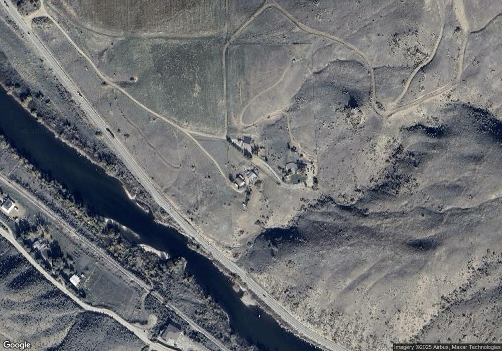
Map
Nearby Homes
- Lot 2 Jake Ln
- Lot 1 Jake Ln
- 4001 Harmony Ln
- 11980 N Highway 52
- Lot 7 Jake Ln
- TBD Sweet Ola Hwy
- 5208 Highway 52
- 5880 Sweet Ola Hwy
- 5375 Montour Rd
- 5400 Montour Rd
- 8011 Westridge Ln
- 6501 Sweet Ola Hwy
- Parcel 2 Deidre Ln
- Parcel 1 Deirdre Ln
- 9605 Darnell Rd Unit Darnell Rd
- Parcel C Deirdre Ln
- 18 Teal Ln
- 34 Deirdre Dr
- 35 Lorraine Ln
- TBD Webster Ln - A
- 4982 Highway 52
- 5125 Highway 52
- 10615 E Gatfield Rd
- 11660 E Gatfield Rd
- 11600 E Gatfield Rd
- 1xxxxx E Gatfield Rd
- Parcel's 2 & 3 E Gatfield Rd
- Lot 1 E Gatfield Rd
- 9309 E Gatfield Rd
- 4101 Harmony Ln
- 153.94 acres E Gatfield Rd
- 10420 E Gatfield Rd
- 10639 E Gatfield Rd
- 9747 E Gatfield Rd
- 11805 N Highway 52
- 11725 N Highway 52
- 194 acres Gatfield Rd
- 11725 Idaho 52
- 156 acres E Gatfield Rd
- 11900 N Highway 52