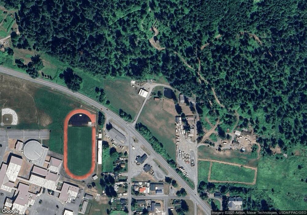
4980 Mt Baker Hwy Deming, WA 98244
Estimated Value: $853,000 - $869,258
3
Beds
1
Bath
1,952
Sq Ft
$441/Sq Ft
Est. Value
About This Home
This home is located at 4980 Mt Baker Hwy, Deming, WA 98244 and is currently estimated at $861,129, approximately $441 per square foot. 4980 Mt Baker Hwy is a home with nearby schools including Mount Baker Senior High School.
Ownership History
Date
Name
Owned For
Owner Type
Purchase Details
Closed on
Nov 29, 2016
Sold by
Schroeder Lonny R and Schroeder Shirley R
Bought by
Mcnielly Ryan T
Current Estimated Value
Home Financials for this Owner
Home Financials are based on the most recent Mortgage that was taken out on this home.
Original Mortgage
$282,500
Outstanding Balance
$183,071
Interest Rate
3.57%
Mortgage Type
New Conventional
Estimated Equity
$678,058
Create a Home Valuation Report for This Property
The Home Valuation Report is an in-depth analysis detailing your home's value as well as a comparison with similar homes in the area
Home Values in the Area
Average Home Value in this Area
Purchase History
| Date | Buyer | Sale Price | Title Company |
|---|---|---|---|
| Mcnielly Ryan T | $419,000 | Chicago Title Insurance |
Source: Public Records
Mortgage History
| Date | Status | Borrower | Loan Amount |
|---|---|---|---|
| Open | Mcnielly Ryan T | $282,500 |
Source: Public Records
Tax History Compared to Growth
Tax History
| Year | Tax Paid | Tax Assessment Tax Assessment Total Assessment is a certain percentage of the fair market value that is determined by local assessors to be the total taxable value of land and additions on the property. | Land | Improvement |
|---|---|---|---|---|
| 2024 | $5,320 | $672,565 | $233,957 | $438,608 |
| 2023 | $5,320 | $724,130 | $272,186 | $451,944 |
| 2022 | $4,612 | $593,535 | $223,098 | $370,437 |
| 2021 | $4,172 | $478,654 | $179,917 | $298,737 |
| 2020 | $3,843 | $405,638 | $152,471 | $253,167 |
| 2019 | $3,470 | $357,396 | $134,338 | $223,058 |
| 2018 | $4,228 | $344,578 | $129,520 | $215,058 |
| 2017 | $3,829 | $331,292 | $131,996 | $199,296 |
| 2016 | $3,685 | $319,789 | $127,413 | $192,376 |
| 2015 | $3,402 | $305,410 | $121,684 | $183,726 |
| 2014 | -- | $287,580 | $114,580 | $173,000 |
| 2013 | -- | $287,580 | $114,580 | $173,000 |
Source: Public Records
Map
Nearby Homes
- 5221 Mitchell Rd
- 0 Mt Baker Hwy Unit NWM2371192
- 8290 Mount Baker Hwy
- 5458 Mount Baker Hwy
- 5070 Deming Rd
- 7019 Mount Baker Hwy
- 4290 Mt Baker Hwy
- 5510 Mt Baker Hwy
- 4126 Caron Rd
- 3999 Deming Rd
- 4120 Valley Hwy
- 4086 Valley Hwy
- 5860 Bell Creek Logging Rd
- 5718 Schornbush Rd
- 6260 Rutsatz Rd
- 0 N Fork Rd
- 0 Hoff Cir
- 5463 Mosquito Lake Rd
- 5753 Lawrence Rd
- 3557 Cedarville Rd Unit 13
