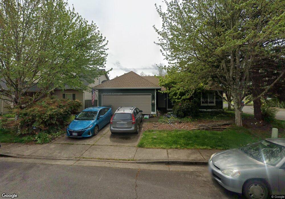
4980 SW Aster St Corvallis, OR 97333
Southwest Corvallis NeighborhoodEstimated Value: $468,000 - $536,000
3
Beds
2
Baths
1,408
Sq Ft
$358/Sq Ft
Est. Value
About This Home
This home is located at 4980 SW Aster St, Corvallis, OR 97333 and is currently estimated at $503,495, approximately $357 per square foot. 4980 SW Aster St is a home located in Benton County with nearby schools including Adams Elementary School, Linus Pauling Middle School, and Corvallis High School.
Ownership History
Date
Name
Owned For
Owner Type
Purchase Details
Closed on
Mar 21, 2003
Sold by
Darris Dale C
Bought by
Flatt Patricia M
Current Estimated Value
Home Financials for this Owner
Home Financials are based on the most recent Mortgage that was taken out on this home.
Original Mortgage
$134,600
Outstanding Balance
$57,099
Interest Rate
5.82%
Estimated Equity
$446,396
Purchase Details
Closed on
Oct 11, 2000
Sold by
Green Mont J
Bought by
Darris Dale C
Home Financials for this Owner
Home Financials are based on the most recent Mortgage that was taken out on this home.
Original Mortgage
$120,400
Interest Rate
7.96%
Create a Home Valuation Report for This Property
The Home Valuation Report is an in-depth analysis detailing your home's value as well as a comparison with similar homes in the area
Home Values in the Area
Average Home Value in this Area
Purchase History
| Date | Buyer | Sale Price | Title Company |
|---|---|---|---|
| Flatt Patricia M | $157,000 | First American Title | |
| Darris Dale C | $152,000 | First American |
Source: Public Records
Mortgage History
| Date | Status | Borrower | Loan Amount |
|---|---|---|---|
| Open | Flatt Patricia M | $134,600 | |
| Previous Owner | Darris Dale C | $120,400 |
Source: Public Records
Tax History Compared to Growth
Tax History
| Year | Tax Paid | Tax Assessment Tax Assessment Total Assessment is a certain percentage of the fair market value that is determined by local assessors to be the total taxable value of land and additions on the property. | Land | Improvement |
|---|---|---|---|---|
| 2025 | $5,794 | $310,670 | -- | -- |
| 2024 | $5,794 | $301,621 | -- | -- |
| 2023 | $5,456 | $292,836 | $0 | $0 |
| 2022 | $5,296 | $284,307 | $0 | $0 |
| 2021 | $5,080 | $276,026 | $0 | $0 |
| 2020 | $5,093 | $267,986 | $0 | $0 |
| 2019 | $4,511 | $260,181 | $0 | $0 |
| 2018 | $4,547 | $252,603 | $0 | $0 |
| 2017 | $4,059 | $245,246 | $0 | $0 |
| 2016 | $4,006 | $238,103 | $0 | $0 |
| 2015 | $3,893 | $231,168 | $0 | $0 |
| 2014 | $3,784 | $224,435 | $0 | $0 |
| 2012 | -- | $211,551 | $0 | $0 |
Source: Public Records
Map
Nearby Homes
- 4900 SW Hollyhock Cir
- 4651 SW 47th Place
- 4942 SW Hollyhock Cir
- 5300 SW Whitby Ave
- 5636 SW Avena Place
- 4968 SW Kara Ave
- 5935 SW Philomath Bl
- Parcel #142681 SW Gerold St
- 0 SW Gerold St
- 4525 SW Nash Ave
- 1140 SW Sylvia St
- 1045 SW 53rd St
- 4530 SW Nash (Next To) Ave
- 1124 SW Sylvia St
- 1050 SW Timian St
- 1123 SW Sylvia St
- 4149 SW Research Way
- 2520 SW Whiteside Dr
- 3475 SW Buckeye Place
- 6034 SW Grand Oaks Dr
- 4972 SW Aster St
- 4964 SW Aster St
- 4999 SW Roseberry St
- 4981 SW Aster St
- 4997 SW Roseberry St
- 4973 SW Aster St
- 4995 SW Roseberry St
- 4956 SW Aster St
- 4965 SW Aster St
- 4993 SW Roseberry St
- 5050 SW Country Club Dr
- 5070 SW Country Club Dr
- 4957 SW Aster St
- 4982 SW Roseberry St
- 4948 SW Aster St
- 4974 SW Roseberry St
- 4991 SW Roseberry St
- 5025 SW Beals Ave
- 4966 SW Roseberry St
- 4949 SW Aster St