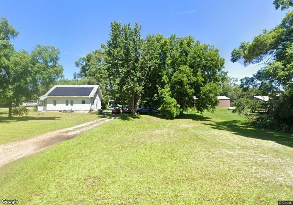
4984 136th St South Haven, MN 55382
Estimated Value: $204,000 - $248,000
3
Beds
1
Bath
1,112
Sq Ft
$194/Sq Ft
Est. Value
About This Home
This home is located at 4984 136th St, South Haven, MN 55382 and is currently estimated at $215,336, approximately $193 per square foot. 4984 136th St is a home located in Stearns County with nearby schools including Kimball Elementary School and Kimball High School.
Ownership History
Date
Name
Owned For
Owner Type
Purchase Details
Closed on
Dec 10, 2021
Sold by
Schmidt Emery Emery
Bought by
Knutson Reno Reno
Current Estimated Value
Home Financials for this Owner
Home Financials are based on the most recent Mortgage that was taken out on this home.
Original Mortgage
$174,115
Outstanding Balance
$160,119
Interest Rate
3.1%
Estimated Equity
$55,217
Purchase Details
Closed on
Sep 20, 2002
Sold by
Maurer Caroline
Bought by
Schmidt Emery
Create a Home Valuation Report for This Property
The Home Valuation Report is an in-depth analysis detailing your home's value as well as a comparison with similar homes in the area
Purchase History
| Date | Buyer | Sale Price | Title Company |
|---|---|---|---|
| Knutson Reno Reno | $179,500 | -- | |
| Schmidt Emery | $65,000 | -- |
Source: Public Records
Mortgage History
| Date | Status | Borrower | Loan Amount |
|---|---|---|---|
| Open | Knutson Reno Reno | $174,115 | |
| Closed | Knutson Reno Reno | -- |
Source: Public Records
Tax History
| Year | Tax Paid | Tax Assessment Tax Assessment Total Assessment is a certain percentage of the fair market value that is determined by local assessors to be the total taxable value of land and additions on the property. | Land | Improvement |
|---|---|---|---|---|
| 2025 | $1,112 | $153,200 | $49,400 | $103,800 |
| 2024 | $1,156 | $152,400 | $49,400 | $103,000 |
| 2023 | $1,218 | $150,200 | $49,400 | $100,800 |
| 2022 | $990 | $113,800 | $41,000 | $72,800 |
| 2021 | $1,250 | $113,800 | $41,000 | $72,800 |
| 2020 | $1,244 | $108,400 | $41,000 | $67,400 |
| 2019 | $1,174 | $106,300 | $37,600 | $68,700 |
| 2018 | $1,088 | $87,400 | $29,500 | $57,900 |
| 2017 | $1,022 | $78,700 | $27,500 | $51,200 |
| 2016 | $970 | $0 | $0 | $0 |
| 2015 | $932 | $0 | $0 | $0 |
| 2014 | -- | $0 | $0 | $0 |
Source: Public Records
Map
Nearby Homes
- 15735 112th St NW
- 4391 Bridgewater Rd
- 13335 58th Ave
- 14XXX County Road 44
- 16434 109th St NW
- 16698 109th St NW
- 6552 Aspenwood Rd
- 520 Ellsworth Ave
- 13934 101st St NW
- 9905 Norton Ave NW
- 2366 Augusta Rd
- 10255 Nevens Ave NW Unit 64
- 10255 Nevens Ave NW Unit 46
- 13650 Clearwater Forest Dr
- 130XX 100th St NW
- 2060 Clearwater Forest Dr
- 13619 Clearwater Forest Cir
- South Tract A TBD County Road 45
- North Tract B TBD County Road 45
- 13658 Clearwater Forest Cir
- 13601 50th Ave
- 13603 49th Ave
- 13631 50th Ave
- 13551 49th Ave
- 4991 136th St
- 13601 49th Ave
- 13637 49th Ave
- 13557 50th Ave
- 13659 49th Ave
- 13612 49th Ave
- 5054 136th St
- 5045 136th St
- 13602 49th Ave
- 13600 49th Ave
- 13537 49th Ave
- 13642 49th Ave
- 13628 49th Ave
- 13527 50th Ave
- 4921 County Road 44
- 13564 49th Ave
Your Personal Tour Guide
Ask me questions while you tour the home.