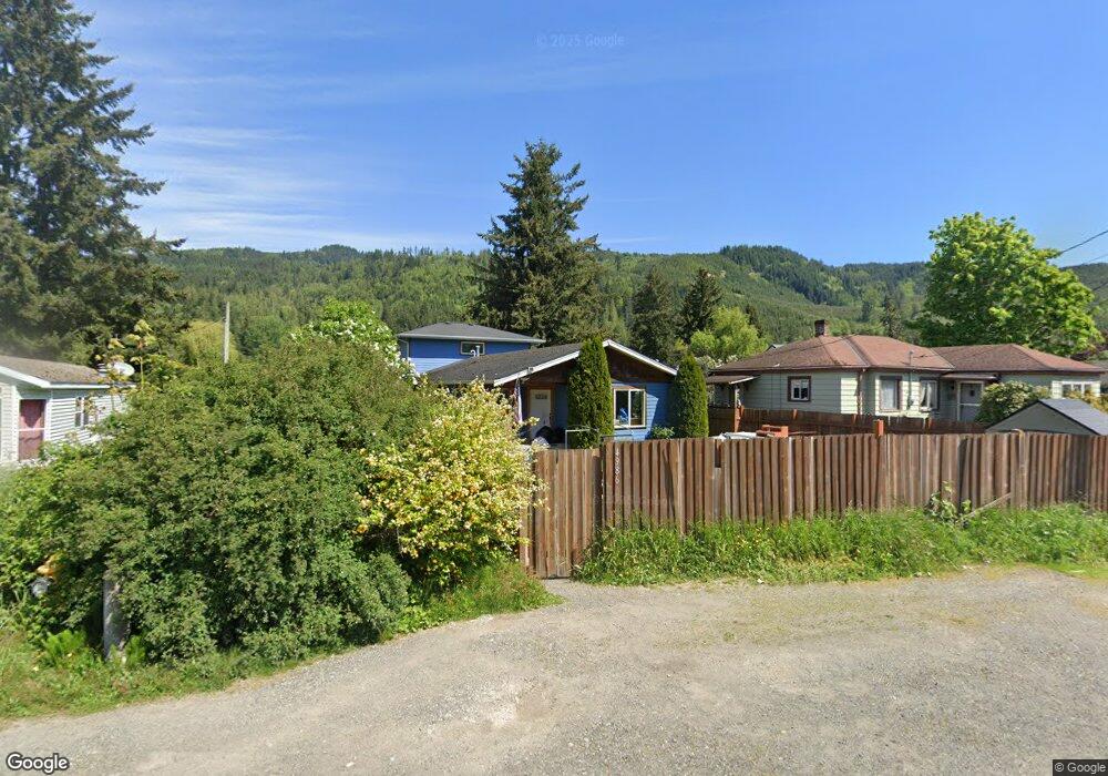
4986 Deming Rd Deming, WA 98244
Estimated Value: $548,913 - $895,000
4
Beds
2
Baths
2,080
Sq Ft
$348/Sq Ft
Est. Value
About This Home
This home is located at 4986 Deming Rd, Deming, WA 98244 and is currently estimated at $722,978, approximately $347 per square foot. 4986 Deming Rd is a home located in Whatcom County with nearby schools including Mount Baker Senior High School.
Ownership History
Date
Name
Owned For
Owner Type
Purchase Details
Closed on
Jan 23, 2006
Sold by
Habitat For Humanity In Whatcom County
Bought by
Hall Thomas J and Hall Cassandra A
Current Estimated Value
Home Financials for this Owner
Home Financials are based on the most recent Mortgage that was taken out on this home.
Original Mortgage
$140,000
Outstanding Balance
$78,737
Interest Rate
6.28%
Mortgage Type
Seller Take Back
Estimated Equity
$644,241
Purchase Details
Closed on
Feb 2, 2005
Sold by
Zwick Robin
Bought by
Habitat For Humanity Of Whatcom County
Create a Home Valuation Report for This Property
The Home Valuation Report is an in-depth analysis detailing your home's value as well as a comparison with similar homes in the area
Home Values in the Area
Average Home Value in this Area
Purchase History
| Date | Buyer | Sale Price | Title Company |
|---|---|---|---|
| Hall Thomas J | $140,000 | None Available | |
| Habitat For Humanity Of Whatcom County | $20,000 | Whatcom Land Title |
Source: Public Records
Mortgage History
| Date | Status | Borrower | Loan Amount |
|---|---|---|---|
| Open | Hall Thomas J | $140,000 |
Source: Public Records
Tax History Compared to Growth
Tax History
| Year | Tax Paid | Tax Assessment Tax Assessment Total Assessment is a certain percentage of the fair market value that is determined by local assessors to be the total taxable value of land and additions on the property. | Land | Improvement |
|---|---|---|---|---|
| 2024 | $3,888 | $447,844 | $144,000 | $303,844 |
| 2023 | $3,888 | $536,462 | $91,744 | $444,718 |
| 2022 | $3,259 | $429,174 | $73,396 | $355,778 |
| 2021 | $2,740 | $340,621 | $58,252 | $282,369 |
| 2020 | $2,859 | $268,207 | $45,868 | $222,339 |
| 2019 | $1,871 | $268,207 | $45,868 | $222,339 |
| 2018 | $1,610 | $188,858 | $40,000 | $148,858 |
| 2017 | $1,364 | $126,761 | $32,872 | $93,889 |
| 2016 | $1,321 | $114,389 | $29,680 | $84,709 |
| 2015 | $1,217 | $109,905 | $28,980 | $80,925 |
| 2014 | -- | $103,334 | $27,160 | $76,174 |
| 2013 | -- | $108,522 | $28,000 | $80,522 |
Source: Public Records
Map
Nearby Homes
- 5070 Deming Rd
- 0 Mt Baker Hwy Unit NWM2371192
- 8290 Mount Baker Hwy
- 5458 Mount Baker Hwy
- 7019 Mount Baker Hwy
- 4290 Mt Baker Hwy
- 5510 Mt Baker Hwy
- 4126 Caron Rd
- 4120 Valley Hwy
- 4086 Valley Hwy
- 3999 Deming Rd
- 5718 Schornbush Rd
- 5860 Bell Creek Logging Rd
- 0 N Fork Rd
- 5463 Mosquito Lake Rd
- 0 Hoff Cir
- 5753 Lawrence Rd
- 3557 Cedarville Rd Unit 13
- 5888 Mount Baker Hwy
- 5947 Lawrence Rd