49883 Miller Ct Unit 20 Chesterfield, MI 48047
Estimated Value: $682,014 - $780,000
3
Beds
3
Baths
2,700
Sq Ft
$270/Sq Ft
Est. Value
About This Home
This home is located at 49883 Miller Ct Unit 20, Chesterfield, MI 48047 and is currently estimated at $729,504, approximately $270 per square foot. 49883 Miller Ct Unit 20 is a home located in Macomb County with nearby schools including Lottie M. Schmidt Elementary School, Anchor Bay Middle School South, and Anchor Bay High School.
Ownership History
Date
Name
Owned For
Owner Type
Purchase Details
Closed on
Jul 8, 2020
Sold by
Davis Benjamin A and Davis Janice L
Bought by
Benjamin A Davis & Janice L Davis Liv Tr
Current Estimated Value
Purchase Details
Closed on
Jul 14, 2009
Sold by
Simasko Thomas M and Simasko Loveann M
Bought by
Davis Benjamin Alan and Davis Janice Leslie
Purchase Details
Closed on
Oct 13, 2003
Sold by
Dino Real Estate Llc
Bought by
Simasko Thomas M
Create a Home Valuation Report for This Property
The Home Valuation Report is an in-depth analysis detailing your home's value as well as a comparison with similar homes in the area
Home Values in the Area
Average Home Value in this Area
Purchase History
| Date | Buyer | Sale Price | Title Company |
|---|---|---|---|
| Benjamin A Davis & Janice L Davis Liv Tr | -- | None Available | |
| Davis Benjamin Alan | $360,000 | Lawyers Title Insurance Co | |
| Simasko Thomas M | $90,000 | Lawyers Title Insurance Co |
Source: Public Records
Tax History Compared to Growth
Tax History
| Year | Tax Paid | Tax Assessment Tax Assessment Total Assessment is a certain percentage of the fair market value that is determined by local assessors to be the total taxable value of land and additions on the property. | Land | Improvement |
|---|---|---|---|---|
| 2025 | $8,305 | $322,000 | $0 | $0 |
| 2024 | $4,782 | $308,200 | $0 | $0 |
| 2023 | $7,515 | $275,200 | $0 | $0 |
| 2022 | $4,317 | $270,900 | $0 | $0 |
| 2021 | $7,306 | $260,000 | $0 | $0 |
| 2020 | $4,165 | $255,000 | $0 | $0 |
| 2019 | $6,759 | $236,700 | $0 | $0 |
| 2018 | $6,566 | $226,800 | $22,500 | $204,300 |
| 2017 | $6,489 | $220,250 | $22,500 | $197,750 |
| 2016 | $6,434 | $220,250 | $0 | $0 |
| 2015 | $2,990 | $209,450 | $0 | $0 |
| 2014 | $2,990 | $197,300 | $22,500 | $174,800 |
| 2012 | -- | $0 | $0 | $0 |
Source: Public Records
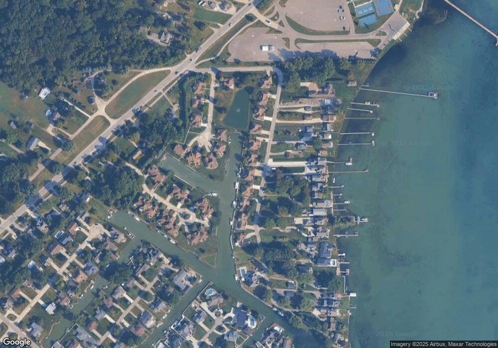
Map
Nearby Homes
- 49877 Miller Ct Unit 19
- 49750 Nautical Dr
- 50341 Jefferson Ave
- 34449 Jerome St
- 34509 Jerome St
- 34451 Joel St
- 34735 Joel St
- 33647 Bayview Dr
- 33855 Au Sable Dr Unit 8
- 33878 Au Sable Dr Unit 19
- 33831 Au Sable Dr Unit 24
- 50293 Bellaire Dr
- 50249 Bellaire Dr
- 49300 Bayshore St
- 49596 Platte River Dr
- 33796 Michigamme Dr Unit 34
- The Chestnut Plan at Lottivue Riverside Woods
- The Willow Plan at Lottivue Riverside Woods
- 33802 Au Sable Dr
- 50578 Woodbury Dr Unit 73
- 49889 Miller Ct Unit 21
- 49901 Miller Ct
- 49871 Miller Ct
- 49898 Schooner Ct
- 49892 Schooner Ct
- 49908 Miller Ct
- 49907 Miller Ct
- 49910 Schooner Ct Unit 34
- 49910 Schooner Ct
- 49865 Miller Ct Unit 17
- 49888 Miller Ct
- 49900 Miller Ct
- 33796 Lighthouse Pointe
- 49886 Schooner Ct
- 49904 Miller Ct
- 33770 Lighthouse Pointe
- 33770 Lighthouse
- 49919 Miller Ct Unit Bldg-Unit
- 49919 Miller Ct
- 49859 Miller Ct