4989 Davids Dr Holland, MI 49424
Port Sheldon Township NeighborhoodEstimated Value: $575,000 - $739,000
2
Beds
3
Baths
2,040
Sq Ft
$333/Sq Ft
Est. Value
About This Home
This home is located at 4989 Davids Dr, Holland, MI 49424 and is currently estimated at $679,039, approximately $332 per square foot. 4989 Davids Dr is a home located in Ottawa County with nearby schools including Lakeshore Elementary School, Harbor Lights Middle School, and West Ottawa High School.
Ownership History
Date
Name
Owned For
Owner Type
Purchase Details
Closed on
Apr 18, 2024
Sold by
Kruithoff Tod Henry and Kruithoff Suzanne Denise
Bought by
Kruithoff Suzanne Denise and Kruithoff Tod Henry
Current Estimated Value
Purchase Details
Closed on
Aug 27, 2021
Sold by
Kruithoff Tod and Kruithoff Suzanne
Bought by
Kruithoff Tod and Kruithoff Suzanne
Purchase Details
Closed on
Nov 13, 2012
Sold by
Kruithoff Ted and Kruithoff Charlotte L
Bought by
Kruithoff Tod and Kruithoff Suzanne
Create a Home Valuation Report for This Property
The Home Valuation Report is an in-depth analysis detailing your home's value as well as a comparison with similar homes in the area
Home Values in the Area
Average Home Value in this Area
Purchase History
| Date | Buyer | Sale Price | Title Company |
|---|---|---|---|
| Kruithoff Suzanne Denise | -- | None Listed On Document | |
| Kruithoff Tod | -- | None Available | |
| Kruithoff Tod | -- | None Available | |
| Kruithoff Tod | -- | None Available |
Source: Public Records
Tax History Compared to Growth
Tax History
| Year | Tax Paid | Tax Assessment Tax Assessment Total Assessment is a certain percentage of the fair market value that is determined by local assessors to be the total taxable value of land and additions on the property. | Land | Improvement |
|---|---|---|---|---|
| 2025 | $8,473 | $367,200 | $0 | $0 |
| 2024 | $7,778 | $309,600 | $0 | $0 |
| 2023 | $7,463 | $256,600 | $0 | $0 |
| 2022 | $7,732 | $222,800 | $0 | $0 |
| 2021 | $7,500 | $205,800 | $0 | $0 |
| 2020 | $7,410 | $197,700 | $0 | $0 |
| 2019 | $7,162 | $192,600 | $0 | $0 |
| 2018 | -- | $174,300 | $0 | $0 |
| 2017 | -- | $174,300 | $0 | $0 |
| 2016 | -- | $173,300 | $0 | $0 |
| 2015 | -- | $160,900 | $0 | $0 |
| 2014 | -- | $153,100 | $0 | $0 |
Source: Public Records
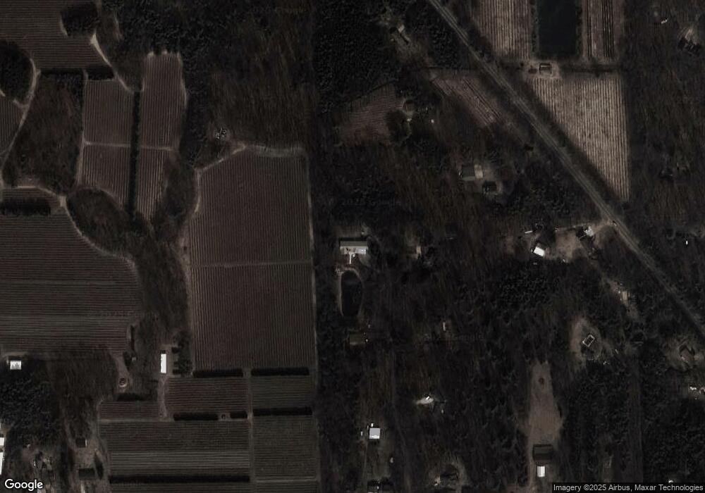
Map
Nearby Homes
- 5195 Sand Dr
- 0 0 Butternut Dr (Parcel B)
- 0 Butternut Dr (Parcel A)
- 5113 152nd Ave
- 16183 Red Pine Ct
- 0 Butternut Dr Unit 25050553
- 0 Butternut Dr Unit 24054347
- 5577 Timberstone Ln
- 16557 Sheldon Sands Ct
- 4040 Estate Dr
- 3981 Tall Grass West Ct
- 6051 Butternut Dr
- 5285 Lakeshore Dr N
- 3681 N 160th Ave
- 6060 152nd Ave
- 16659 Adler Dr
- 6340 Butternut Dr
- 4186 Lakeshore Dr N
- 0 Butternut Dr (Parcel B)
- 17055 Forest Lake Dr
- 4978 Davids Dr
- 4930 Davids Dr
- 5189 Butternut Dr
- 4878 Davids Dr
- 5351 Butternut Dr
- 5351 Butternut Dr
- 5041 Butternut Dr
- 15963 New Holland St
- 4832 Davids Dr
- 15809 New Holland St
- 4995 Butternut Dr
- 15867 New Holland St
- 5352 Butternut Dr
- 4975 Butternut Dr
- 9313 N 160th Ave
- 6339 N 160th Ave
- 4786 N 160th Ave
- 15978 New Holland St
- 5050 Butternut Dr
- V/L Butternut Dr