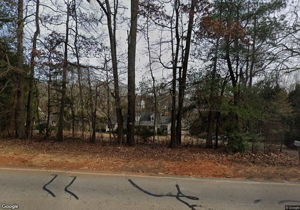
4989 Highway 332 Hoschton, GA 30548
Estimated Value: $309,000 - $417,000
--
Bed
2
Baths
1,575
Sq Ft
$232/Sq Ft
Est. Value
About This Home
This home is located at 4989 Highway 332, Hoschton, GA 30548 and is currently estimated at $365,397, approximately $231 per square foot. 4989 Highway 332 is a home located in Jackson County with nearby schools including Gum Springs Elementary School, West Jackson Middle School, and Jackson County High School.
Ownership History
Date
Name
Owned For
Owner Type
Purchase Details
Closed on
Jan 12, 2000
Sold by
Federal National Mor
Bought by
Roberts James E
Current Estimated Value
Purchase Details
Closed on
Jul 27, 1999
Sold by
Norwest Mortgage Inc
Bought by
Federal National Mor
Purchase Details
Closed on
Jan 4, 1996
Bought by
Mills Ricky L and Mills Bill
Create a Home Valuation Report for This Property
The Home Valuation Report is an in-depth analysis detailing your home's value as well as a comparison with similar homes in the area
Home Values in the Area
Average Home Value in this Area
Purchase History
| Date | Buyer | Sale Price | Title Company |
|---|---|---|---|
| Roberts James E | -- | -- | |
| Federal National Mor | -- | -- | |
| Norwest Mortgage Inc | -- | -- | |
| Mills Ricky L | $105,000 | -- |
Source: Public Records
Tax History Compared to Growth
Tax History
| Year | Tax Paid | Tax Assessment Tax Assessment Total Assessment is a certain percentage of the fair market value that is determined by local assessors to be the total taxable value of land and additions on the property. | Land | Improvement |
|---|---|---|---|---|
| 2024 | $2,904 | $109,520 | $36,000 | $73,520 |
| 2023 | $2,904 | $100,800 | $36,000 | $64,800 |
| 2022 | $1,874 | $62,840 | $12,240 | $50,600 |
| 2021 | $1,886 | $62,840 | $12,240 | $50,600 |
| 2020 | $1,751 | $53,840 | $12,240 | $41,600 |
| 2019 | $1,776 | $53,840 | $12,240 | $41,600 |
| 2018 | $1,731 | $51,880 | $12,240 | $39,640 |
| 2017 | $1,615 | $48,140 | $9,794 | $38,346 |
| 2016 | $1,622 | $48,140 | $9,794 | $38,346 |
| 2015 | $1,629 | $48,140 | $9,794 | $38,346 |
| 2014 | $1,301 | $39,594 | $9,794 | $29,800 |
| 2013 | -- | $39,594 | $9,793 | $29,800 |
Source: Public Records
Map
Nearby Homes
- 5041 Highway 332
- 4943 Highway 332
- 4989 Georgia 332
- 936 Liberty Bell Run Unit B66
- 936 Liberty Bell Run
- 964 Liberty Bell Run
- 908 Liberty Bell Run
- 922 Liberty Bell Run
- 922 Liberty Bell Run Unit B67
- 73 Prestwick Dr
- 97 Prestwick Dr
- 908 Liberty Bell Run
- 49 Prestwick Dr
- 965 Liberty Bell Run
- 4901 Highway 332
- 4901 Highway 332 Unit 11
- 894 Liberty Bell Run
- 894 Liberty Bell Run Unit B69
- 880 Liberty Bell Run