499 B and B Rd N Statesboro, GA 30461
Estimated Value: $244,000 - $307,000
3
Beds
2
Baths
2,358
Sq Ft
$119/Sq Ft
Est. Value
About This Home
This home is located at 499 B and B Rd N, Statesboro, GA 30461 and is currently estimated at $279,632, approximately $118 per square foot. 499 B and B Rd N is a home located in Bulloch County with nearby schools including Portal Elementary School and Portal Middle/High School.
Ownership History
Date
Name
Owned For
Owner Type
Purchase Details
Closed on
Apr 16, 2009
Sold by
Radford Robert Stanley
Bought by
Radford Pamela M
Current Estimated Value
Purchase Details
Closed on
Apr 1, 1994
Bought by
Radford Pamela M
Create a Home Valuation Report for This Property
The Home Valuation Report is an in-depth analysis detailing your home's value as well as a comparison with similar homes in the area
Home Values in the Area
Average Home Value in this Area
Purchase History
| Date | Buyer | Sale Price | Title Company |
|---|---|---|---|
| Radford Pamela M | -- | -- | |
| Radford Pamela M | -- | -- |
Source: Public Records
Tax History Compared to Growth
Tax History
| Year | Tax Paid | Tax Assessment Tax Assessment Total Assessment is a certain percentage of the fair market value that is determined by local assessors to be the total taxable value of land and additions on the property. | Land | Improvement |
|---|---|---|---|---|
| 2024 | $1,782 | $81,960 | $5,280 | $76,680 |
| 2023 | $1,359 | $73,640 | $3,440 | $70,200 |
| 2022 | $1,318 | $63,050 | $2,885 | $60,165 |
| 2021 | $1,149 | $53,905 | $2,885 | $51,020 |
| 2020 | $1,130 | $51,754 | $2,404 | $49,350 |
| 2019 | $1,141 | $51,946 | $2,404 | $49,542 |
| 2018 | $1,013 | $46,101 | $2,004 | $44,097 |
| 2017 | $974 | $43,832 | $2,004 | $41,828 |
| 2016 | $972 | $42,614 | $2,004 | $40,611 |
| 2015 | $936 | $40,874 | $2,004 | $38,871 |
| 2014 | $864 | $40,874 | $2,004 | $38,871 |
Source: Public Records
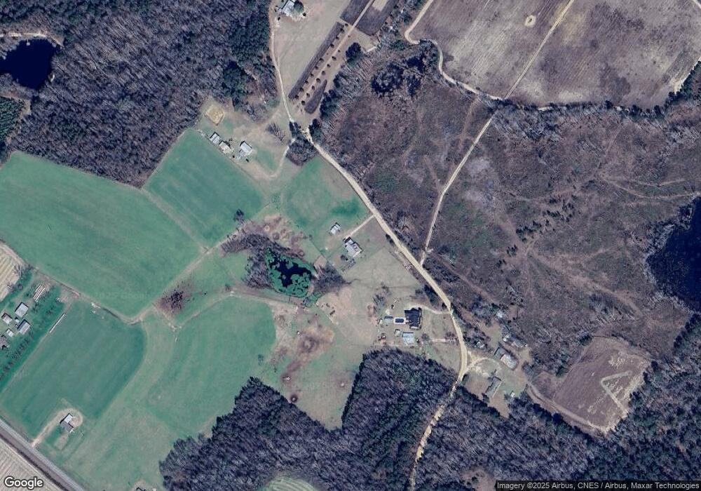
Map
Nearby Homes
- 149 Main St
- 125 Main St
- 0 Ford Rd Unit 10638265
- 0 Two Chop Rd
- 208 Oak Grove Ln
- 14.12 ac Middle Ground Rd
- APPRX 218 ACRES Old River Rd N
- APPRX 14 ACRES Old River Rd N
- 3978 Wc Hodges Rd
- 980 Bernard Smith Rd
- 0 Busby Rd Unit 10479601
- 2 Chop Rd
- 3195 Middle Ground Rd
- 1569 Walter McGlamery Rd
- 222 Archer Rd
- 609 Youngblood Rd
- 106 Rutledge Ln
- 0 Middle Ground Rd Unit 10506072
- 439 Dover Rd
- 5555 Carlton Ln
- 15186 Old River Rd N
- 411 B and B Rd N
- 585 B and B Rd N
- 344 B and B Rd N
- 570 B and B Rd N
- 15338 Old River Rd N
- 15485 Old River Rd N
- 0 Old River Rd N Unit 7471823
- N Old River Rd N
- 0 Old River Rd N
- 15606 Old River Rd N
- 15698 Old River Rd N
- 166 B and B Rd S
- 15668 Old River Rd N
- 15756 Old River Rd N
- 2139 Nevils Creek Church Rd
- 0 Crystal Rd Unit 8647354
- 15966 Old River Rd N
- 402 Crystal Rd