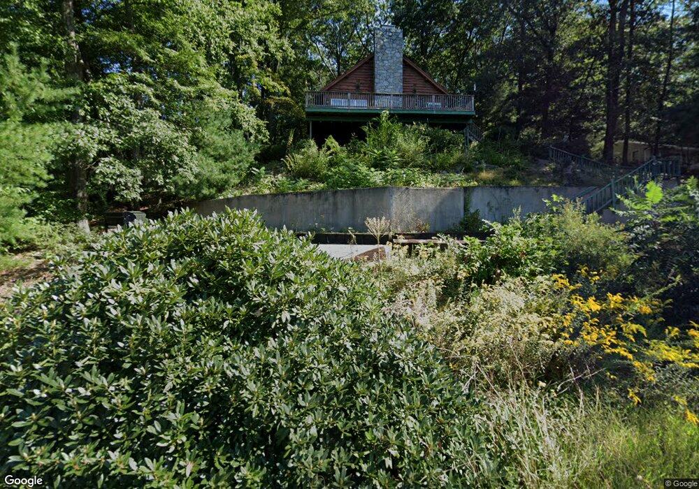
499 Brigham St Marlborough, MA 01752
Estimated Value: $560,273 - $696,000
3
Beds
2
Baths
1,302
Sq Ft
$464/Sq Ft
Est. Value
About This Home
This home is located at 499 Brigham St, Marlborough, MA 01752 and is currently estimated at $604,318, approximately $464 per square foot. 499 Brigham St is a home located in Middlesex County with nearby schools including Marlborough High School, Advanced Math & Science Academy, and New Covenant Christian School.
Ownership History
Date
Name
Owned For
Owner Type
Purchase Details
Closed on
Jan 29, 1993
Sold by
Kushner Gary J and Lotterman Lori A
Bought by
Tuttle Kevin A and Truesdale Kimberly
Current Estimated Value
Home Financials for this Owner
Home Financials are based on the most recent Mortgage that was taken out on this home.
Original Mortgage
$137,250
Interest Rate
8.16%
Mortgage Type
Purchase Money Mortgage
Create a Home Valuation Report for This Property
The Home Valuation Report is an in-depth analysis detailing your home's value as well as a comparison with similar homes in the area
Home Values in the Area
Average Home Value in this Area
Purchase History
| Date | Buyer | Sale Price | Title Company |
|---|---|---|---|
| Tuttle Kevin A | $152,500 | -- |
Source: Public Records
Mortgage History
| Date | Status | Borrower | Loan Amount |
|---|---|---|---|
| Open | Tuttle Kevin A | $97,000 | |
| Closed | Tuttle Kevin A | $127,000 | |
| Closed | Tuttle Kevin A | $137,250 |
Source: Public Records
Tax History Compared to Growth
Tax History
| Year | Tax Paid | Tax Assessment Tax Assessment Total Assessment is a certain percentage of the fair market value that is determined by local assessors to be the total taxable value of land and additions on the property. | Land | Improvement |
|---|---|---|---|---|
| 2025 | $4,855 | $492,400 | $237,600 | $254,800 |
| 2024 | $4,731 | $462,000 | $215,900 | $246,100 |
| 2023 | $5,065 | $438,900 | $186,700 | $252,200 |
| 2022 | $4,959 | $378,000 | $177,900 | $200,100 |
| 2021 | $4,896 | $354,700 | $148,300 | $206,400 |
| 2020 | $4,901 | $339,700 | $141,200 | $198,500 |
| 2019 | $4,674 | $332,200 | $138,500 | $193,700 |
| 2018 | $4,800 | $282,500 | $126,300 | $156,200 |
| 2017 | $6,093 | $276,400 | $128,900 | $147,500 |
| 2016 | $4,219 | $275,000 | $128,900 | $146,100 |
| 2015 | $4,301 | $272,900 | $133,300 | $139,600 |
Source: Public Records
Map
Nearby Homes
- 11 Whispering Brook Rd Unit 55
- 39 Desimone Dr
- 273 W Main St Unit B12
- 8 Saint Mary's Way Unit 8
- 30 Broad St Unit 104
- 30A Winter Ave
- 76 Broad St
- 11 Paris St
- 102 Liberty St
- 115 W Main St
- 2 Adams St
- 61 Fairmount St Unit 11
- 32 Water St
- 58 Walker St
- 87 Neil St
- 156 Chestnut St
- 144 Howe St
- 3 Madison St
- 111 Howe St
- 110 Pleasant St Unit 401