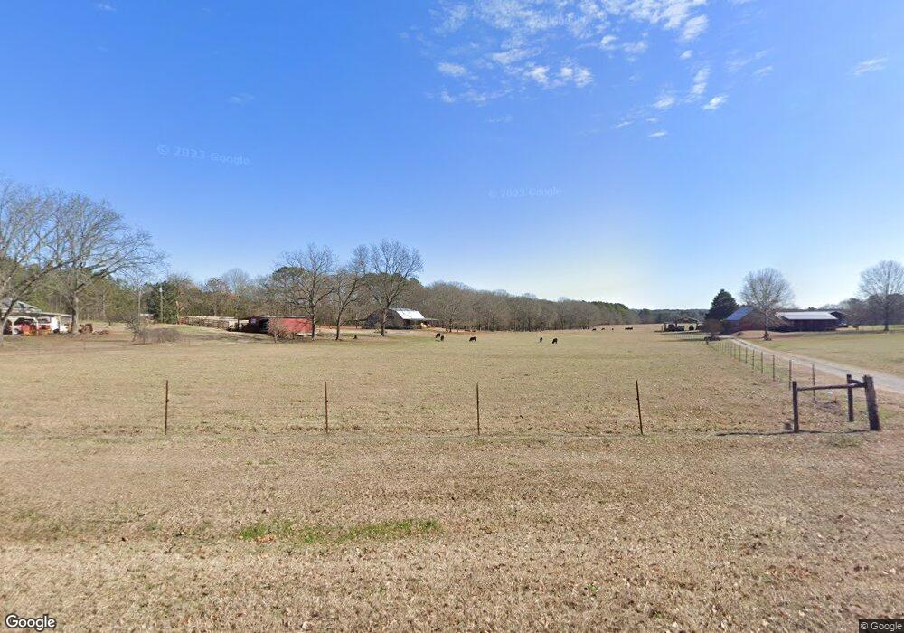
499 Carl Davis Rd Monroe, GA 30656
Estimated Value: $375,000 - $446,000
--
Bed
--
Bath
1,444
Sq Ft
$286/Sq Ft
Est. Value
About This Home
This home is located at 499 Carl Davis Rd, Monroe, GA 30656 and is currently estimated at $413,120, approximately $286 per square foot. 499 Carl Davis Rd is a home with nearby schools including Walker Park Elementary School, Carver Middle School, and Monroe Area High School.
Ownership History
Date
Name
Owned For
Owner Type
Purchase Details
Closed on
Mar 18, 2016
Sold by
Brent Charles
Bought by
Roberts Billy Ray
Current Estimated Value
Purchase Details
Closed on
May 2, 2011
Sold by
Roberts Faye J and Roberts Billy R
Bought by
Roberts Charles B
Home Financials for this Owner
Home Financials are based on the most recent Mortgage that was taken out on this home.
Original Mortgage
$102,510
Interest Rate
4.74%
Mortgage Type
New Conventional
Purchase Details
Closed on
Jan 27, 1988
Bought by
Roberts Faye J
Create a Home Valuation Report for This Property
The Home Valuation Report is an in-depth analysis detailing your home's value as well as a comparison with similar homes in the area
Home Values in the Area
Average Home Value in this Area
Purchase History
| Date | Buyer | Sale Price | Title Company |
|---|---|---|---|
| Roberts Billy Ray | -- | -- | |
| Roberts Charles B | $120,000 | -- | |
| Roberts Faye J | -- | -- |
Source: Public Records
Mortgage History
| Date | Status | Borrower | Loan Amount |
|---|---|---|---|
| Previous Owner | Roberts Charles B | $102,510 |
Source: Public Records
Tax History Compared to Growth
Tax History
| Year | Tax Paid | Tax Assessment Tax Assessment Total Assessment is a certain percentage of the fair market value that is determined by local assessors to be the total taxable value of land and additions on the property. | Land | Improvement |
|---|---|---|---|---|
| 2024 | $1,410 | $132,328 | $107,040 | $25,288 |
| 2023 | $1,404 | $126,208 | $101,640 | $24,568 |
| 2022 | $1,379 | $117,888 | $95,080 | $22,808 |
| 2021 | $1,314 | $95,448 | $73,880 | $21,568 |
| 2020 | $1,311 | $85,728 | $64,120 | $21,608 |
| 2019 | $1,262 | $78,888 | $57,000 | $21,888 |
| 2018 | $1,279 | $78,888 | $57,000 | $21,888 |
| 2017 | $2,560 | $74,288 | $52,800 | $21,488 |
| 2016 | $1,212 | $70,968 | $50,480 | $20,488 |
| 2015 | $1,050 | $70,688 | $0 | $0 |
| 2014 | $1,221 | $60,048 | $0 | $0 |
Source: Public Records
Map
Nearby Homes
- 1101 Longleaf Trace
- 1074 Pine View Trail
- 3589 Fannie Thompson Rd NW
- 3625 Fannie Thompson Rd NW
- 3601 Fannie Thompson Rd NW
- 3680 Apalachee Ridge
- 1252 White Columns Dr
- 436 James Powers Rd
- (GA)The Cooper | Side Entry Plan at Stonegate
- Riley A.2 3 Side Entry Plan at Stonegate
- (GA)The Kirkland | Side Entry Plan at Stonegate
- (GA)Woodmont A.1 3 Side Entry Plan at Stonegate
- (GA)The Woodmont | Side Entry Plan at Stonegate
- The Riley | Side Entry Plan at Stonegate
- 3055A Spring Hill Dr
- 3800 George Williams Rd
- 3055 Spring Hill Dr
- 2316 Pebble Trail
- 2321 Pebble Trail
- 1083 Pine View Trail
- 1083 Pine View Trail Unit 41
- 1083 Pine View Trail
- 545 Carl Davis Rd NW
- 510 Carl Davis Rd NW Unit 9
- 510 Carl Davis Rd NW
- 521 Carl Davis Rd
- 550 Carl Davis Rd NW
- 469 Carl Davis Rd NW
- 460 Carl Davis Rd
- 480 Carl Davis Rd
- 1454 Pine View Trail
- 3550 Old Braswell Rd NW
- 1095 Longleaf Trace
- 1071 Longleaf Trace
- 1076 Longleaf Trace
- 1100 Longleaf Trace
- 1096 Longleaf Trace
- 605 Carl Davis Rd
- 580 Carl Davis Rd