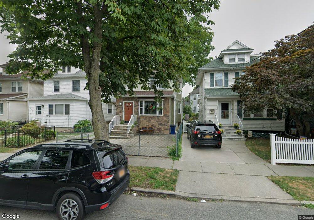
499 Heberton Ave Staten Island, NY 10302
Port Richmond NeighborhoodEstimated Value: $578,441 - $605,000
3
Beds
3
Baths
1,596
Sq Ft
$371/Sq Ft
Est. Value
About This Home
This home is located at 499 Heberton Ave, Staten Island, NY 10302 and is currently estimated at $592,110, approximately $370 per square foot. 499 Heberton Ave is a home located in Richmond County with nearby schools including P.S. 22 Graniteville, I.S. 51 Edwin Markham, and Port Richmond High School.
Ownership History
Date
Name
Owned For
Owner Type
Purchase Details
Closed on
Mar 4, 2005
Sold by
Hodges Michael James
Bought by
Gadsden Thomas and Gadsden Josetta
Current Estimated Value
Home Financials for this Owner
Home Financials are based on the most recent Mortgage that was taken out on this home.
Original Mortgage
$277,900
Interest Rate
5.83%
Mortgage Type
Fannie Mae Freddie Mac
Purchase Details
Closed on
Dec 4, 1997
Sold by
Cammarata Frank and Cammarata Rita
Bought by
Hodges Michael James and Hodges Rose
Create a Home Valuation Report for This Property
The Home Valuation Report is an in-depth analysis detailing your home's value as well as a comparison with similar homes in the area
Home Values in the Area
Average Home Value in this Area
Purchase History
| Date | Buyer | Sale Price | Title Company |
|---|---|---|---|
| Gadsden Thomas | $279,000 | -- | |
| Hodges Michael James | $145,000 | Commonwealth Land Title Ins |
Source: Public Records
Mortgage History
| Date | Status | Borrower | Loan Amount |
|---|---|---|---|
| Previous Owner | Gadsden Thomas | $277,900 |
Source: Public Records
Tax History Compared to Growth
Tax History
| Year | Tax Paid | Tax Assessment Tax Assessment Total Assessment is a certain percentage of the fair market value that is determined by local assessors to be the total taxable value of land and additions on the property. | Land | Improvement |
|---|---|---|---|---|
| 2025 | $4,989 | $31,500 | $7,429 | $24,071 |
| 2024 | $4,989 | $30,240 | $7,738 | $22,502 |
| 2023 | $4,880 | $24,029 | $7,091 | $16,938 |
| 2022 | $4,526 | $29,760 | $9,420 | $20,340 |
| 2021 | $4,617 | $25,020 | $9,420 | $15,600 |
| 2020 | $4,382 | $25,260 | $9,420 | $15,840 |
| 2019 | $4,330 | $27,420 | $9,420 | $18,000 |
| 2018 | $4,082 | $20,024 | $8,520 | $11,504 |
| 2017 | $3,851 | $18,892 | $9,098 | $9,794 |
| 2016 | $3,655 | $18,284 | $9,084 | $9,200 |
| 2015 | $3,311 | $17,251 | $6,827 | $10,424 |
| 2014 | $3,311 | $17,251 | $6,569 | $10,682 |
Source: Public Records
Map
Nearby Homes
- 47 Montell St
- 125 Decker Ave
- 94 Catherine St
- 469 Port Richmond Ave
- 28 Clinton Place
- 152 Cortlandt St
- 46 Catherine St
- 155 Cortlandt St
- 67 Lexington Ave
- 28 Hooker Place
- 28 Lexington Ave
- 30 Decker Ave
- 21 Dryden Ct
- 25 Lexington Ave
- 83 Palmer Ave
- 1328 Forest Ave
- 938 Post Ave
- 646 Port Richmond Ave
- 646-662 Port Richmond Ave
- 285 Nicholas Ave
- 497 Heberton Ave
- 501 Heberton Ave
- 503 Heberton Ave
- 495 Heberton Ave
- 143 Catherine St
- 493 Heberton Ave
- 141 Catherine St
- 491 Heberton Ave
- 489 Heberton Ave
- 158 Decker Ave
- 162 Decker Ave
- 156 Decker Ave
- 498 Heberton Ave
- 496 Heberton Ave
- 164 Decker Ave
- 150 Decker Ave
- 500 Heberton Ave
- 150 Catherine St
- 146 Catherine St
- 154 Catherine St