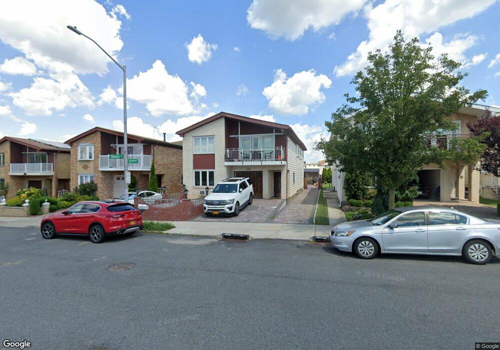
499 Klondike Ave Staten Island, NY 10314
New Springville NeighborhoodEstimated Value: $1,007,000 - $1,184,000
6
Beds
4
Baths
3,175
Sq Ft
$355/Sq Ft
Est. Value
About This Home
This home is located at 499 Klondike Ave, Staten Island, NY 10314 and is currently estimated at $1,126,074, approximately $354 per square foot. 499 Klondike Ave is a home located in Richmond County with nearby schools including P.S. 69 - Daniel D. Tompkins, Is 72 Rocco Laurie, and Susan E Wagner High School.
Ownership History
Date
Name
Owned For
Owner Type
Purchase Details
Closed on
May 24, 2007
Sold by
Fraga Maria
Bought by
Othman Mohammed A
Current Estimated Value
Home Financials for this Owner
Home Financials are based on the most recent Mortgage that was taken out on this home.
Original Mortgage
$575,000
Interest Rate
6.48%
Mortgage Type
Purchase Money Mortgage
Create a Home Valuation Report for This Property
The Home Valuation Report is an in-depth analysis detailing your home's value as well as a comparison with similar homes in the area
Home Values in the Area
Average Home Value in this Area
Purchase History
| Date | Buyer | Sale Price | Title Company |
|---|---|---|---|
| Othman Mohammed A | $725,000 | First Amer Title Ins Co Ny |
Source: Public Records
Mortgage History
| Date | Status | Borrower | Loan Amount |
|---|---|---|---|
| Previous Owner | Othman Mohammed A | $575,000 |
Source: Public Records
Tax History Compared to Growth
Tax History
| Year | Tax Paid | Tax Assessment Tax Assessment Total Assessment is a certain percentage of the fair market value that is determined by local assessors to be the total taxable value of land and additions on the property. | Land | Improvement |
|---|---|---|---|---|
| 2025 | $9,197 | $77,100 | $7,630 | $69,470 |
| 2024 | $9,197 | $65,100 | $8,525 | $56,575 |
| 2023 | $9,300 | $45,792 | $8,150 | $37,642 |
| 2022 | $9,073 | $62,640 | $12,120 | $50,520 |
| 2021 | $9,023 | $51,840 | $12,120 | $39,720 |
| 2020 | $8,562 | $46,320 | $12,120 | $34,200 |
| 2019 | $5,256 | $49,380 | $12,120 | $37,260 |
| 2018 | $7,779 | $38,160 | $10,183 | $27,977 |
| 2017 | $7,720 | $37,873 | $11,201 | $26,672 |
| 2016 | $7,143 | $35,730 | $11,736 | $23,994 |
| 2015 | $6,103 | $33,708 | $8,904 | $24,804 |
| 2014 | $6,103 | $31,800 | $10,080 | $21,720 |
Source: Public Records
Map
Nearby Homes
- 507 Klondike Ave
- 44 McVeigh Ave
- 86 Evans St
- 343 Travis Ave
- 101 McVeigh Ave
- 22 Braisted Ave
- 41 Furness Place
- 45 Braisted Ave
- 107 Denker Place
- 72 Bangor St
- 9 Furness Place
- 110 Lewiston St
- 23 Bangor St
- 143 Monahan Ave
- 186 Monahan Ave
- 190 Monahan Ave
- 81 Fraser St
- 611 Klondike Ave
- 63 Monahan Ave
- 4 Bangor St
- 495 Klondike Ave
- 503 Klondike Ave
- 491 Klondike Ave
- 487 Klondike Ave
- 511 Klondike Ave
- 294 Travis Ave
- 292 Travis Ave
- 298 Travis Ave
- 290 Travis Ave
- 300 Travis Ave
- 288 Travis Ave
- 2 Bridgetown St
- 302 Travis Ave
- 483 Klondike Ave
- 517 Klondike Ave
- 284 Travis Ave
- 304 Travis Ave
- 282 Travis Ave
- 484 Klondike Ave
- 308 Travis Ave