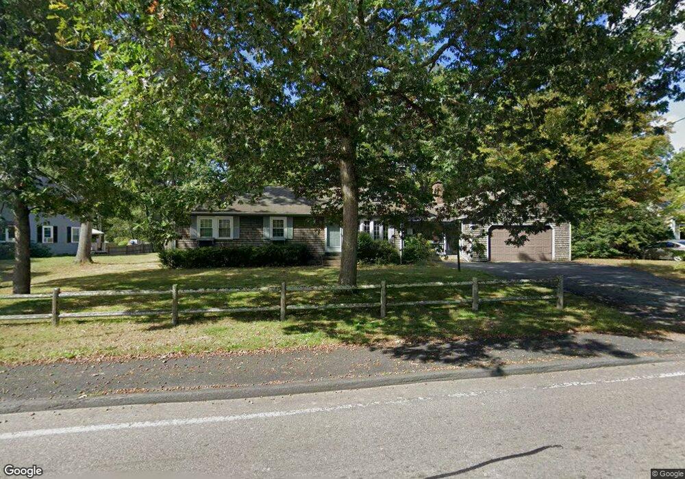
499 Locust St Attleboro, MA 02703
Estimated Value: $532,000 - $580,000
3
Beds
1
Bath
1,414
Sq Ft
$399/Sq Ft
Est. Value
About This Home
This home is located at 499 Locust St, Attleboro, MA 02703 and is currently estimated at $564,656, approximately $399 per square foot. 499 Locust St is a home located in Bristol County with nearby schools including Peter Thacher Elementary School, Wamsutta Middle School, and Attleboro High School.
Ownership History
Date
Name
Owned For
Owner Type
Purchase Details
Closed on
Aug 7, 2015
Sold by
Leblanc Wade
Bought by
Scripture Richard F
Current Estimated Value
Home Financials for this Owner
Home Financials are based on the most recent Mortgage that was taken out on this home.
Original Mortgage
$150,000
Outstanding Balance
$117,974
Interest Rate
4.03%
Mortgage Type
New Conventional
Estimated Equity
$446,682
Purchase Details
Closed on
Jun 20, 2001
Sold by
Hall G Frederic
Bought by
Leblanc Wade
Home Financials for this Owner
Home Financials are based on the most recent Mortgage that was taken out on this home.
Original Mortgage
$150,000
Interest Rate
7.09%
Mortgage Type
Purchase Money Mortgage
Purchase Details
Closed on
Dec 20, 1991
Sold by
Haselton Bruce A and Haselton Katherine
Bought by
Hall G Fredric
Create a Home Valuation Report for This Property
The Home Valuation Report is an in-depth analysis detailing your home's value as well as a comparison with similar homes in the area
Home Values in the Area
Average Home Value in this Area
Purchase History
| Date | Buyer | Sale Price | Title Company |
|---|---|---|---|
| Scripture Richard F | $280,000 | -- | |
| Leblanc Wade | $230,000 | -- | |
| Hall G Fredric | $148,700 | -- |
Source: Public Records
Mortgage History
| Date | Status | Borrower | Loan Amount |
|---|---|---|---|
| Open | Scripture Richard F | $150,000 | |
| Previous Owner | Hall G Fredric | $25,000 | |
| Previous Owner | Hall G Fredric | $121,500 | |
| Previous Owner | Hall G Fredric | $150,000 |
Source: Public Records
Tax History Compared to Growth
Tax History
| Year | Tax Paid | Tax Assessment Tax Assessment Total Assessment is a certain percentage of the fair market value that is determined by local assessors to be the total taxable value of land and additions on the property. | Land | Improvement |
|---|---|---|---|---|
| 2025 | $6,465 | $515,100 | $141,800 | $373,300 |
| 2024 | $6,189 | $486,200 | $141,800 | $344,400 |
| 2023 | $5,814 | $424,700 | $129,100 | $295,600 |
| 2022 | $5,523 | $382,200 | $122,900 | $259,300 |
| 2021 | $5,038 | $340,400 | $118,300 | $222,100 |
| 2020 | $4,894 | $336,100 | $114,800 | $221,300 |
| 2019 | $4,670 | $329,800 | $112,900 | $216,900 |
| 2018 | $4,523 | $305,200 | $109,400 | $195,800 |
| 2017 | $4,150 | $285,200 | $109,400 | $175,800 |
| 2016 | $3,895 | $262,800 | $107,300 | $155,500 |
| 2015 | $3,892 | $264,600 | $107,300 | $157,300 |
| 2014 | $3,595 | $242,100 | $102,200 | $139,900 |
Source: Public Records
Map
Nearby Homes
- 96 Mary Rocha Way
- 38 Standish Rd
- 599 Oakhill Ave
- 78 Saveena Dr
- 74 Saveena Dr
- 51 Saveena Dr
- 58 Saveena Dr
- 10 French Farm Rd
- 172 Downing Dr
- 2 Valley Run Dr
- 73 Valley Run Dr
- 139 Downing Dr
- 12 Valley Run Dr
- 12 Knollcrest Cir
- 429 S Main St Unit 1
- 71 Parsonage Way
- 1080 Oakhill Ave
- 714 S Main St
- 97 Dexter St
- 75 Grant St