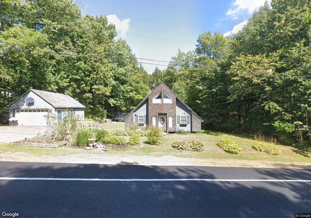
499 Route 133 Winthrop, ME 04364
Estimated Value: $267,000 - $323,000
2
Beds
1
Bath
1,245
Sq Ft
$237/Sq Ft
Est. Value
About This Home
This home is located at 499 Route 133, Winthrop, ME 04364 and is currently estimated at $295,429, approximately $237 per square foot. 499 Route 133 is a home located in Kennebec County with nearby schools including Winthrop Grade School, Winthrop Middle School, and Winthrop High School.
Ownership History
Date
Name
Owned For
Owner Type
Purchase Details
Closed on
Jul 7, 2020
Sold by
Pomelow Joshua M
Bought by
Pomelow Valarie T
Current Estimated Value
Home Financials for this Owner
Home Financials are based on the most recent Mortgage that was taken out on this home.
Original Mortgage
$134,310
Outstanding Balance
$119,097
Interest Rate
3.1%
Mortgage Type
FHA
Estimated Equity
$176,332
Purchase Details
Closed on
Sep 3, 2013
Sold by
Pomelow Sandra L
Bought by
Pomelow Joshua M and Pomelow Valarie T
Home Financials for this Owner
Home Financials are based on the most recent Mortgage that was taken out on this home.
Original Mortgage
$104,081
Interest Rate
4.4%
Mortgage Type
Purchase Money Mortgage
Create a Home Valuation Report for This Property
The Home Valuation Report is an in-depth analysis detailing your home's value as well as a comparison with similar homes in the area
Home Values in the Area
Average Home Value in this Area
Purchase History
| Date | Buyer | Sale Price | Title Company |
|---|---|---|---|
| Pomelow Valarie T | -- | None Available | |
| Pomelow Valarie T | -- | None Available | |
| Pomelow Joshua M | -- | -- | |
| Pomelow Joshua M | -- | -- |
Source: Public Records
Mortgage History
| Date | Status | Borrower | Loan Amount |
|---|---|---|---|
| Open | Pomelow Valarie T | $134,310 | |
| Closed | Pomelow Valarie T | $134,310 | |
| Previous Owner | Pomelow Joshua M | $104,081 |
Source: Public Records
Tax History Compared to Growth
Tax History
| Year | Tax Paid | Tax Assessment Tax Assessment Total Assessment is a certain percentage of the fair market value that is determined by local assessors to be the total taxable value of land and additions on the property. | Land | Improvement |
|---|---|---|---|---|
| 2024 | $3,132 | $135,600 | $30,100 | $105,500 |
| 2022 | $2,952 | $135,600 | $30,100 | $105,500 |
| 2021 | $2,787 | $135,600 | $30,100 | $105,500 |
| 2020 | $2,800 | $135,600 | $30,100 | $105,500 |
| 2019 | $2,746 | $135,600 | $30,100 | $105,500 |
| 2018 | $2,483 | $135,600 | $30,100 | $105,500 |
| 2017 | $2,323 | $135,600 | $30,100 | $105,500 |
| 2016 | $2,148 | $135,600 | $30,100 | $105,500 |
| 2015 | $2,072 | $135,600 | $30,100 | $105,500 |
| 2014 | $2,072 | $135,600 | $30,100 | $105,500 |
Source: Public Records
Map
Nearby Homes
- 150 Pamela Dr
- 38 Pamela Dr
- 345 Route 133
- 206 Route 133
- 35A-12 Woodland Rd
- 22 Guerette Rd
- 170 Hathaway Rd
- 23 Green St
- 90 Route 133
- 168 Main St
- 0 U S Highway 202
- 429 Sturtevant Hill Rd
- 90 Bearce Rd
- 87 Annabessacook Rd
- 347 Metcalf Rd
- 8 Horseshoe Rd
- 172-B Annabessacook Rd
- 172 Annabessacook Rd
- 427 Mount Pisgah Rd
- 309 Sturtevant Hill Rd
- 507 Route 133
- 506 Route 133
- 511 Route 133
- 512 Route 133
- 0 Route 133 Rd W Unit 809116
- 0 Route 133 Rd W Unit 798040
- 0 Route 133 Rd W Unit 749983
- 0 Route 133 Rd W Unit 724126
- 0 Route 133 Rd W Unit 724132
- 0 Route 133 Rd W Unit 706787
- 0 Route 133 Rd W Unit 706757
- 0 Route 133 Rd W Unit 656399
- 0 Route 133 Rd W Unit 656323
- 0 Route 133 Rd W Unit 470651
- 0 Route 133 Rd W Unit 269476
- 0 Route 133 Rd W Unit 269477
- 0 Route 133 Rd W Unit 850504
- 0 Route 133 Rd W Unit 778305
- 0 Route 133 Rd W Unit 257288
- 0 Route 133 Rd W Unit 308752