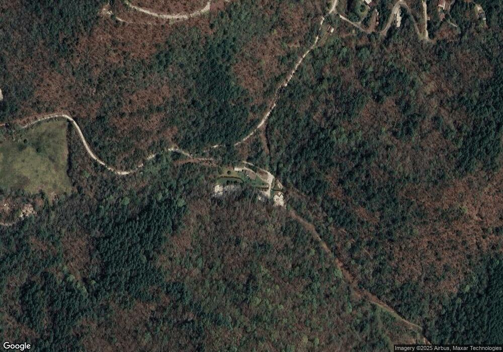
499 Slop Bucket Rd Clayton, GA 30525
Estimated Value: $291,000 - $486,000
3
Beds
2
Baths
1,740
Sq Ft
$226/Sq Ft
Est. Value
About This Home
This home is located at 499 Slop Bucket Rd, Clayton, GA 30525 and is currently estimated at $392,707, approximately $225 per square foot. 499 Slop Bucket Rd is a home located in Rabun County with nearby schools including Rabun County Primary School and Rabun County High School.
Ownership History
Date
Name
Owned For
Owner Type
Purchase Details
Closed on
Nov 30, 2015
Sold by
Slight Wilfred Arthur
Bought by
Blake Michael E
Current Estimated Value
Home Financials for this Owner
Home Financials are based on the most recent Mortgage that was taken out on this home.
Original Mortgage
$129,600
Outstanding Balance
$101,513
Interest Rate
3.83%
Mortgage Type
New Conventional
Estimated Equity
$291,194
Purchase Details
Closed on
Sep 14, 2011
Sold by
Federal National Mtg
Bought by
Slight Wilfred A
Home Financials for this Owner
Home Financials are based on the most recent Mortgage that was taken out on this home.
Original Mortgage
$52,000
Interest Rate
4.24%
Mortgage Type
Future Advance Clause Open End Mortgage
Purchase Details
Closed on
Jul 1, 1998
Bought by
Johnson Charles Daniel
Purchase Details
Closed on
May 1, 1985
Purchase Details
Closed on
Oct 1, 1970
Create a Home Valuation Report for This Property
The Home Valuation Report is an in-depth analysis detailing your home's value as well as a comparison with similar homes in the area
Home Values in the Area
Average Home Value in this Area
Purchase History
| Date | Buyer | Sale Price | Title Company |
|---|---|---|---|
| Blake Michael E | $144,000 | -- | |
| Blake Michael E | $144,000 | -- | |
| Slight Wilfred A | $87,000 | -- | |
| Slight Wilfred A | $87,000 | -- | |
| Johnson Charles Daniel | -- | -- | |
| Johnson Charles Daniel | -- | -- | |
| -- | -- | -- | |
| -- | -- | -- | |
| -- | -- | -- | |
| -- | -- | -- |
Source: Public Records
Mortgage History
| Date | Status | Borrower | Loan Amount |
|---|---|---|---|
| Open | Blake Michael E | $129,600 | |
| Closed | Blake Michael E | $129,600 | |
| Previous Owner | Slight Wilfred A | $52,000 |
Source: Public Records
Tax History Compared to Growth
Tax History
| Year | Tax Paid | Tax Assessment Tax Assessment Total Assessment is a certain percentage of the fair market value that is determined by local assessors to be the total taxable value of land and additions on the property. | Land | Improvement |
|---|---|---|---|---|
| 2025 | $1,284 | $84,430 | $8,606 | $75,824 |
| 2024 | $1,251 | $79,967 | $8,606 | $71,361 |
| 2023 | $1,336 | $74,998 | $8,100 | $66,898 |
| 2022 | $1,268 | $71,286 | $7,594 | $63,692 |
| 2021 | $1,139 | $62,747 | $7,088 | $55,659 |
| 2020 | $1,074 | $57,352 | $7,088 | $50,264 |
| 2019 | $1,081 | $57,352 | $7,088 | $50,264 |
| 2018 | $1,085 | $57,352 | $7,088 | $50,264 |
| 2017 | $1,078 | $57,352 | $7,088 | $50,264 |
| 2016 | $1,045 | $55,435 | $7,088 | $48,347 |
| 2015 | $734 | $51,365 | $6,562 | $44,802 |
| 2014 | $737 | $51,365 | $6,562 | $44,802 |
Source: Public Records
Map
Nearby Homes
- LOT 6 & 6B Steepway Ln
- 0 Persimmon Rd Unit 20136006
- 3662 Blue Ridge Gap Rd
- 166 Harrington Ct
- 832 Round Top Dr
- 0 Round Top Dr Unit 43B 10606429
- 503 Wright Brothers Way
- LOT 19 Wagstaff Way
- 11 Briarwood Ln
- 0 Nichols at Tate City Ln Unit 6 10559154
- LOT 5 Hemlock Ridge Dr
- 205 Briarwood Ln
- LOT 40 Anderson Dr
- 201 Lasso Ln
- 2594 Blue Ridge Gap Rd
- 460 Anderson Dr
- 0 Bob Hoover Trail Unit LOT 78
- 22 Cajun Loop
- 1068 Coleman River Rd
- 0 Yellow Trillium Unit LOT 13 10580243
- 560 Slop Bucket Rd
- 512 Slop Bucket Rd
- 29 Louing Creek Trail
- 29 Louing Creek Trail Unit TRACT 2
- 173 Louing Creek Trail
- 173 Louing Creek
- 102 Louing Creek Trail
- 780 Steepway Ln
- 239 Louing Creek Trail Unit 1
- 239 Louing Creek Trail
- 322 Louing Creek Trail
- 493 Slop Bucket Rd
- 315 Whiskey Run Ln
- 522 Persimmon Creek Rd
- 25 Slop Bucket Rd
- 0 Slop Bucket Rd Unit BUCKET
- 231 Whiskey Run Ln
- 266 Persimmon Creek Rd
- 222 Whiskey Run Ln
- 694 Persimmon Creek Rd
