499 W Maple Grove Rd Denver, PA 17517
Estimated Value: $465,000 - $661,000
3
Beds
2
Baths
2,807
Sq Ft
$197/Sq Ft
Est. Value
About This Home
This home is located at 499 W Maple Grove Rd, Denver, PA 17517 and is currently estimated at $551,911, approximately $196 per square foot. 499 W Maple Grove Rd is a home located in Lancaster County with nearby schools including Garden Spot Middle School, Garden Spot Senior High School, and Muddy Creek Christian School.
Ownership History
Date
Name
Owned For
Owner Type
Purchase Details
Closed on
Apr 10, 2017
Sold by
Hoover John David and Hoover Miriam S
Bought by
Hoover John David and Hoover Susie M
Current Estimated Value
Purchase Details
Closed on
Oct 9, 2012
Sold by
Hoover John David and Hoover Miriam S
Bought by
Hoover John David and Hoover Miriam S
Purchase Details
Closed on
Mar 25, 2010
Sold by
Hoover Aaron Z and Hoover Martha H
Bought by
Hoover John David
Create a Home Valuation Report for This Property
The Home Valuation Report is an in-depth analysis detailing your home's value as well as a comparison with similar homes in the area
Home Values in the Area
Average Home Value in this Area
Purchase History
| Date | Buyer | Sale Price | Title Company |
|---|---|---|---|
| Hoover John David | $422,000 | None Available | |
| Hoover John David | -- | None Available | |
| Hoover John David | $127,000 | None Available |
Source: Public Records
Tax History Compared to Growth
Tax History
| Year | Tax Paid | Tax Assessment Tax Assessment Total Assessment is a certain percentage of the fair market value that is determined by local assessors to be the total taxable value of land and additions on the property. | Land | Improvement |
|---|---|---|---|---|
| 2025 | $6,541 | $380,100 | $91,500 | $288,600 |
| 2024 | $6,541 | $380,100 | $91,500 | $288,600 |
| 2023 | $6,407 | $380,100 | $91,500 | $288,600 |
| 2022 | $6,297 | $380,100 | $91,500 | $288,600 |
| 2021 | $5,982 | $380,100 | $91,500 | $288,600 |
| 2020 | $5,982 | $380,100 | $91,500 | $288,600 |
| 2019 | $5,912 | $380,100 | $91,500 | $288,600 |
| 2018 | $9,203 | $376,700 | $91,500 | $285,200 |
| 2017 | $5,591 | $293,600 | $57,600 | $236,000 |
| 2016 | $5,591 | $293,600 | $57,600 | $236,000 |
| 2015 | $1,176 | $293,600 | $57,600 | $236,000 |
| 2014 | $4,232 | $293,600 | $57,600 | $236,000 |
Source: Public Records
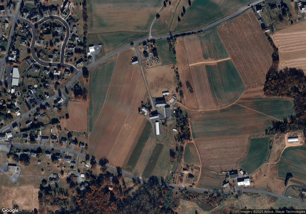
Map
Nearby Homes
- 534 High Point Dr
- 602 Greenview Dr
- 111 Oatfield Dr
- 133 Millstone Dr
- 114 Hawk Valley Ln Unit 104
- 117 Hawk Valley Ln Unit 105
- 101 Hawk Valley Ln
- 55 Hawk Valley Ln
- Bridgemont Plan at Hawk Valley Estates
- Sullivan Plan at Hawk Valley Estates
- Silverbrooke Plan at Hawk Valley Estates
- Wesley Plan at Hawk Valley Estates
- Kingston Plan at Hawk Valley Estates
- Logan Plan at Hawk Valley Estates
- Brookfield Plan at Hawk Valley Estates
- Westbrooke Plan at Hawk Valley Estates
- Berkley Plan at Hawk Valley Estates
- Callahan Plan at Hawk Valley Estates
- 01 W Valley Rd
- 32 Hawk Valley Ln
- 510 Pleasant Valley Rd
- 504 Pleasant Valley Rd
- 529 W Maple Grove Rd
- 487 Pleasant Valley Rd
- 508 Pleasant Valley Rd
- 500 High Point Dr
- 520 W Maple Grove Rd
- 499 Pleasant Valley Rd
- 480 Pleasant Valley Rd
- 503 High Point Dr
- 512 Pleasant Valley Rd
- 534 W Maple Grove Rd
- 1100 Village Cir
- 507 Pleasant Valley Rd
- 1104 Village Cir
- 516 Pleasant Valley Rd
- 507 High Point Dr
- 541 W Maple Grove Rd
- 1108 Village Cir
- 538 W Maple Grove Rd